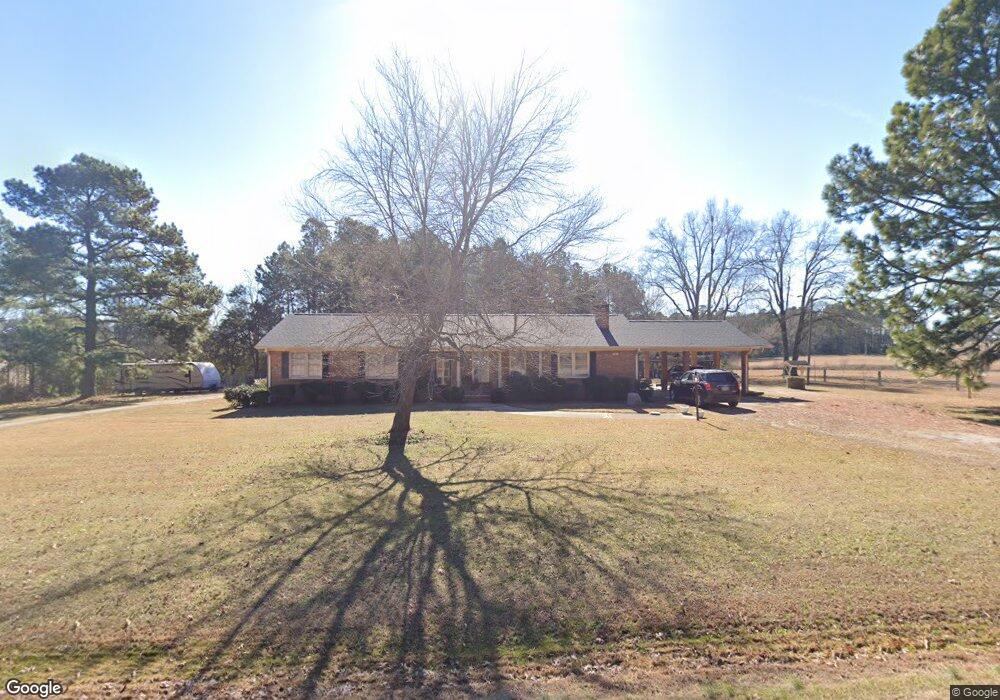
1011 Roxboro Rd Oxford, NC 27565
Estimated Value: $300,388 - $351,000
--
Bed
3
Baths
1,826
Sq Ft
$177/Sq Ft
Est. Value
About This Home
This home is located at 1011 Roxboro Rd, Oxford, NC 27565 and is currently estimated at $323,097, approximately $176 per square foot. 1011 Roxboro Rd is a home located in Granville County with nearby schools including West Oxford Elementary School, Northern Granville Middle School, and J.F. Webb High School.
Ownership History
Date
Name
Owned For
Owner Type
Purchase Details
Closed on
Nov 14, 2007
Sold by
Clark Gilbert D and Clark Linda Gail
Bought by
Harris Sherrel E
Current Estimated Value
Home Financials for this Owner
Home Financials are based on the most recent Mortgage that was taken out on this home.
Original Mortgage
$144,400
Outstanding Balance
$90,938
Interest Rate
6.29%
Mortgage Type
New Conventional
Estimated Equity
$232,159
Create a Home Valuation Report for This Property
The Home Valuation Report is an in-depth analysis detailing your home's value as well as a comparison with similar homes in the area
Home Values in the Area
Average Home Value in this Area
Purchase History
| Date | Buyer | Sale Price | Title Company |
|---|---|---|---|
| Harris Sherrel E | $152,000 | -- | |
| Clark Gilbert D | -- | -- |
Source: Public Records
Mortgage History
| Date | Status | Borrower | Loan Amount |
|---|---|---|---|
| Open | Clark Gilbert D | $144,400 |
Source: Public Records
Tax History Compared to Growth
Tax History
| Year | Tax Paid | Tax Assessment Tax Assessment Total Assessment is a certain percentage of the fair market value that is determined by local assessors to be the total taxable value of land and additions on the property. | Land | Improvement |
|---|---|---|---|---|
| 2025 | $1,752 | $238,487 | $45,569 | $192,918 |
| 2024 | $1,752 | $238,487 | $45,569 | $192,918 |
| 2023 | $1,293 | $130,567 | $26,536 | $104,031 |
| 2022 | $1,272 | $130,567 | $26,536 | $104,031 |
| 2021 | $1,189 | $130,567 | $26,536 | $104,031 |
| 2020 | $1,189 | $130,567 | $26,536 | $104,031 |
| 2019 | $1,189 | $130,567 | $26,536 | $104,031 |
| 2018 | $1,189 | $130,567 | $26,536 | $104,031 |
| 2016 | $1,387 | $147,106 | $26,557 | $120,549 |
| 2015 | $1,308 | $147,106 | $26,557 | $120,549 |
| 2014 | $1,308 | $147,106 | $26,557 | $120,549 |
| 2013 | -- | $147,106 | $26,557 | $120,549 |
Source: Public Records
Map
Nearby Homes
- 616 Roxboro Rd
- 609 N Country Club Dr
- 204 Cardinal Ct
- 206 Cardinal Ct
- 6063 N Carolina 96
- 103 Alston Ct
- 316 Keeneland Dr
- 127 Daniel St
- 6049 Mulberry Ln
- 2605 Joe Pruitt Rd
- 96 North St
- 201 Providence Rd
- 735 Baker St
- 722 Baker St
- 511 Broad St
- 611 College St
- 105 W Thorndale Dr
- 300 Coleman St
- 114 Hays St
- 104 Seaman St
- 1010 Roxboro Rd
- 1016 Roxboro Rd
- 919 Roxboro Rd
- 1000 Roxboro Rd
- 1020 Roxboro Rd
- 917 Roxboro Rd
- 920 Roxboro Rd
- 613 Ivey Day Rd
- 611 Ivey Day Rd
- 611 Ivey Day Rd
- 929 Roxboro Rd
- 929 Roxboro Rd
- 929 Roxboro Rd
- 929 Roxboro Rd
- 929 Roxboro Rd
- 909 Roxboro Rd
- 908 Roxboro Rd
- 5640C Cornwall Rd
- 5640B Cornwall Rd
- 1023 Roxboro Rd