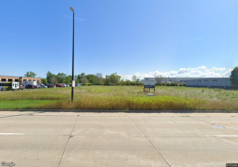
1011 S Huron Rd Green Bay, WI 54311
Far Eastside NeighborhoodEstimated Value: $491,221
--
Bed
--
Bath
--
Sq Ft
1.49
Acres
About This Home
This home is located at 1011 S Huron Rd, Green Bay, WI 54311 and is currently priced at $491,221. 1011 S Huron Rd is a home located in Brown County with nearby schools including McAuliffe Elementary School, Edison Middle School, and Preble High School.
Ownership History
Date
Name
Owned For
Owner Type
Purchase Details
Closed on
Jan 22, 2018
Sold by
1011 S Huron Road Llc
Bought by
D & D Automotive Group Llc
Current Estimated Value
Purchase Details
Closed on
May 18, 2017
Sold by
Heyrman Christopher J and Cavil Edwin G
Bought by
1011 Huron Road Llc
Home Financials for this Owner
Home Financials are based on the most recent Mortgage that was taken out on this home.
Original Mortgage
$225,000
Interest Rate
4.08%
Mortgage Type
Commercial
Create a Home Valuation Report for This Property
The Home Valuation Report is an in-depth analysis detailing your home's value as well as a comparison with similar homes in the area
Home Values in the Area
Average Home Value in this Area
Purchase History
| Date | Buyer | Sale Price | Title Company |
|---|---|---|---|
| D & D Automotive Group Llc | -- | None Available | |
| 1011 Huron Road Llc | $300,000 | Liberty Title |
Source: Public Records
Mortgage History
| Date | Status | Borrower | Loan Amount |
|---|---|---|---|
| Previous Owner | 1011 Huron Road Llc | $225,000 |
Source: Public Records
Tax History Compared to Growth
Tax History
| Year | Tax Paid | Tax Assessment Tax Assessment Total Assessment is a certain percentage of the fair market value that is determined by local assessors to be the total taxable value of land and additions on the property. | Land | Improvement |
|---|---|---|---|---|
| 2024 | $3,562 | $178,800 | $178,800 | -- |
| 2023 | $3,458 | $178,800 | $178,800 | $0 |
| 2022 | $3,340 | $178,800 | $178,800 | $0 |
| 2021 | $2,820 | $113,700 | $113,700 | $0 |
| 2020 | $2,800 | $113,700 | $113,700 | $0 |
| 2019 | $2,737 | $113,700 | $113,700 | $0 |
| 2018 | $3,568 | $152,600 | $152,600 | $0 |
| 2017 | $3,477 | $152,600 | $152,600 | $0 |
| 2016 | $3,432 | $152,600 | $152,600 | $0 |
| 2015 | $3,401 | $152,600 | $152,600 | $0 |
| 2014 | $3,592 | $152,600 | $152,600 | $0 |
| 2013 | $3,592 | $152,600 | $152,600 | $0 |
Source: Public Records
Map
Nearby Homes
- 1301 S Huron Rd
- 911 Erie Rd
- 0 Erie Rd Unit 50232624
- 0 Erie Rd Unit 50232623
- 308 Erie Rd
- 300 Erie Rd
- 316 Erie Rd
- 3129 Finger Rd
- 2730 Castaway Ct
- 0 Lowell Dr
- 3109 Lazy Oak Ct
- 3113 Lazy Oak Ct
- 473 Ontario Rd
- 3114 Lazy Oak Ct
- 3110 Lazy Oak Ct
- 3353 Sitka St
- 1563 Diamond Ct
- 387 Baywood Trail
- 372 Baywood Trail
- 381 Baywood Trail
- 1130 S Huron Rd
- 3400 E Mason St
- 3237 Voyager Dr
- 3415 E Mason St
- 3400 3400 E Mason St
- 3221 Voyager Dr
- 723 723 Huron
- 723 S Huron Rd
- 745 S Huron Rd
- 711 711 S Huron Rd
- 711 S Huron Rd
- 1349 S Huron Rd
- 2468 Orion Cir
- 2489 Orion Cir
- 3462 Friars Path
- 3380 Finger Rd
- 3382 Finger Rd
- 3464 Friars Path
- 0 Finger Rd Unit 50114703
- 0 Finger Rd Unit 50250424