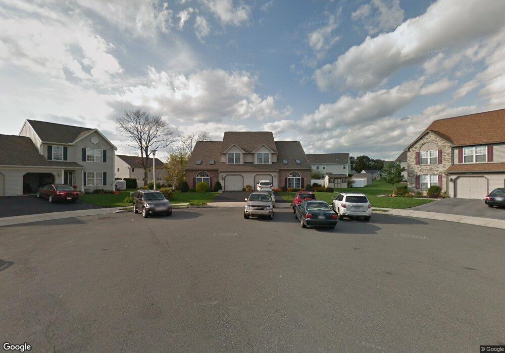
1011 Saint Vincent Ct Reading, PA 19605
Outer Muhlenberg Township NeighborhoodEstimated Value: $178,070 - $415,000
--
Bed
3
Baths
2,087
Sq Ft
$156/Sq Ft
Est. Value
About This Home
This home is located at 1011 Saint Vincent Ct, Reading, PA 19605 and is currently estimated at $325,268, approximately $155 per square foot. 1011 Saint Vincent Ct is a home located in Berks County with nearby schools including C E Cole Intermediate School, Muhlenberg Elementary Center, and Muhlenberg Junior High School.
Ownership History
Date
Name
Owned For
Owner Type
Purchase Details
Closed on
Jul 14, 2006
Sold by
Neff Brian C and Kazor Jason
Bought by
Beaulieu Gregory O and Beaulieu Carol A
Current Estimated Value
Home Financials for this Owner
Home Financials are based on the most recent Mortgage that was taken out on this home.
Original Mortgage
$204,000
Interest Rate
6.71%
Mortgage Type
New Conventional
Create a Home Valuation Report for This Property
The Home Valuation Report is an in-depth analysis detailing your home's value as well as a comparison with similar homes in the area
Home Values in the Area
Average Home Value in this Area
Purchase History
| Date | Buyer | Sale Price | Title Company |
|---|---|---|---|
| Beaulieu Gregory O | $204,000 | None Available |
Source: Public Records
Mortgage History
| Date | Status | Borrower | Loan Amount |
|---|---|---|---|
| Open | Beaulieu Gregory O | $185,500 | |
| Previous Owner | Beaulieu Gregory O | $204,000 | |
| Previous Owner | Neff Brian C | $150,000 | |
| Previous Owner | Neff Brian C | $18,800 | |
| Previous Owner | Neff Brian C | $30,000 | |
| Previous Owner | Neff Brian C | $139,500 |
Source: Public Records
Tax History Compared to Growth
Tax History
| Year | Tax Paid | Tax Assessment Tax Assessment Total Assessment is a certain percentage of the fair market value that is determined by local assessors to be the total taxable value of land and additions on the property. | Land | Improvement |
|---|---|---|---|---|
| 2025 | $2,277 | $151,700 | $31,900 | $119,800 |
| 2024 | $7,303 | $151,700 | $31,900 | $119,800 |
| 2023 | $6,855 | $151,700 | $31,900 | $119,800 |
| 2022 | $6,741 | $151,700 | $31,900 | $119,800 |
| 2021 | $6,582 | $151,700 | $31,900 | $119,800 |
| 2020 | $6,582 | $151,700 | $31,900 | $119,800 |
| 2019 | $6,442 | $151,700 | $31,900 | $119,800 |
| 2018 | $6,328 | $151,700 | $31,900 | $119,800 |
| 2017 | $6,209 | $151,700 | $31,900 | $119,800 |
| 2016 | $1,839 | $151,700 | $31,900 | $119,800 |
| 2015 | $1,839 | $151,700 | $31,900 | $119,800 |
| 2014 | $1,839 | $151,700 | $31,900 | $119,800 |
Source: Public Records
Map
Nearby Homes
- 1047 Sage Ave
- 1033 Barberry Ave
- 1021 Barberry Ave Unit T67
- 1019 Heath Ave
- 1002 Heath Ave
- 5213 Stoudts Ferry Bridge Rd
- 1282 Fredrick Blvd Unit 15F
- 1025 River Crest Dr
- 1012 Dallas Rd
- 1052 Boeshore Cir
- 1041 River Crest Dr
- 833 Pine Heights Rd
- 3810 Willow Grove Ave
- 914 Suellen Dr
- 1105 Showers Ln
- 503 El Hatco Dr
- 1125 Ashbourne Dr
- 706 Wagon Wheel Ln
- 3706 Rosewood Rd
- 1033 Whitford Dr
- 1009 Saint Vincent Ct
- 1013 Saint Vincent Ct
- 1015 Saint Vincent Ct
- 1007 Saint Vincent Ct
- 1037 Leanne St
- 1041 Leanne St
- 1039 Leanne St
- 1035 Leanne St
- 1043 Leanne St
- 1033 Leanne St
- 1045 Leanne St
- 1005 Saint Vincent Ct
- 1017 Parkway Dr
- 1015 Parkway Dr
- 1019 Parkway Dr
- 1013 Parkway Dr
- 1047 Leanne St
- 1021 Parkway Dr
- 1011 Parkway Dr
- 1024 Saint Vincent Ct