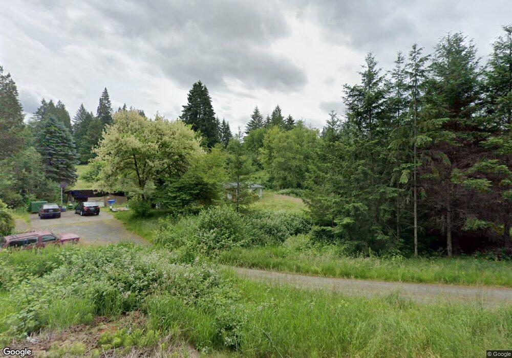
1011 Sandy Bend Rd Castle Rock, WA 98611
Estimated Value: $445,612 - $565,000
3
Beds
1
Bath
1,456
Sq Ft
$351/Sq Ft
Est. Value
About This Home
This home is located at 1011 Sandy Bend Rd, Castle Rock, WA 98611 and is currently estimated at $510,653, approximately $350 per square foot. 1011 Sandy Bend Rd is a home located in Cowlitz County with nearby schools including Castle Rock Elementary School, Castle Rock Middle School, and Castle Rock High School.
Ownership History
Date
Name
Owned For
Owner Type
Purchase Details
Closed on
Jun 13, 2025
Sold by
Chambers Lance A and Calvert Andrea L
Bought by
Chambers Lance A and Calvert Andrea L
Current Estimated Value
Purchase Details
Closed on
Dec 3, 2020
Sold by
Chambers Shawn and Chambers James Denise
Bought by
Calvert Andrea L
Home Financials for this Owner
Home Financials are based on the most recent Mortgage that was taken out on this home.
Original Mortgage
$231,880
Interest Rate
2.8%
Mortgage Type
New Conventional
Purchase Details
Closed on
Feb 5, 2007
Sold by
The Bank Of New York
Bought by
Chambers Dennis
Create a Home Valuation Report for This Property
The Home Valuation Report is an in-depth analysis detailing your home's value as well as a comparison with similar homes in the area
Home Values in the Area
Average Home Value in this Area
Purchase History
| Date | Buyer | Sale Price | Title Company |
|---|---|---|---|
| Chambers Lance A | -- | None Listed On Document | |
| Calvert Andrea L | $133,334 | Stewart Title Cowlitz County | |
| Chambers Dennis | -- | None Available |
Source: Public Records
Mortgage History
| Date | Status | Borrower | Loan Amount |
|---|---|---|---|
| Previous Owner | Calvert Andrea L | $231,880 |
Source: Public Records
Tax History Compared to Growth
Tax History
| Year | Tax Paid | Tax Assessment Tax Assessment Total Assessment is a certain percentage of the fair market value that is determined by local assessors to be the total taxable value of land and additions on the property. | Land | Improvement |
|---|---|---|---|---|
| 2024 | $3,407 | $405,240 | $85,570 | $319,670 |
| 2023 | $3,489 | $437,150 | $85,570 | $351,580 |
| 2022 | $2,756 | $389,410 | $85,570 | $303,840 |
| 2021 | $2,249 | $306,560 | $85,570 | $220,990 |
| 2020 | $2,345 | $242,320 | $74,410 | $167,910 |
| 2019 | $2,049 | $262,337 | $73,001 | $189,336 |
| 2018 | $2,236 | $225,690 | $73,000 | $152,690 |
| 2017 | $1,884 | $213,200 | $69,520 | $143,680 |
| 2016 | $1,683 | $181,740 | $66,210 | $115,530 |
| 2015 | $1,649 | $174,300 | $66,210 | $108,090 |
| 2013 | -- | $157,850 | $62,840 | $95,010 |
Source: Public Records
Map
Nearby Homes
- 6609 Westside Hwy
- 107 Guinevere Ct
- 1020 3rd Ave SW
- 410 Hicks Rd
- 642 5th Ave SW
- 546 4th Ave SW
- 56 Shear St SW
- 705 1st Ave SW
- 237 C St SW
- 0 Huntington Ave S Unit NWM2336096
- 1 D St SW
- 438 Front Ave SW
- 411 Brierwood Ct SE
- 203 Roake Ave SE
- 114 Cherry St NW
- 385 Front Ave NW
- 3820 Westside Hwy
- 0 Pioneer Ave NE
- 153 Green Acres Dr
- 611 Pioneer Ave NE
- 1005 Sandy Bend Rd
- 1017 Sandy Bend Rd
- 987 Sandy Bend Rd
- 213 White Rd
- 1021 Sandy Bend Rd
- 1000 Sandy Bend Rd
- 1006 Sandy Bend Rd
- 209 White Rd
- 981 Sandy Bend Rd
- 208 White Rd
- 4354 Westside Hwy
- 245 White Rd
- 203 White Rd
- 230 White Rd
- 262 White Rd
- 4310 Westside Hwy
- 4308 W Side Hwy
- 4308 Westside Hwy
- 202 White Rd
- 160 Wren Loop Rd