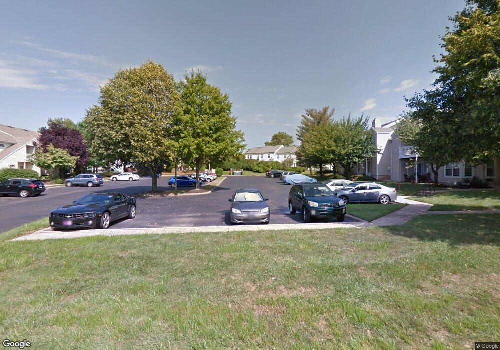
1011 Shepherds Way Unit 4 Southampton, PA 18966
Estimated Value: $268,000 - $323,000
1
Bed
2
Baths
761
Sq Ft
$386/Sq Ft
Est. Value
About This Home
This home is located at 1011 Shepherds Way Unit 4, Southampton, PA 18966 and is currently estimated at $293,592, approximately $385 per square foot. 1011 Shepherds Way Unit 4 is a home located in Bucks County with nearby schools including Rolling Hills Elementary School, Richboro Middle School, and Council Rock High School - South.
Ownership History
Date
Name
Owned For
Owner Type
Purchase Details
Closed on
May 19, 2004
Sold by
Figarsky Edward A
Bought by
Remar Colleen
Current Estimated Value
Home Financials for this Owner
Home Financials are based on the most recent Mortgage that was taken out on this home.
Original Mortgage
$112,750
Outstanding Balance
$54,679
Interest Rate
5.99%
Mortgage Type
Purchase Money Mortgage
Estimated Equity
$238,913
Purchase Details
Closed on
Jul 25, 1986
Bought by
Figarsky Edward A
Create a Home Valuation Report for This Property
The Home Valuation Report is an in-depth analysis detailing your home's value as well as a comparison with similar homes in the area
Home Values in the Area
Average Home Value in this Area
Purchase History
| Date | Buyer | Sale Price | Title Company |
|---|---|---|---|
| Remar Colleen | $145,000 | -- | |
| Figarsky Edward A | $64,600 | -- |
Source: Public Records
Mortgage History
| Date | Status | Borrower | Loan Amount |
|---|---|---|---|
| Open | Remar Colleen | $112,750 | |
| Closed | Remar Colleen | $25,000 |
Source: Public Records
Tax History Compared to Growth
Tax History
| Year | Tax Paid | Tax Assessment Tax Assessment Total Assessment is a certain percentage of the fair market value that is determined by local assessors to be the total taxable value of land and additions on the property. | Land | Improvement |
|---|---|---|---|---|
| 2025 | $2,912 | $15,120 | -- | $15,120 |
| 2024 | $2,912 | $15,120 | $0 | $15,120 |
| 2023 | $2,745 | $15,120 | $0 | $15,120 |
| 2022 | $2,720 | $15,120 | $0 | $15,120 |
| 2021 | $2,634 | $15,120 | $0 | $15,120 |
| 2020 | $2,574 | $15,120 | $0 | $15,120 |
| 2019 | $2,464 | $15,120 | $0 | $15,120 |
| 2018 | $2,420 | $15,120 | $0 | $15,120 |
| 2017 | $2,327 | $15,120 | $0 | $15,120 |
| 2016 | $2,327 | $15,120 | $0 | $15,120 |
| 2015 | -- | $15,120 | $0 | $15,120 |
| 2014 | -- | $15,120 | $0 | $15,120 |
Source: Public Records
Map
Nearby Homes
- 501 Potters Ct
- 180 Independence Dr
- 10014 Beacon Hill Dr Unit 7
- 281 E Village Rd
- 501 Heritage Place Unit 1
- 66 Nathaniel Rd
- 9015 Heritage Dr Unit 8
- 21 Joanne Rd
- 29 Tree Bark Ln
- 15 Dover Place
- 21 Tree Bark Ln
- 3231 Durham Place
- 102 Keenan Ln
- 23 Brianna Rd
- 48 Old Mill Ln
- 258 Woodlake Dr
- 163 Leedom Way Unit 25
- 104 Cornell Rd
- 28 Peter Dr
- 210 E Hanover St
- 109 Shepherds Way Unit 3
- 1013 Shepherds Way Unit 5
- 1023 Shepherds Way Unit 9
- 105 Shepherds Way Unit 2
- 1021 Shepherds Way
- 1015 Shepherds Way Unit 6
- 107 Shepherds Way Unit 1
- 1017 Shepherds Way
- 1019 Shepherds Way Unit 7
- 101 Shepherds Way Unit 11
- 103 Shepherds Way Unit 12
- 25 Taylors Way
- 23 Taylors Way
- 21 Taylors Way
- 19 Taylors Way
- 3 Shepherds Way Unit 5
- 5 Shepherds Way Unit 1
- 11 Shepherds Way
- 19 Shepherds Way
- 7 Shepherds Way