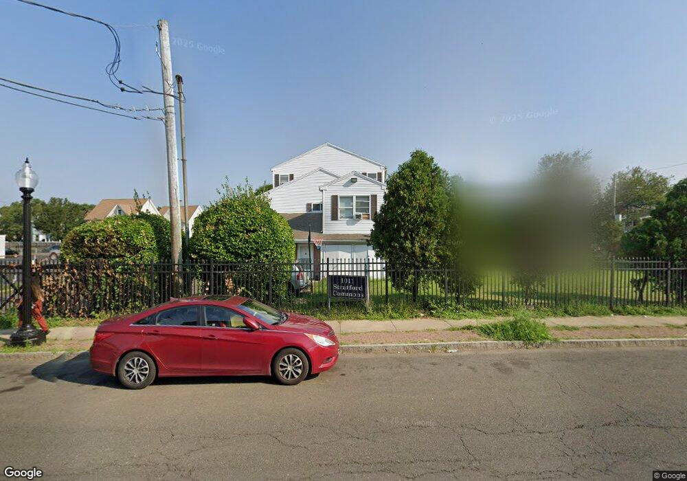
1011 Stratford Ave Unit 9 Bridgeport, CT 06607
East End NeighborhoodEstimated Value: $162,786 - $180,000
2
Beds
2
Baths
870
Sq Ft
$198/Sq Ft
Est. Value
About This Home
This home is located at 1011 Stratford Ave Unit 9, Bridgeport, CT 06607 and is currently estimated at $171,947, approximately $197 per square foot. 1011 Stratford Ave Unit 9 is a home located in Fairfield County with nearby schools including Dunbar School, Harding High School, and Capital Prep Harbor Upper School.
Ownership History
Date
Name
Owned For
Owner Type
Purchase Details
Closed on
Aug 2, 1996
Sold by
Hall Neighborhood Hse
Bought by
Spearman Maurice A and Spearman Connie S
Current Estimated Value
Home Financials for this Owner
Home Financials are based on the most recent Mortgage that was taken out on this home.
Original Mortgage
$35,000
Outstanding Balance
$2,781
Interest Rate
8.27%
Mortgage Type
Unknown
Estimated Equity
$169,166
Create a Home Valuation Report for This Property
The Home Valuation Report is an in-depth analysis detailing your home's value as well as a comparison with similar homes in the area
Home Values in the Area
Average Home Value in this Area
Purchase History
| Date | Buyer | Sale Price | Title Company |
|---|---|---|---|
| Spearman Maurice A | $38,000 | -- | |
| Spearman Maurice A | $38,000 | -- |
Source: Public Records
Mortgage History
| Date | Status | Borrower | Loan Amount |
|---|---|---|---|
| Open | Spearman Maurice A | $35,000 | |
| Closed | Spearman Maurice A | $35,000 | |
| Closed | Spearman Maurice A | $3,000 |
Source: Public Records
Tax History Compared to Growth
Tax History
| Year | Tax Paid | Tax Assessment Tax Assessment Total Assessment is a certain percentage of the fair market value that is determined by local assessors to be the total taxable value of land and additions on the property. | Land | Improvement |
|---|---|---|---|---|
| 2025 | $2,388 | $54,970 | $0 | $54,970 |
| 2024 | $2,388 | $54,970 | $0 | $54,970 |
| 2023 | $2,388 | $54,970 | $0 | $54,970 |
| 2022 | $2,388 | $54,970 | $0 | $54,970 |
| 2021 | $2,388 | $54,970 | $0 | $54,970 |
| 2020 | $1,767 | $32,730 | $0 | $32,730 |
| 2019 | $1,767 | $32,730 | $0 | $32,730 |
| 2018 | $1,780 | $32,730 | $0 | $32,730 |
| 2017 | $1,780 | $32,730 | $0 | $32,730 |
| 2016 | $1,780 | $32,730 | $0 | $32,730 |
| 2015 | $2,394 | $56,720 | $0 | $56,720 |
| 2014 | $2,394 | $56,720 | $0 | $56,720 |
Source: Public Records
Map
Nearby Homes
- 40 5th St
- 93 Clifford St
- 54 6th St
- 643 Newfield Ave Unit 645
- 49 Bunnell St Unit 51
- 247 6th St
- 520 Seaview Ave
- 221 Bunnell St
- 800 Seaview Ave Unit 790-3
- 205 Smith St
- 180 Holly St
- 228 Holly St Unit 230
- 408 Union Ave
- 363 Carroll Ave Unit 365
- 566 Wilmot Ave Unit 4
- 320 Union Ave
- 819 Connecticut Ave Unit 6
- 785 Connecticut Ave Unit 2
- 610 Wilmot Ave Unit 4
- 591 Wilmot Ave Unit 3
- 1011 Stratford Ave Unit 8
- 1011 Stratford Ave Unit 6
- 1011 Stratford Ave Unit 5
- 1011 Stratford Ave Unit 4
- 1011 Stratford Ave Unit 3
- 1011 Stratford Ave Unit 2
- 1011 Stratford Ave Unit 1
- 71 4th St
- 81 4th St
- 63 4th St
- 63 4th St Unit 1
- 356 Connecticut Ave Unit 358
- 368 Connecticut Ave Unit 11
- 368 Connecticut Ave Unit 10
- 368 Connecticut Ave Unit 9
- 368 Connecticut Ave Unit 8
- 368 Connecticut Ave Unit 7
- 368 Connecticut Ave Unit 6
- 368 Connecticut Ave Unit 5