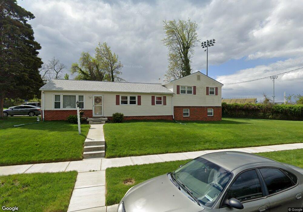
1011 Stratwood Ave Oxon Hill, MD 20745
Estimated Value: $356,868 - $430,000
--
Bed
2
Baths
1,644
Sq Ft
$236/Sq Ft
Est. Value
About This Home
This home is located at 1011 Stratwood Ave, Oxon Hill, MD 20745 and is currently estimated at $387,717, approximately $235 per square foot. 1011 Stratwood Ave is a home located in Prince George's County with nearby schools including Flintstone Elementary School, Oxon Hill Middle School, and Oxon Hill High School.
Ownership History
Date
Name
Owned For
Owner Type
Purchase Details
Closed on
Dec 30, 1997
Sold by
Secretary Of Veterans Affairs
Bought by
Fagan Patrick S and Fagan Sheila T
Current Estimated Value
Purchase Details
Closed on
Apr 2, 1996
Sold by
Toliver Mike
Bought by
Secretary Of Veterans Affairs
Purchase Details
Closed on
May 12, 1993
Sold by
Wheaton David S and Wheaton Glenda I
Bought by
Toliver Mike
Create a Home Valuation Report for This Property
The Home Valuation Report is an in-depth analysis detailing your home's value as well as a comparison with similar homes in the area
Home Values in the Area
Average Home Value in this Area
Purchase History
| Date | Buyer | Sale Price | Title Company |
|---|---|---|---|
| Fagan Patrick S | $98,557 | -- | |
| Secretary Of Veterans Affairs | $106,584 | -- | |
| Toliver Mike | $120,500 | -- |
Source: Public Records
Tax History Compared to Growth
Tax History
| Year | Tax Paid | Tax Assessment Tax Assessment Total Assessment is a certain percentage of the fair market value that is determined by local assessors to be the total taxable value of land and additions on the property. | Land | Improvement |
|---|---|---|---|---|
| 2025 | $3,729 | $324,167 | -- | -- |
| 2024 | $3,729 | $290,900 | $87,000 | $203,900 |
| 2023 | $3,594 | $274,800 | $0 | $0 |
| 2022 | $3,427 | $258,700 | $0 | $0 |
| 2021 | $3,264 | $242,600 | $76,000 | $166,600 |
| 2020 | $3,208 | $234,367 | $0 | $0 |
| 2019 | $3,135 | $226,133 | $0 | $0 |
| 2018 | $3,047 | $217,900 | $76,000 | $141,900 |
| 2017 | $2,946 | $203,500 | $0 | $0 |
| 2016 | -- | $189,100 | $0 | $0 |
| 2015 | $2,798 | $174,700 | $0 | $0 |
| 2014 | $2,798 | $174,700 | $0 | $0 |
Source: Public Records
Map
Nearby Homes
- 1110 Vinson St
- 6900 Stirling St
- 7100 Southlawn Dr
- 1007 Comanche Dr
- 5926 Shoshone Dr
- 6524 Buckland Ct
- 6348 Stonewain Ct
- 5812 Shoshone Dr
- 1206 Crisfield Dr
- 554 Wilson Bridge Dr Unit 6755A( A2)
- 554 Wilson Bridge Dr Unit 6755 B-1
- 7009 Shagbark Ct
- 6225 Dimrill Ct
- 6903 Bock Rd
- 534 Wilson Bridge Dr Unit C-1
- 2016 Belfast Dr
- 5605 Fargo Ave
- 2004 Wolf St
- 2107 High Timber Rd
- 6120 Brandyhall Ct
- 1012 Stratwood Ave
- 1010 Stratwood Ave
- 1101 Stratwood Ave
- 1008 Stratwood Ave
- 6602 Huff Dr
- 1100 Stratwood Ave
- 1006 Stratwood Ave
- 1103 Stratwood Ave
- 1102 Stratwood Ave
- 1105 Stratwood Ave
- 1104 Stratwood Ave
- 6605 Dulin Dr
- 1107 Stratwood Ave
- 6451 Livingston Rd
- 6607 Dulin Dr
- 1106 Stratwood Ave
- 6700 Haven Ave
- 6611 Dulin Dr
- 6609 Dulin Dr
- 6441 Livingston Rd