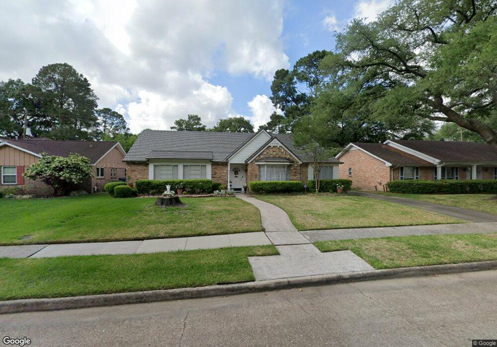
1011 Thornton Rd Houston, TX 77018
Oak Forest-Garden Oaks NeighborhoodEstimated Value: $642,613 - $688,000
4
Beds
3
Baths
2,307
Sq Ft
$286/Sq Ft
Est. Value
About This Home
This home is located at 1011 Thornton Rd, Houston, TX 77018 and is currently estimated at $660,903, approximately $286 per square foot. 1011 Thornton Rd is a home located in Harris County with nearby schools including Durham Elementary School, Frank Black Middle School, and Waltrip High School.
Ownership History
Date
Name
Owned For
Owner Type
Purchase Details
Closed on
Jul 9, 2025
Sold by
Sacco Rose Marie and Harding Sandra Jean
Bought by
Horton Benjamin and Horton Holland
Current Estimated Value
Home Financials for this Owner
Home Financials are based on the most recent Mortgage that was taken out on this home.
Original Mortgage
$634,100
Outstanding Balance
$632,950
Interest Rate
6.5%
Mortgage Type
New Conventional
Estimated Equity
$27,953
Purchase Details
Closed on
May 23, 2022
Sold by
Marie Sacco Rose
Bought by
Sacco Rose Marie
Create a Home Valuation Report for This Property
The Home Valuation Report is an in-depth analysis detailing your home's value as well as a comparison with similar homes in the area
Home Values in the Area
Average Home Value in this Area
Purchase History
| Date | Buyer | Sale Price | Title Company |
|---|---|---|---|
| Horton Benjamin | -- | Alamo Title Company | |
| Sacco Rose Marie | -- | None Listed On Document |
Source: Public Records
Mortgage History
| Date | Status | Borrower | Loan Amount |
|---|---|---|---|
| Open | Horton Benjamin | $634,100 |
Source: Public Records
Tax History Compared to Growth
Tax History
| Year | Tax Paid | Tax Assessment Tax Assessment Total Assessment is a certain percentage of the fair market value that is determined by local assessors to be the total taxable value of land and additions on the property. | Land | Improvement |
|---|---|---|---|---|
| 2025 | $1,631 | $533,820 | $322,000 | $211,820 |
| 2024 | $1,631 | $538,329 | $322,000 | $216,329 |
| 2023 | $1,362 | $494,361 | $289,800 | $204,561 |
| 2022 | $9,373 | $425,659 | $289,800 | $135,859 |
| 2021 | $9,384 | $402,616 | $289,800 | $112,816 |
| 2020 | $9,322 | $384,943 | $241,500 | $143,443 |
| 2019 | $9,110 | $360,000 | $241,500 | $118,500 |
| 2018 | $2,238 | $353,530 | $241,500 | $112,030 |
| 2017 | $8,441 | $366,000 | $241,500 | $124,500 |
| 2016 | $7,674 | $366,000 | $241,500 | $124,500 |
| 2015 | $1,821 | $371,946 | $241,500 | $130,446 |
| 2014 | $1,821 | $324,373 | $201,250 | $123,123 |
Source: Public Records
Map
Nearby Homes
- 991 Curtin St
- 1067 Curtin St
- 1037 Cheshire Ln
- 1029 Martin St
- 4762 Martin St
- 4742 Martin St
- 934 W 43rd St
- 4710 Brian Haven Dr
- 979 W 43rd St
- 830 Azalea St
- 903 W 43rd St
- 1012 Candlelight Ln
- 1550 Sue Barnett Dr
- 4510 Curtin Park Ct
- 1547 Sue Barnett Dr
- 1018 Lamonte Ln
- 814 Azalea St
- 938 Gardenia Dr
- 4854 Brinkman St
- 1110 Cheshire Ln
- 1007 Thornton Rd
- 1015 Thornton Rd
- 1026 Curtin St
- 1022 Curtin St
- 1003 Thornton Rd
- 1010 Thornton Rd
- 1014 Thornton Rd
- 1014 Curtin St
- 4602 Alba Rd
- 1023 Thornton Rd
- 1018 Thornton Rd
- 1038 Curtin St
- 4606 Alba Rd
- 1022 Thornton Rd
- 1010 Curtin St
- 1027 Curtin St
- 1027 Thornton Rd
- 4610 Alba Rd
- 1031 Chantilly Ln
- 4607 Chantilly Cir