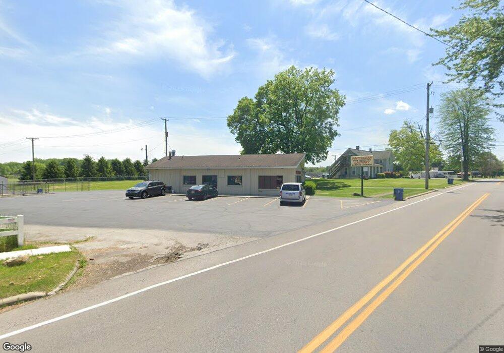
1011 Tiffin St Fremont, OH 43420
Estimated Value: $423,884
--
Bed
2
Baths
2,376
Sq Ft
$178/Sq Ft
Est. Value
About This Home
This home is located at 1011 Tiffin St, Fremont, OH 43420 and is currently estimated at $423,884, approximately $178 per square foot. 1011 Tiffin St is a home located in Sandusky County with nearby schools including Fremont Ross High School, Bishop Hoffman Catholic School - This is St Joe's School now, and St. Joseph School.
Ownership History
Date
Name
Owned For
Owner Type
Purchase Details
Closed on
Sep 28, 2010
Sold by
Ellenberger Wilson B
Bought by
Trac Properties Llc
Current Estimated Value
Purchase Details
Closed on
Aug 19, 2008
Sold by
Wilson Sharon and Ellenberger Alice Jean
Bought by
Trac Properties Llc
Home Financials for this Owner
Home Financials are based on the most recent Mortgage that was taken out on this home.
Original Mortgage
$85,000
Interest Rate
6.66%
Mortgage Type
Commercial
Create a Home Valuation Report for This Property
The Home Valuation Report is an in-depth analysis detailing your home's value as well as a comparison with similar homes in the area
Home Values in the Area
Average Home Value in this Area
Purchase History
| Date | Buyer | Sale Price | Title Company |
|---|---|---|---|
| Trac Properties Llc | -- | First American | |
| Trac Properties Llc | $200,000 | First American | |
| Trac Properties Llc | $162,500 | First American |
Source: Public Records
Mortgage History
| Date | Status | Borrower | Loan Amount |
|---|---|---|---|
| Previous Owner | Trac Properties Llc | $85,000 | |
| Previous Owner | Trac Properties Llc | $275,000 | |
| Previous Owner | Trac Properties Llc | $85,000 |
Source: Public Records
Tax History Compared to Growth
Tax History
| Year | Tax Paid | Tax Assessment Tax Assessment Total Assessment is a certain percentage of the fair market value that is determined by local assessors to be the total taxable value of land and additions on the property. | Land | Improvement |
|---|---|---|---|---|
| 2024 | $2,258 | $51,030 | $9,380 | $41,650 |
| 2023 | $2,258 | $46,410 | $8,540 | $37,870 |
| 2022 | $2,163 | $46,410 | $8,540 | $37,870 |
| 2021 | $2,217 | $46,410 | $8,540 | $37,870 |
| 2020 | $2,160 | $44,070 | $8,540 | $35,530 |
| 2019 | $2,150 | $44,070 | $8,540 | $35,530 |
| 2018 | $2,168 | $44,070 | $8,540 | $35,530 |
| 2017 | $2,149 | $44,070 | $8,540 | $35,530 |
| 2016 | $1,933 | $44,070 | $8,540 | $35,530 |
| 2015 | $1,909 | $44,070 | $8,540 | $35,530 |
| 2014 | $2,023 | $46,800 | $15,370 | $31,430 |
| 2013 | $1,983 | $46,800 | $15,370 | $31,430 |
Source: Public Records
Map
Nearby Homes
- 905 Twinn St
- 625 Bush Place
- 1013 Whittlesey St
- 815 South St
- 616 S Wood St
- 1028 June St
- 619 Hayes Ave
- 515 S Arch St
- 1015 Hayes Ave
- 1485 Autumn Woods Dr
- 880 Cleveland Ave
- 64 River Run Dr Unit J
- 64 River Run Dr
- 1342 Mcpherson Blvd
- 10 Meadowbrook Ln
- 135 Briarwood Cir
- 10 Meadowbrook Dr
- 1611 Mcpherson Blvd
- 600 S Buchanan St
- 0 S Buchanan St