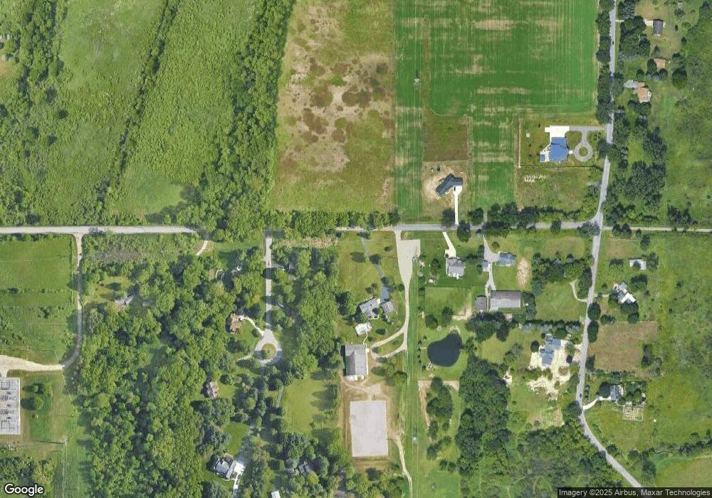
1011 Tihart Rd Okemos, MI 48864
Estimated Value: $760,000 - $957,380
4
Beds
4
Baths
4,104
Sq Ft
$216/Sq Ft
Est. Value
About This Home
This home is located at 1011 Tihart Rd, Okemos, MI 48864 and is currently estimated at $885,127, approximately $215 per square foot. 1011 Tihart Rd is a home located in Ingham County with nearby schools including Cornell Elementary School, Kinawa School, and Chippewa Middle School.
Ownership History
Date
Name
Owned For
Owner Type
Purchase Details
Closed on
Jul 23, 2021
Sold by
Eyde Kelly M
Bought by
1011 Tihart Llc
Current Estimated Value
Purchase Details
Closed on
Apr 3, 2021
Sold by
Olmsted Steven W and Olmsted Kathleen M
Bought by
Eyde Kelly M
Purchase Details
Closed on
Nov 30, 1994
Sold by
Augenstein Sue
Bought by
Olmsted Steven W and Olmsted Kathleen M
Create a Home Valuation Report for This Property
The Home Valuation Report is an in-depth analysis detailing your home's value as well as a comparison with similar homes in the area
Home Values in the Area
Average Home Value in this Area
Purchase History
| Date | Buyer | Sale Price | Title Company |
|---|---|---|---|
| 1011 Tihart Llc | -- | None Available | |
| Eyde Kelly M | $775,000 | Ata National Title Group Llc | |
| Olmsted Steven W | $170,000 | -- |
Source: Public Records
Tax History Compared to Growth
Tax History
| Year | Tax Paid | Tax Assessment Tax Assessment Total Assessment is a certain percentage of the fair market value that is determined by local assessors to be the total taxable value of land and additions on the property. | Land | Improvement |
|---|---|---|---|---|
| 2025 | $27,843 | $458,700 | $97,800 | $360,900 |
| 2024 | $127 | $419,000 | $76,800 | $342,200 |
| 2023 | $26,379 | $381,400 | $65,400 | $316,000 |
| 2022 | $25,183 | $357,200 | $58,900 | $298,300 |
| 2021 | $18,527 | $330,600 | $56,300 | $274,300 |
| 2020 | $13,558 | $310,700 | $56,300 | $254,400 |
| 2019 | $13,065 | $300,600 | $49,700 | $250,900 |
| 2018 | $12,501 | $271,500 | $49,700 | $221,800 |
| 2017 | $11,807 | $268,800 | $49,700 | $219,100 |
| 2016 | $5,307 | $265,100 | $49,700 | $215,400 |
| 2015 | $5,307 | $251,900 | $96,399 | $155,501 |
| 2014 | $5,307 | $238,200 | $96,399 | $141,801 |
Source: Public Records
Map
Nearby Homes
- 0 van Atta Rd
- 5396 van Atta Rd
- 4805 Cornell Rd
- 1058 Buckingham Rd
- 5560 Strawberry Ln
- 5614 Copper Creek Dr
- 1138 Cliffdale Dr
- 616 Titanium Trail
- The Newton Plan at Copper Creek
- The Maxwell Plan at Copper Creek
- The Hatfield Plan at Copper Creek
- The Mayberry Plan at Copper Creek
- The Norway Plan at Copper Creek
- The Woodbury Plan at Copper Creek
- The Mackinaw Plan at Copper Creek
- The Newcastle Plan at Copper Creek
- The Waverly Plan at Copper Creek
- The Nantucket Plan at Copper Creek
- The Marcel Plan at Copper Creek
- The Madison Plan at Copper Creek
- 5210 White Tail Cir
- 5210 Whitetail Cir
- 5214 White Tail Cir
- 5190 White Tail Cir
- 5205 White Tail Cir
- 5205 Whitetail Cir
- 957 Tihart Rd
- 5195 White Tail Cir
- 5213 White Tail Cir
- 5213 Whitetail Cir
- 5185 White Tail Cir
- 945 Tihart Rd
- 5215 van Atta Rd
- 954 Tihart Rd
- 950 Tihart Rd
- 5249 van Atta Rd
- 5455 van Atta Rd
- 5210 van Atta Rd
- 1113 Tihart Rd
- 942 Tihart Rd
