1011 Tomahawk Ct Unit 30 White Plains, GA 30678
Estimated Value: $225,000 - $1,374,000
--
Bed
--
Bath
--
Sq Ft
1.08
Acres
About This Home
This home is located at 1011 Tomahawk Ct Unit 30, White Plains, GA 30678 and is currently estimated at $615,626. 1011 Tomahawk Ct Unit 30 is a home located in Greene County with nearby schools including Greene County High School.
Ownership History
Date
Name
Owned For
Owner Type
Purchase Details
Closed on
Apr 24, 2020
Sold by
Advanta Ira Administration Llc Fbo
Bought by
Mclaren John Randon and Crochet Donald J
Current Estimated Value
Purchase Details
Closed on
Nov 7, 2019
Sold by
Advanta Ira Administration Llc Fbo
Bought by
Advanta Ira Administration Llc Fbo
Purchase Details
Closed on
Nov 1, 2016
Bought by
Advanta Ira Administration Llc and Blackwell Kenneth L Ira
Purchase Details
Closed on
Apr 17, 2002
Sold by
Case Patricia L and John P---
Bought by
Mid Ohio Securities Corp--
Purchase Details
Closed on
Dec 4, 1997
Sold by
Ivie William and Ivie Betty R
Bought by
Case Patricia L and John P---
Purchase Details
Closed on
Jan 1, 1988
Sold by
Lassiter Properties Inc
Bought by
Ivie William and Ivie Betty R
Purchase Details
Closed on
Sep 6, 1983
Bought by
Lassiter Properties Inc
Create a Home Valuation Report for This Property
The Home Valuation Report is an in-depth analysis detailing your home's value as well as a comparison with similar homes in the area
Home Values in the Area
Average Home Value in this Area
Purchase History
| Date | Buyer | Sale Price | Title Company |
|---|---|---|---|
| Mclaren John Randon | $47,500 | -- | |
| Advanta Ira Administration Llc Fbo | -- | -- | |
| Advanta Ira Administration Llc | -- | -- | |
| Mid Ohio Securities Corp-- | $85,000 | -- | |
| Case Patricia L | $50,000 | -- | |
| Ivie William | -- | -- | |
| Lassiter Properties Inc | $300,000 | -- |
Source: Public Records
Tax History Compared to Growth
Tax History
| Year | Tax Paid | Tax Assessment Tax Assessment Total Assessment is a certain percentage of the fair market value that is determined by local assessors to be the total taxable value of land and additions on the property. | Land | Improvement |
|---|---|---|---|---|
| 2024 | $992 | $62,760 | $60,000 | $2,760 |
| 2023 | $847 | $62,760 | $60,000 | $2,760 |
| 2022 | $1,237 | $69,320 | $64,000 | $5,320 |
| 2021 | $379 | $65,320 | $60,000 | $5,320 |
| 2020 | $1,943 | $92,720 | $87,480 | $5,240 |
| 2019 | $2,002 | $92,720 | $87,480 | $5,240 |
| 2018 | $2,005 | $92,720 | $87,480 | $5,240 |
| 2017 | $1,876 | $92,736 | $87,480 | $5,256 |
| 2016 | $1,876 | $92,736 | $87,480 | $5,256 |
| 2015 | $1,855 | $92,735 | $87,480 | $5,256 |
| 2014 | $1,894 | $92,711 | $87,480 | $5,231 |
Source: Public Records
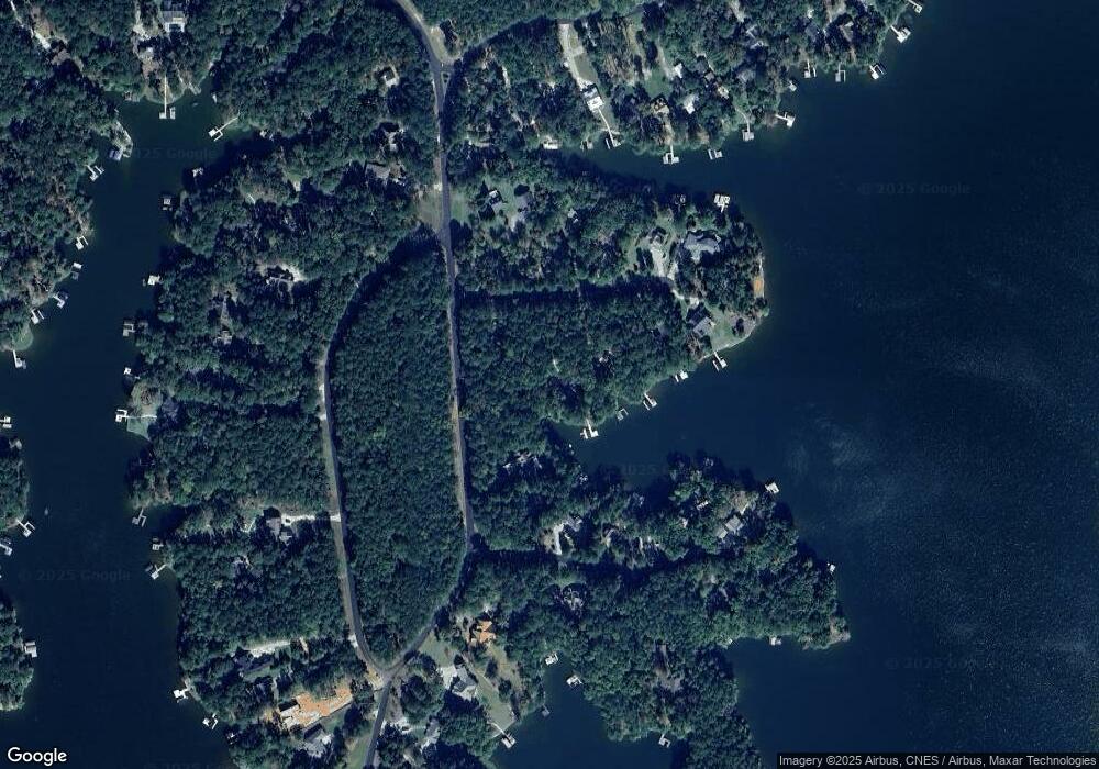
Map
Nearby Homes
- 1250 Cherokee Trail
- 1321 Clearwater Ln
- Lot 45 Oconee Landing Dr
- lot 44 Oconee Landing Dr
- Lot 43 1030 Bay View Ct
- 1691 White Oak Dr
- 1061 Clearwater Dr
- 1511 White Oak Dr
- 1041 Emerald Shores Dr
- 1271 Howard Lewis Rd
- 1010 Emerald Shores Dr
- 2001 Flat Rock Church Rd
- 1953 Flat Rock Church Rd
- 1889 Flat Rock Church Rd
- 1809 Flat Rock Church Rd
- 2127 Flat Rock Church Rd
- 1011 Tomahawk Ct
- 1240 Cherokee Trail
- 1021 Tomahawk Ct
- 0 Tomahawk Ct Unit 3290421
- 0 Tomahawk Ct Unit 8384821
- 0 Tomahawk Ct Unit 3273900
- 0 Tomahawk Ct Unit 8279701
- 1031 Tomahawk Ct
- 1031 Tomahawk Ct
- 1031 Tomahawk Ct Unit 28
- 1041 Tomahawk Ct Unit 27
- 1041 Tomahawk Ct
- 0 Cherokee Trail Unit 8497394
- 0 Cherokee Trail Unit 8010850
- 0 Cherokee Trail Unit 7536760
- 0 Cherokee Trail Unit 8988487
- 0 Cherokee Trail Unit 9027861
- 0 Cherokee Trail Unit 8802870
- 0 Cherokee Trail Unit 8833792
- 0 Cherokee Trail Unit 8529150