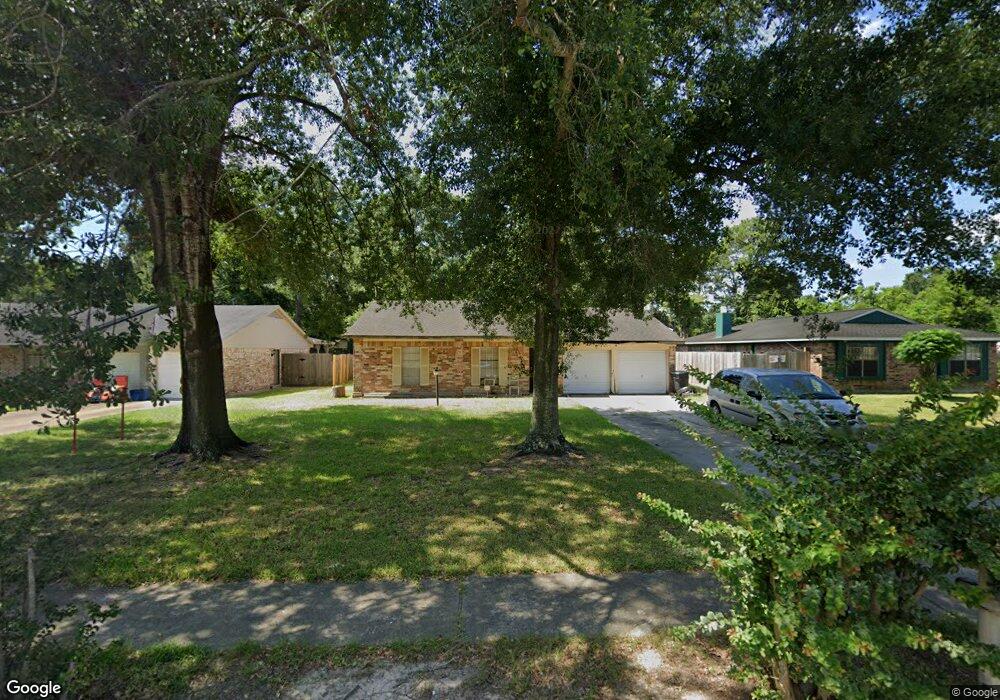
1011 W Bertrand St Houston, TX 77088
Hidden Valley NeighborhoodEstimated Value: $212,000 - $240,000
3
Beds
2
Baths
1,474
Sq Ft
$154/Sq Ft
Est. Value
About This Home
This home is located at 1011 W Bertrand St, Houston, TX 77088 and is currently estimated at $226,509, approximately $153 per square foot. 1011 W Bertrand St is a home located in Harris County with nearby schools including Jerry Keeble Ec/Pre-K, Goodman Elementary School, and Aldine Ninth Grade School.
Ownership History
Date
Name
Owned For
Owner Type
Purchase Details
Closed on
Mar 7, 2019
Sold by
Follis J
Bought by
Lasalle Bank National Ass Ociation and Lehman Brothers-Structure D Asset Inve
Current Estimated Value
Home Financials for this Owner
Home Financials are based on the most recent Mortgage that was taken out on this home.
Interest Rate
4.41%
Purchase Details
Closed on
May 6, 2008
Sold by
Martin Alvin
Bought by
Lasalle Bank Na and Lehman Brothers Structured Asset Investm
Purchase Details
Closed on
Apr 27, 2004
Sold by
Le Vinh
Bought by
Martin Alvin
Home Financials for this Owner
Home Financials are based on the most recent Mortgage that was taken out on this home.
Original Mortgage
$113,200
Interest Rate
5.38%
Mortgage Type
Purchase Money Mortgage
Create a Home Valuation Report for This Property
The Home Valuation Report is an in-depth analysis detailing your home's value as well as a comparison with similar homes in the area
Home Values in the Area
Average Home Value in this Area
Purchase History
| Date | Buyer | Sale Price | Title Company |
|---|---|---|---|
| Lasalle Bank National Ass Ociation | -- | -- | |
| Lasalle Bank Na | $73,865 | None Available | |
| Martin Alvin | -- | Stewart Title Houston Divisi |
Source: Public Records
Mortgage History
| Date | Status | Borrower | Loan Amount |
|---|---|---|---|
| Closed | Lasalle Bank National Ass Ociation | -- | |
| Previous Owner | Martin Alvin | $113,200 |
Source: Public Records
Tax History Compared to Growth
Tax History
| Year | Tax Paid | Tax Assessment Tax Assessment Total Assessment is a certain percentage of the fair market value that is determined by local assessors to be the total taxable value of land and additions on the property. | Land | Improvement |
|---|---|---|---|---|
| 2025 | $5,737 | $260,750 | $64,698 | $196,052 |
| 2024 | $5,737 | $252,804 | $46,213 | $206,591 |
| 2023 | $5,737 | $262,562 | $46,213 | $216,349 |
| 2022 | $5,043 | $210,248 | $40,185 | $170,063 |
| 2021 | $4,704 | $187,266 | $22,102 | $165,164 |
| 2020 | $4,943 | $187,266 | $22,102 | $165,164 |
| 2019 | $3,857 | $139,367 | $22,102 | $117,265 |
| 2018 | $1,917 | $133,530 | $22,102 | $111,428 |
| 2017 | $3,268 | $123,180 | $22,102 | $101,078 |
| 2016 | $3,268 | $123,180 | $22,102 | $101,078 |
| 2015 | $2,433 | $110,854 | $22,102 | $88,752 |
| 2014 | $2,433 | $91,420 | $22,102 | $69,318 |
Source: Public Records
Map
Nearby Homes
- 954 W Bertrand St
- 8718 Glen Shadow Dr
- 1314 Tarberry Rd
- 9006 Winding River Dr
- 9018 Lazy River Ln
- 9022 Indian River Dr
- 1307 Saddle Rock Dr
- 0 Grenshaw
- 0 Marcolin St
- 8615 Citation Ct
- 8602 De Priest St
- 1559 Diplomat Way
- 958 Conklin St
- 0 Marjorie
- 905 Ferguson Way
- 907 Ferguson Way
- 1054 Dewalt St
- 769 Marjorie St
- 8314 De Priest St
- 1028 Marcolin St
- 1007 W Bertrand St
- 1015 W Bertrand St
- 1003 W Bertrand St
- 1019 W Bertrand St
- 967 W Bertrand St
- 1023 W Bertrand St
- 1010 W Bertrand St
- 1006 W Bertrand St
- 1014 W Bertrand St
- 963 W Bertrand St
- 1002 W Bertrand St
- 1022 W Bertrand St
- 8703 Glen Shadow Dr
- 959 W Bertrand St
- 1007 W Mierianne St
- 8702 Glen Shadow Dr
- 1011 W Mierianne St
- 8610 Whitecastle Ln
- 958 W Bertrand St
- 8614 Whitecastle Ln