1011 Wahl Ln S Salem, OR 97306
Salem Hills NeighborhoodEstimated Value: $676,881 - $786,000
4
Beds
3
Baths
2,744
Sq Ft
$265/Sq Ft
Est. Value
About This Home
This home is located at 1011 Wahl Ln S, Salem, OR 97306 and is currently estimated at $727,470, approximately $265 per square foot. 1011 Wahl Ln S is a home located in Marion County with nearby schools including Sumpter Elementary School, Crossler Middle School, and Sprague High School.
Ownership History
Date
Name
Owned For
Owner Type
Purchase Details
Closed on
Aug 2, 2024
Sold by
Ostrand-Ponsioen Cathy N
Bought by
Ponsioen Paul A
Current Estimated Value
Home Financials for this Owner
Home Financials are based on the most recent Mortgage that was taken out on this home.
Original Mortgage
$520,000
Outstanding Balance
$514,104
Interest Rate
6.86%
Mortgage Type
New Conventional
Estimated Equity
$213,366
Purchase Details
Closed on
Mar 3, 2009
Sold by
Washington Federal Savings
Bought by
Ostrand Ponsioen Cathy N and Ponsioen Paul A
Home Financials for this Owner
Home Financials are based on the most recent Mortgage that was taken out on this home.
Original Mortgage
$242,550
Interest Rate
5.08%
Mortgage Type
Unknown
Create a Home Valuation Report for This Property
The Home Valuation Report is an in-depth analysis detailing your home's value as well as a comparison with similar homes in the area
Home Values in the Area
Average Home Value in this Area
Purchase History
| Date | Buyer | Sale Price | Title Company |
|---|---|---|---|
| Ponsioen Paul A | $458,594 | First American Title | |
| Ostrand Ponsioen Cathy N | $315,000 | Fidelity Natl Title Co Of Or |
Source: Public Records
Mortgage History
| Date | Status | Borrower | Loan Amount |
|---|---|---|---|
| Open | Ponsioen Paul A | $520,000 | |
| Previous Owner | Ostrand Ponsioen Cathy N | $242,550 |
Source: Public Records
Tax History Compared to Growth
Tax History
| Year | Tax Paid | Tax Assessment Tax Assessment Total Assessment is a certain percentage of the fair market value that is determined by local assessors to be the total taxable value of land and additions on the property. | Land | Improvement |
|---|---|---|---|---|
| 2024 | $4,858 | $382,790 | -- | -- |
| 2023 | $4,741 | $371,650 | $0 | $0 |
| 2022 | $4,486 | $360,830 | $0 | $0 |
| 2021 | $4,369 | $350,330 | $0 | $0 |
| 2020 | $2,409 | $340,130 | $0 | $0 |
| 2019 | $2,316 | $330,230 | $0 | $0 |
| 2018 | $4,169 | $0 | $0 | $0 |
| 2017 | $3,653 | $0 | $0 | $0 |
| 2016 | $3,486 | $0 | $0 | $0 |
| 2015 | $3,583 | $0 | $0 | $0 |
| 2014 | $3,425 | $0 | $0 | $0 |
Source: Public Records
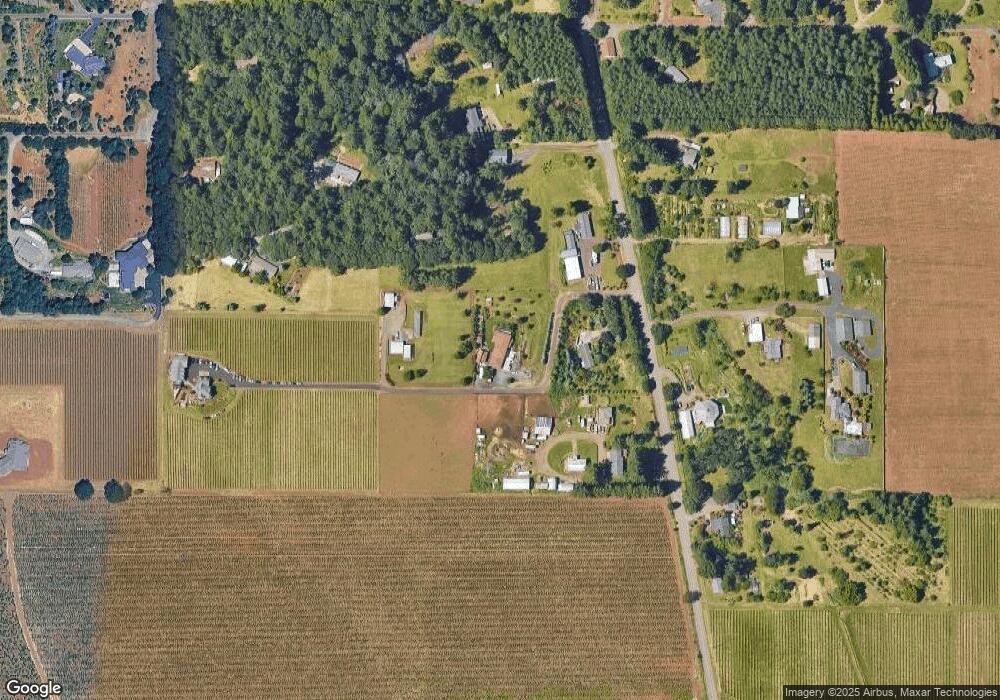
Map
Nearby Homes
- 1551 Bunker Hill Rd S
- 1962 Bunker Hill Rd S
- 2025 Cole Rd S
- 7244 Bates Rd S
- 555 Misty Hill Ln SE
- 2554 Cole Rd S
- 150 Rees Hill Rd SE
- 2721 Concomly Rd S
- 725 Jordan Elizabeth Ave SE
- 6615 Elmhurst Ave S
- 6663 Naomi Danielle St SE
- 6675 Naomi Danielle St SE
- 6699 Naomi Danielle St SE
- 735 Jordan Elizabeth Ave SE
- 150 Muirfield Ave SE
- 162 Muirfield Ave SE
- 3154 Kwonesum Ct S
- 617 Sahalee Dr SE
- 7002 Rainbow Dr SE
- 635 Sahalee Ct SE
- 1021 Wahl Ln S
- 7861 Liberty Rd S
- 7971 Liberty Rd S
- 7851 Liberty Rd S
- 7991 Liberty Rd S
- 7972 Liberty Rd S
- 7811 Liberty Rd S
- 1455 Forest Ln S
- 1455 Forest Ln S
- 1426 Forest Ln S
- 8032 Liberty Rd S
- 7781 Liberty Rd S
- 128 Phoenix Ave SE
- 7900 Liberty Rd S
- 135 Lynx Ln SE
- 7856 Twin Fir Ln S
- 137 Phoenix Ave SE
- 1051 Annie Ln S
- 1061 Annie Ln S
- 1620 Marquette Ln S