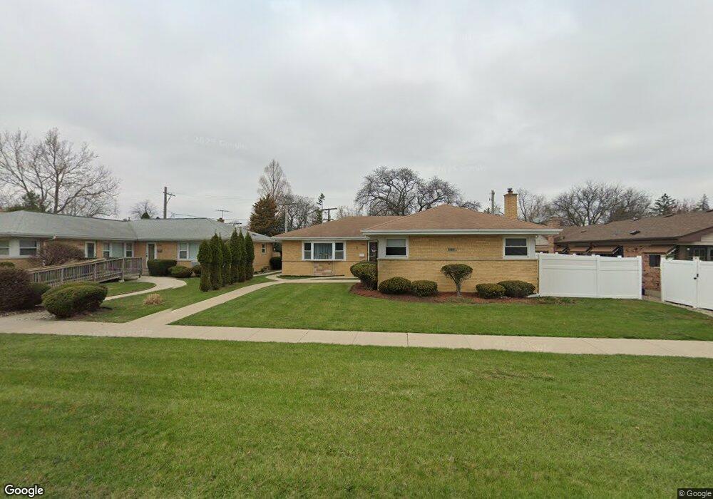
10110 W Cermak Rd Westchester, IL 60154
Estimated Value: $215,000 - $504,000
4
Beds
3
Baths
2,190
Sq Ft
$179/Sq Ft
Est. Value
About This Home
This home is located at 10110 W Cermak Rd, Westchester, IL 60154 and is currently estimated at $392,946, approximately $179 per square foot. 10110 W Cermak Rd is a home located in Cook County with nearby schools including Westchester Primary School, Westchester Intermediate School, and Westchester Middle School.
Ownership History
Date
Name
Owned For
Owner Type
Purchase Details
Closed on
Jun 13, 2013
Sold by
Chicago Title Land Trust Co
Bought by
Venegas Christina
Current Estimated Value
Home Financials for this Owner
Home Financials are based on the most recent Mortgage that was taken out on this home.
Original Mortgage
$272,473
Interest Rate
4.49%
Mortgage Type
FHA
Create a Home Valuation Report for This Property
The Home Valuation Report is an in-depth analysis detailing your home's value as well as a comparison with similar homes in the area
Home Values in the Area
Average Home Value in this Area
Purchase History
| Date | Buyer | Sale Price | Title Company |
|---|---|---|---|
| Venegas Christina | $277,500 | None Available |
Source: Public Records
Mortgage History
| Date | Status | Borrower | Loan Amount |
|---|---|---|---|
| Previous Owner | Venegas Christina | $272,473 |
Source: Public Records
Tax History Compared to Growth
Tax History
| Year | Tax Paid | Tax Assessment Tax Assessment Total Assessment is a certain percentage of the fair market value that is determined by local assessors to be the total taxable value of land and additions on the property. | Land | Improvement |
|---|---|---|---|---|
| 2024 | $9,226 | $41,124 | $4,593 | $36,531 |
| 2023 | $8,540 | $41,124 | $4,593 | $36,531 |
| 2022 | $8,540 | $34,148 | $3,937 | $30,211 |
| 2021 | $8,314 | $34,147 | $3,937 | $30,210 |
| 2020 | $8,241 | $34,147 | $3,937 | $30,210 |
| 2019 | $7,840 | $33,924 | $3,609 | $30,315 |
| 2018 | $7,734 | $33,924 | $3,609 | $30,315 |
| 2017 | $8,354 | $33,924 | $3,609 | $30,315 |
| 2016 | $8,237 | $28,243 | $3,281 | $24,962 |
| 2015 | $6,837 | $28,243 | $3,281 | $24,962 |
| 2014 | $6,705 | $28,243 | $3,281 | $24,962 |
| 2013 | $7,946 | $31,609 | $3,281 | $28,328 |
Source: Public Records
Map
Nearby Homes
- 1919 Suffolk Ave
- 1847 Newcastle Ave
- 1907 Suffolk Ave
- 1900 Manchester Ave
- 1803 Balmoral Ave
- 213 Pine Tree Ln
- 4 Garden Dr Unit 4
- 205 Huntington Ct
- 1540 Norfolk Ave
- 10301 Chaucer St
- 10511 Preston St
- 10630 W Cermak Rd Unit 2E
- 10610 Essex St
- 1860 Buckingham Ave
- 1406 Portsmouth Ave
- 10567 Waterford Dr
- 1811 Downing Ave
- 1427 Homestead Rd Unit H
- 1427 Homestead Rd Unit F
- 2623 Sunnyside Ave
- 10114 W Cermak Rd
- 2150 Newcastle Ave
- 2150 Newcastle Ave
- 2140 Newcastle Ave
- 2151 Hull Ave
- 2155 Hull Ave
- 10148 W Cermak Rd
- 2147 Hull Ave
- 2141 Hull Ave
- 2136 Newcastle Ave
- 2151 Newcastle Ave
- 2132 Newcastle Ave
- 2129 Hull Ave
- 2124 Newcastle Ave
- 2139 Newcastle Ave
- 2140 Hull Ave
- 2135 Newcastle Ave
- 10044 W Cermak Rd
- 10044 W Cermak Rd
- 2123 Hull Ave