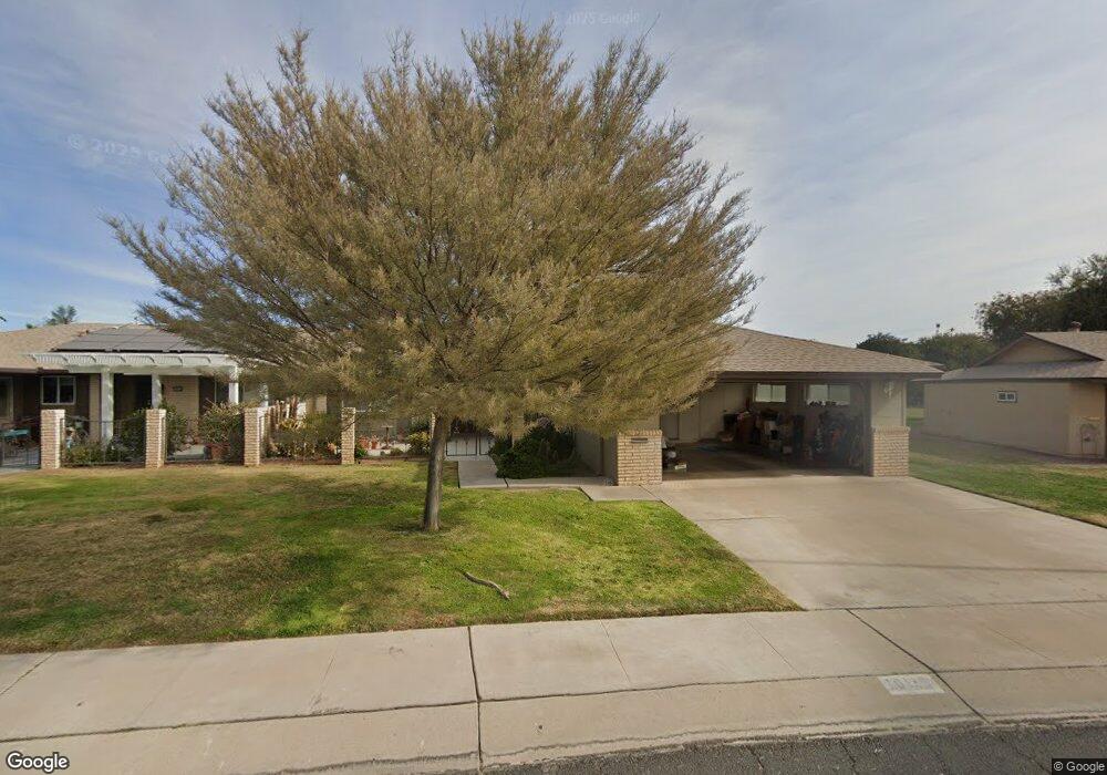
10110 W Royal Oak Rd Unit 17 Sun City, AZ 85351
Estimated Value: $233,842 - $290,000
--
Bed
2
Baths
1,636
Sq Ft
$165/Sq Ft
Est. Value
About This Home
This home is located at 10110 W Royal Oak Rd Unit 17, Sun City, AZ 85351 and is currently estimated at $269,461, approximately $164 per square foot. 10110 W Royal Oak Rd Unit 17 is a home located in Maricopa County with nearby schools including Desert Mirage Elementary School, Ombudsman - Northwest Charter, and Peoria Accelerated High School.
Ownership History
Date
Name
Owned For
Owner Type
Purchase Details
Closed on
Aug 25, 2009
Sold by
Heisner Philip
Bought by
Heisner Philip S and Philip S Heisner & Mary Jane Heisner Rev
Current Estimated Value
Purchase Details
Closed on
Feb 18, 2005
Sold by
Coerper Thomas H and Murray Rita A
Bought by
Heisner Philip and Heisner Mary Jane
Purchase Details
Closed on
Oct 30, 2002
Sold by
Coerper Thomas H and Murray Rita A
Bought by
Coerper Thomas H and Murray Rita A
Purchase Details
Closed on
Aug 12, 2002
Sold by
Miller Mildred D
Bought by
Coerper Thomas H and Murray Rita A
Create a Home Valuation Report for This Property
The Home Valuation Report is an in-depth analysis detailing your home's value as well as a comparison with similar homes in the area
Home Values in the Area
Average Home Value in this Area
Purchase History
| Date | Buyer | Sale Price | Title Company |
|---|---|---|---|
| Heisner Philip S | -- | None Available | |
| Heisner Philip | $153,000 | Fidelity National Title | |
| Coerper Thomas H | -- | -- | |
| Coerper Thomas H | $88,000 | First American Title Ins Co |
Source: Public Records
Tax History Compared to Growth
Tax History
| Year | Tax Paid | Tax Assessment Tax Assessment Total Assessment is a certain percentage of the fair market value that is determined by local assessors to be the total taxable value of land and additions on the property. | Land | Improvement |
|---|---|---|---|---|
| 2025 | $967 | $11,972 | -- | -- |
| 2024 | $872 | $11,402 | -- | -- |
| 2023 | $872 | $19,960 | $3,990 | $15,970 |
| 2022 | $821 | $17,330 | $3,460 | $13,870 |
| 2021 | $848 | $15,700 | $3,140 | $12,560 |
| 2020 | $825 | $13,980 | $2,790 | $11,190 |
| 2019 | $814 | $13,380 | $2,670 | $10,710 |
| 2018 | $784 | $11,830 | $2,360 | $9,470 |
| 2017 | $757 | $10,370 | $2,070 | $8,300 |
| 2016 | $398 | $8,530 | $1,700 | $6,830 |
| 2015 | $678 | $8,250 | $1,650 | $6,600 |
Source: Public Records
Map
Nearby Homes
- 10114 W Candlewood Dr
- 10114 W Royal Oak Rd Unit 20
- 13410 N Cedar Dr Unit 20
- 10127 W Forrester Dr
- 10137 W Forrester Dr Unit 20
- 10134 W Forrester Dr
- 10225 W Thunderbird Blvd
- 10112 W Forrester Dr
- 10040 W Royal Oak Rd Unit B
- 10040 W Royal Oak Rd Unit H
- 10030 W Royal Oak Rd Unit C
- 13620 N Hawthorn Dr
- 13614 N Hawthorn Dr
- 13442 N Emberwood Dr
- 10229 W Bolivar Dr
- 13067 N 100th Dr
- 13433 N Emberwood Dr
- 13071 N 100th Dr
- 13636 N Redwood Dr Unit 203
- 13606 N Redwood Dr Unit 209
- 10112 W Royal Oak Rd Unit 20
- 10108 W Royal Oak Rd
- 10115 W Candlewood Dr
- 10109 W Candlewood Dr Unit 44
- 10106 W Royal Oak Rd Unit 20
- 10117 W Candlewood Dr Unit 20
- 10109 W Royal Oak Rd Unit 9
- 10107 W Royal Oak Rd
- 10107 W Candlewood Dr
- 10116 W Royal Oak Rd
- 10116 W Royal Oak Rd Unit 20
- 10113 W Royal Oak Rd
- 10121 W Candlewood Dr
- 10104 W Royal Oak Rd Unit 20
- 10105 W Candlewood Dr Unit 46
- 10123 W Candlewood Dr
- 10117 W Royal Oak Rd Unit 7
- 10103 W Royal Oak Rd
- 10103 W Candlewood Dr
- 10102 W Royal Oak Rd