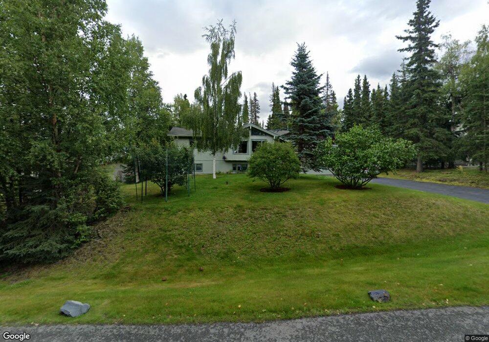
10111 Lone Tree Dr Anchorage, AK 99507
Mid-Hillside NeighborhoodEstimated Value: $516,000 - $663,000
4
Beds
3
Baths
2,236
Sq Ft
$268/Sq Ft
Est. Value
About This Home
This home is located at 10111 Lone Tree Dr, Anchorage, AK 99507 and is currently estimated at $599,414, approximately $268 per square foot. 10111 Lone Tree Dr is a home located in Anchorage Municipality with nearby schools including O'Malley Elementary School, Hanshew Middle School, and Service High School.
Ownership History
Date
Name
Owned For
Owner Type
Purchase Details
Closed on
Nov 16, 2000
Sold by
Clements Sterling W and Clements Nancy I
Bought by
Christman David A and Christman Nancy M
Current Estimated Value
Home Financials for this Owner
Home Financials are based on the most recent Mortgage that was taken out on this home.
Original Mortgage
$170,000
Outstanding Balance
$62,373
Interest Rate
7.82%
Mortgage Type
New Conventional
Estimated Equity
$537,041
Purchase Details
Closed on
Sep 15, 1997
Sold by
Hanlon Joseph A
Bought by
Clements Sterling W and Clements Nancy I
Create a Home Valuation Report for This Property
The Home Valuation Report is an in-depth analysis detailing your home's value as well as a comparison with similar homes in the area
Home Values in the Area
Average Home Value in this Area
Purchase History
| Date | Buyer | Sale Price | Title Company |
|---|---|---|---|
| Christman David A | -- | -- | |
| Clements Sterling W | -- | -- | |
| Clements Sterling W | -- | -- |
Source: Public Records
Mortgage History
| Date | Status | Borrower | Loan Amount |
|---|---|---|---|
| Open | Christman David A | $170,000 | |
| Closed | Clements Sterling W | $0 |
Source: Public Records
Tax History
| Year | Tax Paid | Tax Assessment Tax Assessment Total Assessment is a certain percentage of the fair market value that is determined by local assessors to be the total taxable value of land and additions on the property. | Land | Improvement |
|---|---|---|---|---|
| 2025 | $3,644 | $507,100 | $123,000 | $384,100 |
| 2024 | $3,644 | $468,200 | $117,200 | $351,000 |
| 2023 | $2,972 | $416,100 | $112,600 | $303,500 |
| 2022 | $3,330 | $412,100 | $112,600 | $299,500 |
| 2021 | $6,500 | $385,300 | $112,600 | $272,700 |
| 2020 | $2,370 | $370,800 | $112,600 | $258,200 |
| 2019 | $2,662 | $375,700 | $112,600 | $263,100 |
| 2018 | $4,851 | $370,400 | $127,700 | $242,700 |
| 2017 | $5,375 | $382,200 | $127,700 | $254,500 |
| 2016 | $4,329 | $384,500 | $127,700 | $256,800 |
| 2015 | $4,329 | $361,400 | $114,400 | $247,000 |
| 2014 | $4,329 | $337,900 | $99,300 | $238,600 |
Source: Public Records
Map
Nearby Homes
- 6324 Red Tree Cir
- 6770 Round Tree Dr
- 6815 Double Tree Ct
- 6130 Summit St
- 000 Valley View Dr
- 0 Rd
- 7509 Beacon Hill Dr
- L2 Totem Rd
- L5 Panorama Dr
- L7 Panorama Dr
- L13 Panorama Dr
- L3 Panorama Dr
- L1 Panorama Dr
- L9 Panorama Dr
- L6 Panorama Dr
- L2 Panorama Dr
- 9400 Spring Hill Dr
- 0000 E 113th Ave
- 112 Chelsea St
- Lt 87 Carlson Rd
- 10121 Lone Tree Dr
- 10101 Lone Tree Dr
- 10201 Lone Tree Dr
- 6304 Red Tree Cir
- 6242 Green Tree Cir
- 10100 Lone Tree Dr
- 6403 Lone Tree Cir
- 10020 Lone Tree Dr
- 10211 Lone Tree Dr
- 6243 Green Tree Cir
- 6334 Red Tree Cir
- 10210 Lone Tree Dr
- 6423 Lone Tree Cir
- 10001 Lone Tree Dr
- 6222 Green Tree Cir
- 6315 Red Tree Cir
- 6335 Red Tree Cir
- 6325 Red Tree Cir
- 10181 Craig Creek Cir
- 10000 Lone Tree Dr
Your Personal Tour Guide
Ask me questions while you tour the home.