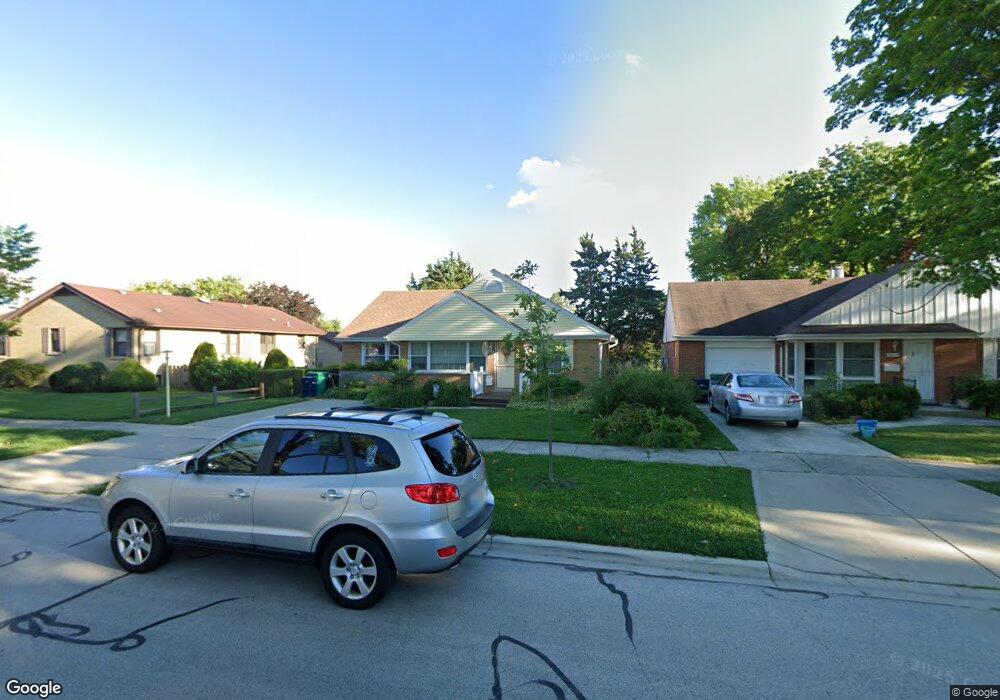
10111 The Strand Westchester, IL 60154
Estimated Value: $279,458 - $326,000
3
Beds
2
Baths
1,039
Sq Ft
$289/Sq Ft
Est. Value
About This Home
This home is located at 10111 The Strand, Westchester, IL 60154 and is currently estimated at $300,615, approximately $289 per square foot. 10111 The Strand is a home located in Cook County with nearby schools including Westchester Primary School, Westchester Intermediate School, and Westchester Middle School.
Ownership History
Date
Name
Owned For
Owner Type
Purchase Details
Closed on
Mar 14, 2020
Sold by
Hansa Margaret A
Bought by
Chicago Title Land Trust Company and Trust Number 5388
Current Estimated Value
Purchase Details
Closed on
Oct 11, 2019
Sold by
Chicago Title Land Trust Company
Bought by
Hansa Margaret A
Home Financials for this Owner
Home Financials are based on the most recent Mortgage that was taken out on this home.
Original Mortgage
$135,000
Interest Rate
3.5%
Mortgage Type
New Conventional
Create a Home Valuation Report for This Property
The Home Valuation Report is an in-depth analysis detailing your home's value as well as a comparison with similar homes in the area
Home Values in the Area
Average Home Value in this Area
Purchase History
| Date | Buyer | Sale Price | Title Company |
|---|---|---|---|
| Chicago Title Land Trust Company | -- | Chicago Title | |
| Hansa Margaret A | -- | Proper Title Llc |
Source: Public Records
Mortgage History
| Date | Status | Borrower | Loan Amount |
|---|---|---|---|
| Previous Owner | Hansa Margaret A | $135,000 |
Source: Public Records
Tax History Compared to Growth
Tax History
| Year | Tax Paid | Tax Assessment Tax Assessment Total Assessment is a certain percentage of the fair market value that is determined by local assessors to be the total taxable value of land and additions on the property. | Land | Improvement |
|---|---|---|---|---|
| 2024 | $3,420 | $19,001 | $3,438 | $15,563 |
| 2023 | $2,984 | $19,001 | $3,438 | $15,563 |
| 2022 | $2,984 | $15,938 | $3,025 | $12,913 |
| 2021 | $2,227 | $15,938 | $3,025 | $12,913 |
| 2020 | $3,703 | $15,938 | $3,025 | $12,913 |
| 2019 | $2,969 | $13,938 | $2,750 | $11,188 |
| 2018 | $2,928 | $13,938 | $2,750 | $11,188 |
| 2017 | $2,888 | $13,938 | $2,750 | $11,188 |
| 2016 | $2,919 | $12,506 | $2,475 | $10,031 |
| 2015 | $2,845 | $12,506 | $2,475 | $10,031 |
| 2014 | $2,795 | $12,506 | $2,475 | $10,031 |
| 2013 | $2,883 | $14,097 | $2,475 | $11,622 |
Source: Public Records
Map
Nearby Homes
- 1119 Newcastle Ave
- 10072 Drury Ln
- 920 Suffolk Ave
- 814 Norfolk Ave
- 1247 S Mannheim Rd Unit 3
- 923 Manchester Ave
- 805 Norfolk Ave
- 723 Balmoral Ave
- 750 Bristol Ave
- 626 Manchester Ave
- 1136 Park Place
- 1500 Bristol Ave
- 10524 Camelot St
- 1102 Marshall Ave
- 10531 Camelot St
- 1035 Bohland Ave
- 1108 31st Ave
- 1102 31st Ave
- 1623 Manchester Ave
- 1601 Bristol Ave
- 10115 The Strand
- 10121 The Strand
- 10121 The Strand
- 10121 The Strand
- 1140 Newcastle Ave
- 1140 Newcastle Ave
- 10121 Strand Ave
- 1128 Newcastle Ave
- 1127 Hull Ave
- 1127 Hull Ave
- 10127 The Strand
- 1124 Newcastle Ave
- 10133 The Strand
- 10133 The Strand
- 1143 Newcastle Ave
- 1123 Hull Ave
- 1118 Newcastle Ave
- 1115 Hull Ave
- 1115 Hull Ave
- 1131 Newcastle Ave