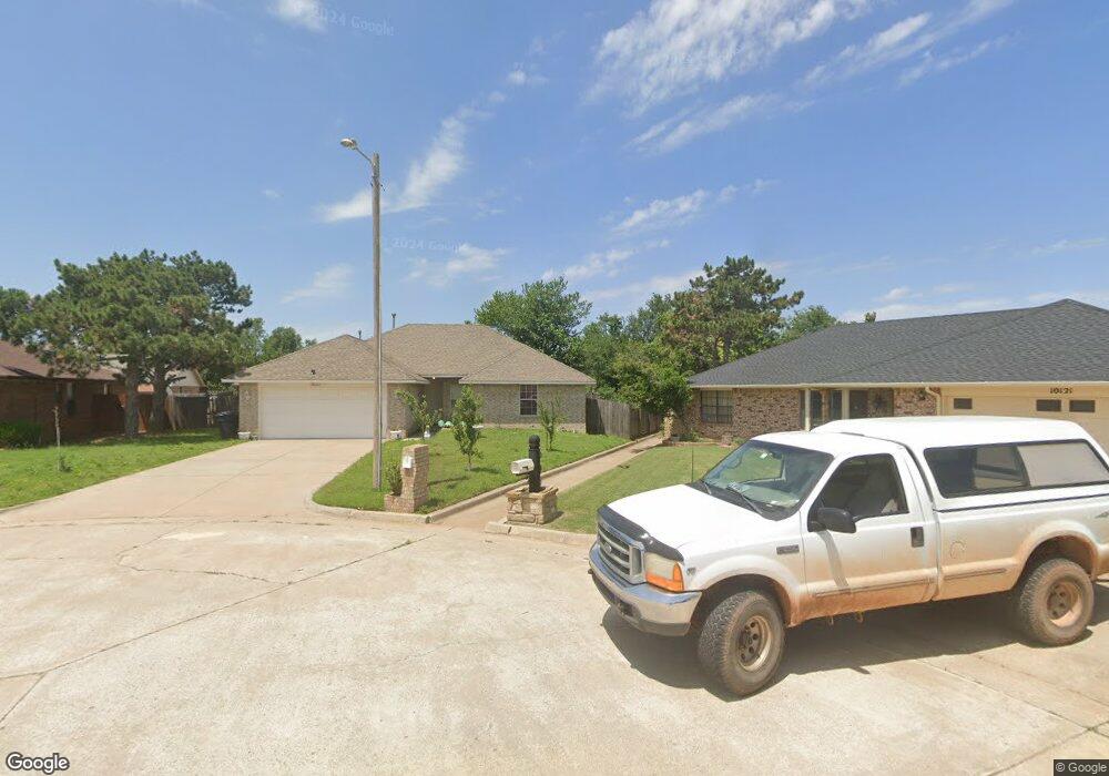
10117 Albert Ln Yukon, OK 73099
Harvest Hills West NeighborhoodEstimated Value: $205,000 - $238,000
3
Beds
2
Baths
1,357
Sq Ft
$164/Sq Ft
Est. Value
About This Home
This home is located at 10117 Albert Ln, Yukon, OK 73099 and is currently estimated at $223,188, approximately $164 per square foot. 10117 Albert Ln is a home located in Canadian County with nearby schools including Surrey Hills Elementary School, Redstone Intermediate School, and Yukon Middle School.
Ownership History
Date
Name
Owned For
Owner Type
Purchase Details
Closed on
Jun 2, 2003
Sold by
Lowery Homes
Bought by
Downs Cecilia
Current Estimated Value
Home Financials for this Owner
Home Financials are based on the most recent Mortgage that was taken out on this home.
Original Mortgage
$94,000
Outstanding Balance
$40,519
Interest Rate
5.56%
Estimated Equity
$182,669
Purchase Details
Closed on
Jul 23, 2001
Sold by
Beard Mark Thomas and Beard Tammy J
Purchase Details
Closed on
Jul 31, 2000
Sold by
Al Lowery Inc
Purchase Details
Closed on
Sep 18, 1997
Sold by
Al Lowery Inc
Create a Home Valuation Report for This Property
The Home Valuation Report is an in-depth analysis detailing your home's value as well as a comparison with similar homes in the area
Home Values in the Area
Average Home Value in this Area
Purchase History
| Date | Buyer | Sale Price | Title Company |
|---|---|---|---|
| Downs Cecilia | $95,000 | -- | |
| -- | -- | -- | |
| -- | -- | -- | |
| -- | -- | -- | |
| -- | -- | -- | |
| -- | $30,000 | -- |
Source: Public Records
Mortgage History
| Date | Status | Borrower | Loan Amount |
|---|---|---|---|
| Open | -- | $94,000 |
Source: Public Records
Tax History Compared to Growth
Tax History
| Year | Tax Paid | Tax Assessment Tax Assessment Total Assessment is a certain percentage of the fair market value that is determined by local assessors to be the total taxable value of land and additions on the property. | Land | Improvement |
|---|---|---|---|---|
| 2024 | $2,038 | $18,461 | $2,160 | $16,301 |
| 2023 | $2,038 | $17,924 | $2,160 | $15,764 |
| 2022 | $1,987 | $17,402 | $2,160 | $15,242 |
| 2021 | $1,915 | $16,895 | $2,160 | $14,735 |
| 2020 | $1,841 | $16,403 | $2,160 | $14,243 |
| 2019 | $1,819 | $16,211 | $1,998 | $14,213 |
| 2018 | $1,764 | $15,739 | $1,965 | $13,774 |
| 2017 | $1,702 | $15,280 | $1,911 | $13,369 |
| 2016 | $1,645 | $15,280 | $1,935 | $13,345 |
| 2015 | $1,550 | $14,404 | $1,793 | $12,611 |
| 2014 | $1,550 | $13,984 | $1,670 | $12,314 |
Source: Public Records
Map
Nearby Homes
- 10020 Carnie Cir
- 10109 Kay Ridge
- 9105 NW 101st St
- 9500 Russell Dr
- 9013 NW 92nd St
- 9221 Kimberly Rd
- 9116 Dena Ln
- The Hummingbird Bonus Room 2 Plan at Britton Farms
- The John Plan at Britton Farms
- The Cornerstone Plan at Britton Farms
- The Blue Spruce Plus Plan at Britton Farms
- The Hazel Half Bath Plus Plan at Britton Farms
- The Sage Plan at Britton Farms
- The Shiloh Plus Plan at Britton Farms
- The Shiloh Bonus Room 2 Plan at Britton Farms
- The Mallory Plan at Britton Farms
- The Cornerstone Half Bath Plan at Britton Farms
- The Allen Plan at Britton Farms
- The Hazel Half Bath Plan at Britton Farms
- The Cornerstone Bonus Room - 5 Bedroom Plan at Britton Farms
- 10113 Albert Ln
- 10121 Albert Ln
- 10116 Carnie Cir
- 10112 Carnie Cir
- 10109 Albert Ln
- 10120 Carnie Cir
- 10120 Albert Ln
- 10108 Carnie Cir
- 10105 Albert Ln
- 10116 Albert Ln
- 10112 Albert Ln
- 10104 Carnie Cir
- 10121 Carnie Cir
- 10108 Albert Ln
- 10101 Albert Ln
- 10117 Carnie Cir
- 10100 Carnie Cir
- 10113 Carnie Cir
- 10104 Albert Ln
- 10109 Carnie Cir