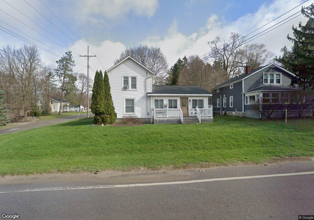
10117 Crouse Rd Hartland, MI 48353
Estimated Value: $251,000 - $331,000
3
Beds
1
Bath
1,523
Sq Ft
$189/Sq Ft
Est. Value
About This Home
This home is located at 10117 Crouse Rd, Hartland, MI 48353 and is currently estimated at $287,308, approximately $188 per square foot. 10117 Crouse Rd is a home located in Livingston County with nearby schools including Hartland High School and Charyl Stockwell Academy.
Ownership History
Date
Name
Owned For
Owner Type
Purchase Details
Closed on
Aug 9, 2019
Sold by
Ellis John and Ellis Karen
Bought by
Elli Karen
Current Estimated Value
Purchase Details
Closed on
Jun 30, 2003
Sold by
Ellis Robert W and Ellis Donna B
Bought by
Ellis John S and Ellis Karen M
Home Financials for this Owner
Home Financials are based on the most recent Mortgage that was taken out on this home.
Original Mortgage
$120,500
Interest Rate
6.18%
Mortgage Type
Purchase Money Mortgage
Purchase Details
Closed on
Sep 27, 2002
Sold by
Yarbrough Rick A and Yarbrough Deborah D
Bought by
Ellis Robert W and Ellis Donna B
Create a Home Valuation Report for This Property
The Home Valuation Report is an in-depth analysis detailing your home's value as well as a comparison with similar homes in the area
Home Values in the Area
Average Home Value in this Area
Purchase History
| Date | Buyer | Sale Price | Title Company |
|---|---|---|---|
| Elli Karen | -- | -- | |
| Ellis John S | -- | Multiple | |
| Ellis Robert W | $147,000 | Metropolitan Title Company |
Source: Public Records
Mortgage History
| Date | Status | Borrower | Loan Amount |
|---|---|---|---|
| Previous Owner | Ellis John S | $120,500 |
Source: Public Records
Tax History Compared to Growth
Tax History
| Year | Tax Paid | Tax Assessment Tax Assessment Total Assessment is a certain percentage of the fair market value that is determined by local assessors to be the total taxable value of land and additions on the property. | Land | Improvement |
|---|---|---|---|---|
| 2025 | $1,717 | $122,500 | $0 | $0 |
| 2024 | $744 | $115,700 | $0 | $0 |
| 2023 | $711 | $110,900 | $0 | $0 |
| 2022 | $1,569 | $80,300 | $0 | $0 |
| 2021 | $1,497 | $93,100 | $0 | $0 |
| 2020 | $1,492 | $90,900 | $0 | $0 |
| 2019 | $1,397 | $80,300 | $0 | $0 |
| 2018 | $1,368 | $53,700 | $0 | $0 |
| 2017 | $1,344 | $53,700 | $0 | $0 |
| 2016 | $1,337 | $52,200 | $0 | $0 |
| 2014 | $1,717 | $47,100 | $0 | $0 |
| 2012 | $1,717 | $47,400 | $0 | $0 |
Source: Public Records
Map
Nearby Homes
- 3567 Washington St
- 10412 Maple Rd
- 3801 Glen Hills Dr
- 10555 Oakhill St
- 11095 Hibner Rd
- 11111 Hibner Rd
- 10484 Northvalley Ct Unit 14
- 10456 Viewtop Ct
- 3738 Cullen Rd
- V/L Old Us 23 Hwy
- 2209 Chase Dr Unit 101
- 2215 Chase Dr Unit 102
- Chase Plan at Hunters Ridge - Landings 5
- Beretta Loft Plan at Hunters Ridge - Landings 5
- Beretta Plan at Hunters Ridge - Landings 5
- Arrow Plan at Hunters Ridge - Landings 5
- 2233 Chase Dr Unit 105
- 9947 Ridge Run St Unit 89/9
- 9960 Ridge Run St
- 9777 Ridge Run St Unit 67
- 10130 Jackson St Unit Bldg-Unit
- 10130 Jackson St
- 10125 Crouse Rd
- 3534 Mill St
- 00 Crouse Rd
- 3531 Avon St
- 3491 Hartland Rd
- 3535 Mill St
- 3509 Mill St
- 3546 Mill St
- 3545 Avon St
- 10128 Phelps St
- 3540 Avon St
- 3554 Avon St
- 3556 Avon St
- 3554 Avon St Unit 1st floor
- 3557 Mill St
- 0 Avon St
- 3569 Avon St
- 3530 Avon St