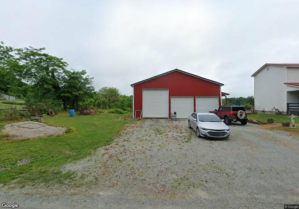
10119 N Union Rd Hillsboro, OH 45133
Estimated Value: $286,514 - $395,000
5
Beds
1
Bath
1,860
Sq Ft
$189/Sq Ft
Est. Value
About This Home
This home is located at 10119 N Union Rd, Hillsboro, OH 45133 and is currently estimated at $352,379, approximately $189 per square foot. 10119 N Union Rd is a home located in Highland County with nearby schools including Bright Elementary School, Whiteoak Junior High School, and Whiteoak High School.
Ownership History
Date
Name
Owned For
Owner Type
Purchase Details
Closed on
Nov 29, 2011
Sold by
Gorman Donald R and Gorman Phyllis A
Bought by
Wolfenbarker Mack A and Wolfenbarker Mary M
Current Estimated Value
Home Financials for this Owner
Home Financials are based on the most recent Mortgage that was taken out on this home.
Original Mortgage
$80,800
Outstanding Balance
$55,564
Interest Rate
4.12%
Mortgage Type
FHA
Estimated Equity
$296,815
Purchase Details
Closed on
Dec 3, 2002
Sold by
Crawford Jeanette S
Bought by
Gorman Donald R and Gorman Phyllis A
Home Financials for this Owner
Home Financials are based on the most recent Mortgage that was taken out on this home.
Original Mortgage
$48,000
Interest Rate
6.22%
Mortgage Type
New Conventional
Purchase Details
Closed on
Jan 1, 1990
Bought by
Garman Robert and Garman Nancy
Create a Home Valuation Report for This Property
The Home Valuation Report is an in-depth analysis detailing your home's value as well as a comparison with similar homes in the area
Home Values in the Area
Average Home Value in this Area
Purchase History
| Date | Buyer | Sale Price | Title Company |
|---|---|---|---|
| Wolfenbarker Mack A | $90,000 | Technetitle Agency | |
| Gorman Donald R | $37,000 | -- | |
| Garman Robert | -- | -- |
Source: Public Records
Mortgage History
| Date | Status | Borrower | Loan Amount |
|---|---|---|---|
| Open | Wolfenbarker Mack A | $80,800 | |
| Closed | Gorman Donald R | $48,000 |
Source: Public Records
Tax History Compared to Growth
Tax History
| Year | Tax Paid | Tax Assessment Tax Assessment Total Assessment is a certain percentage of the fair market value that is determined by local assessors to be the total taxable value of land and additions on the property. | Land | Improvement |
|---|---|---|---|---|
| 2024 | $2,577 | $83,200 | $6,090 | $77,110 |
| 2023 | $2,577 | $56,740 | $5,430 | $51,310 |
| 2022 | $1,869 | $54,290 | $5,430 | $48,860 |
| 2021 | $1,778 | $54,290 | $5,430 | $48,860 |
| 2020 | $1,475 | $43,440 | $4,340 | $39,100 |
| 2019 | $1,466 | $43,440 | $4,340 | $39,100 |
| 2018 | $1,472 | $43,440 | $4,340 | $39,100 |
| 2017 | $1,163 | $34,410 | $4,690 | $29,720 |
| 2016 | $1,163 | $34,410 | $4,690 | $29,720 |
| 2015 | $1,165 | $34,410 | $4,690 | $29,720 |
| 2014 | $1,213 | $34,410 | $4,690 | $29,720 |
| 2013 | $1,140 | $32,340 | $4,690 | $27,650 |
Source: Public Records
Map
Nearby Homes
- 9963 Coss Rd
- 9888 E Deadfall Rd
- 1717 Zion Ln
- 9094 W Deadfall Rd
- 0 Rocklick Rd Unit 1850847
- 0 Rocklick Rd Unit 22305798
- 0 Rocklick Rd Unit 1827311
- 0 Rocklick Rd Unit 11401099
- 11883 Walnut Shade Rd
- 10955 E Prospect Rd
- 1865 Ohio 247
- 1445 Louisville Rd
- 12466 Sinking Spring Rd
- 4698 Bennington Rd
- 4724 Bennington Rd
- 1765 Greenbrier Rd
- 289 Elmville Rd
- 1318 Greenbrier Rd
- 2580 Concord Rd
- 11151 Ohio 124
- 10124 N Union Rd
- 10132 N Union Rd
- 10044 N Union Rd
- 10196 N Union Rd
- 9970 N Union Rd
- 10198 N Union Rd
- 10208 N Union Rd
- 10208 N Union Rd
- 10224 N Union Rd
- 10241 N Union Rd
- 10241 N Union Rd
- 9920 N Union Rd
- 10175 N Union Rd
- 10265 N Union Rd
- 0 N Union Rd Unit 1534727
- 117ac N Union Rd
- 0 N Union Rd Unit 1671938
- 0 N Union Rd Unit 1656376
- 10211 Coss Rd
- 10319 Coss Rd