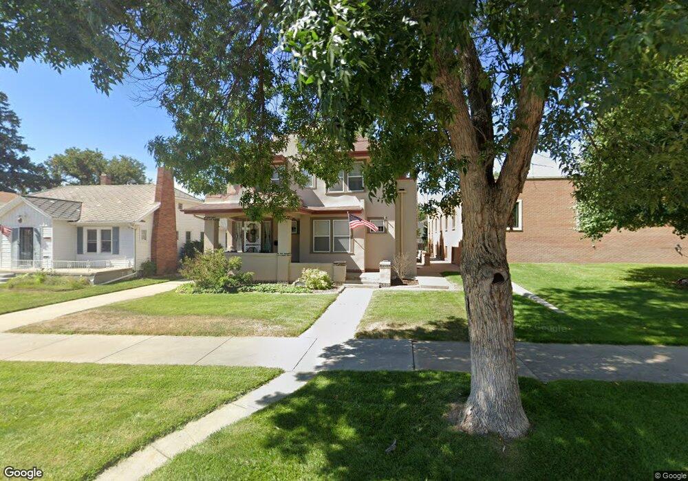
1012 Box Butte Ave Alliance, NE 69301
Estimated Value: $156,000 - $234,000
3
Beds
1
Bath
1,699
Sq Ft
$117/Sq Ft
Est. Value
About This Home
This home is located at 1012 Box Butte Ave, Alliance, NE 69301 and is currently estimated at $198,284, approximately $116 per square foot. 1012 Box Butte Ave is a home located in Box Butte County with nearby schools including Alliance High School, St. Agnes Academy, and Immanuel Evangelical Lutheran School.
Ownership History
Date
Name
Owned For
Owner Type
Purchase Details
Closed on
Oct 15, 2024
Sold by
Tyree Joshua W and Tyree Alicia
Bought by
Collord Marla and Collord David M
Current Estimated Value
Home Financials for this Owner
Home Financials are based on the most recent Mortgage that was taken out on this home.
Original Mortgage
$199,500
Outstanding Balance
$197,342
Interest Rate
6.2%
Mortgage Type
New Conventional
Estimated Equity
$942
Purchase Details
Closed on
Apr 22, 2014
Sold by
Lierk Charles L and Lierk Ellen R
Bought by
Tyree Joshua W
Create a Home Valuation Report for This Property
The Home Valuation Report is an in-depth analysis detailing your home's value as well as a comparison with similar homes in the area
Home Values in the Area
Average Home Value in this Area
Purchase History
| Date | Buyer | Sale Price | Title Company |
|---|---|---|---|
| Collord Marla | $210,000 | Kunzman Title | |
| Tyree Joshua W | $160,000 | -- |
Source: Public Records
Mortgage History
| Date | Status | Borrower | Loan Amount |
|---|---|---|---|
| Open | Collord Marla | $199,500 |
Source: Public Records
Tax History Compared to Growth
Tax History
| Year | Tax Paid | Tax Assessment Tax Assessment Total Assessment is a certain percentage of the fair market value that is determined by local assessors to be the total taxable value of land and additions on the property. | Land | Improvement |
|---|---|---|---|---|
| 2024 | $2,255 | $180,090 | $7,000 | $173,090 |
| 2023 | $3,096 | $180,090 | $7,000 | $173,090 |
| 2022 | $3,199 | $175,650 | $6,300 | $169,350 |
| 2021 | $3,238 | $175,650 | $6,300 | $169,350 |
| 2020 | $3,229 | $175,650 | $6,300 | $169,350 |
| 2019 | $3,153 | $175,650 | $6,300 | $169,350 |
| 2018 | $3,138 | $175,650 | $6,300 | $169,350 |
| 2017 | $2,558 | $137,815 | $4,550 | $133,265 |
| 2016 | $2,528 | $137,815 | $4,550 | $133,265 |
| 2015 | $1,880 | $130,320 | $4,550 | $125,770 |
| 2014 | $1,880 | $110,650 | $4,550 | $106,100 |
Source: Public Records
Map
Nearby Homes
- 1019 Laramie Ave
- 904 Laramie Ave
- 924 Big Horn Ave
- 1004 Missouri Ave
- 917 Missouri Ave
- 907 Toluca Ave
- 615 Sweetwater Ave
- 1239 Toluca Ave
- 719 Toluca Ave
- 911 Emerson Ave
- 420 Laramie Ave
- 621 Emerson Ave
- 936 Platte Ave
- 1120 Potash Ave
- 613 Mississippi Ave
- 667 E 9th St
- 819 Black Hills Ave
- 719 E 8th St
- 316 Big Horn Ave
- 620 Hudson Ave
- 1008 Box Butte Ave
- 1004 Box Butte Ave
- 1015 Laramie Ave
- 1007 Laramie Ave
- 1003 Laramie Ave
- 936 Box Butte Ave
- 1023 Laramie Ave
- 1015 Box Butte Ave
- 1011 Box Butte Ave
- 1007 Box Butte Ave
- 1001 Box Butte Ave
- 1019 Box Butte Ave
- 932 Box Butte Ave
- 1023 Box Butte Ave
- 937 Laramie Ave
- 935 Box Butte Ave
- 928 Box Butte Ave
- 1103 Box Butte Ave
- 927 Laramie Ave
- 931 Box Butte Ave