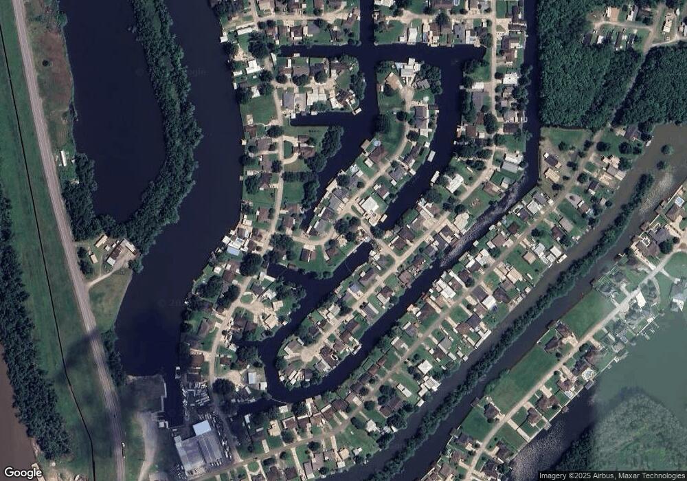
1012 Claire Dr Unit B Morgan City, LA 70380
Saint Martin Parish NeighborhoodEstimated Value: $62,000 - $195,857
--
Bed
--
Bath
--
Sq Ft
7,754
Sq Ft Lot
About This Home
This home is located at 1012 Claire Dr Unit B, Morgan City, LA 70380 and is currently estimated at $132,214. 1012 Claire Dr Unit B is a home located in St. Martin Parish.
Ownership History
Date
Name
Owned For
Owner Type
Purchase Details
Closed on
Jun 29, 2017
Sold by
Iberiabank
Bought by
Cannata Anthony Joseph and Cannata Linda B
Current Estimated Value
Purchase Details
Closed on
Apr 20, 2016
Sold by
Cairns Rodd J
Bought by
Iberiabank
Purchase Details
Closed on
Nov 16, 2007
Sold by
Dugas Sara Jane
Bought by
Cairns Rodd J
Purchase Details
Closed on
Sep 13, 2007
Sold by
Bennett Arminda Leon
Bought by
Dugas Sara Jane
Home Financials for this Owner
Home Financials are based on the most recent Mortgage that was taken out on this home.
Original Mortgage
$85,100
Interest Rate
6.63%
Mortgage Type
Future Advance Clause Open End Mortgage
Create a Home Valuation Report for This Property
The Home Valuation Report is an in-depth analysis detailing your home's value as well as a comparison with similar homes in the area
Home Values in the Area
Average Home Value in this Area
Purchase History
| Date | Buyer | Sale Price | Title Company |
|---|---|---|---|
| Cannata Anthony Joseph | $58,000 | None Available | |
| Iberiabank | $83,333 | None Available | |
| Cairns Rodd J | $105,000 | -- | |
| Dugas Sara Jane | $85,100 | -- |
Source: Public Records
Mortgage History
| Date | Status | Borrower | Loan Amount |
|---|---|---|---|
| Previous Owner | Dugas Sara Jane | $85,100 |
Source: Public Records
Tax History Compared to Growth
Tax History
| Year | Tax Paid | Tax Assessment Tax Assessment Total Assessment is a certain percentage of the fair market value that is determined by local assessors to be the total taxable value of land and additions on the property. | Land | Improvement |
|---|---|---|---|---|
| 2024 | $310 | $2,500 | $2,500 | $0 |
| 2023 | $318 | $2,500 | $2,500 | $0 |
| 2022 | $320 | $2,500 | $2,500 | $0 |
| 2021 | $321 | $2,500 | $2,500 | $0 |
| 2020 | $328 | $2,500 | $2,500 | $0 |
| 2019 | $326 | $2,500 | $2,500 | $0 |
| 2018 | $322 | $2,500 | $2,500 | $0 |
| 2017 | $324 | $2,500 | $2,500 | $0 |
| 2016 | $1,313 | $10,460 | $2,500 | $7,960 |
| 2015 | $1,343 | $10,400 | $2,500 | $7,900 |
| 2014 | $1,468 | $11,190 | $2,500 | $8,690 |
| 2013 | $1,468 | $11,190 | $2,500 | $8,690 |
Source: Public Records
Map
Nearby Homes
- 1003 Debra Ct
- 1045 Dawn Dr
- 1040 Susan Ct
- 1012 Dawn Dr
- 1017 Pauline Ct
- 1014 Woodview Ct
- 1156 Stephensville Rd
- TBD #2 Stephensville Rd
- TBD Stephensville Rd
- 1267 Stephensville Rd
- 2600 Maple St
- 1 Marquis Manor
- 1029 Hickory St
- 1217 Onstead St
- 1212 Onstead St
- 1817 W Garner Dr
- 1709 W Garner Dr
- 1905 Maple St
- 2419 Tupelo St
- 2401 Tupelo St
