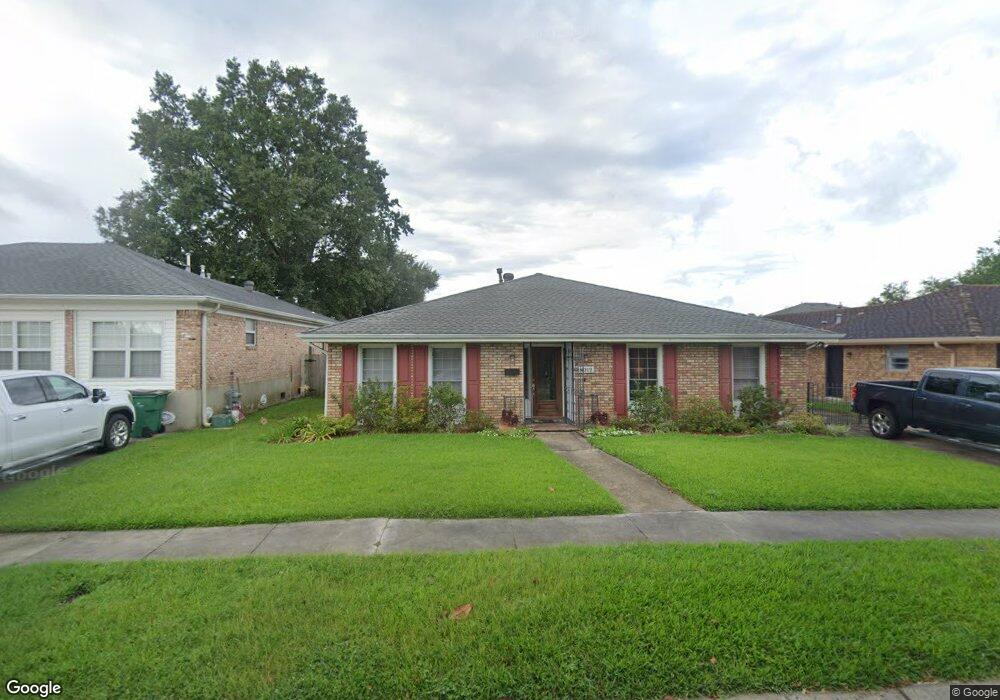
1012 Colony Rd Metairie, LA 70003
Airline Park NeighborhoodEstimated Value: $298,421 - $335,000
4
Beds
2
Baths
2,128
Sq Ft
$150/Sq Ft
Est. Value
About This Home
This home is located at 1012 Colony Rd, Metairie, LA 70003 and is currently estimated at $319,855, approximately $150 per square foot. 1012 Colony Rd is a home located in Jefferson Parish with nearby schools including Rudolph Matas School, Airline Park Academy For Advanced Studies, and T.H. Harris Middle School.
Ownership History
Date
Name
Owned For
Owner Type
Purchase Details
Closed on
May 13, 2008
Sold by
Woolley Marilyn
Bought by
Johnston Michael
Current Estimated Value
Home Financials for this Owner
Home Financials are based on the most recent Mortgage that was taken out on this home.
Original Mortgage
$218,275
Outstanding Balance
$138,088
Interest Rate
5.86%
Mortgage Type
FHA
Estimated Equity
$181,767
Create a Home Valuation Report for This Property
The Home Valuation Report is an in-depth analysis detailing your home's value as well as a comparison with similar homes in the area
Home Values in the Area
Average Home Value in this Area
Purchase History
| Date | Buyer | Sale Price | Title Company |
|---|---|---|---|
| Johnston Michael | $220,000 | -- |
Source: Public Records
Mortgage History
| Date | Status | Borrower | Loan Amount |
|---|---|---|---|
| Open | Johnston Michael | $218,275 |
Source: Public Records
Tax History Compared to Growth
Tax History
| Year | Tax Paid | Tax Assessment Tax Assessment Total Assessment is a certain percentage of the fair market value that is determined by local assessors to be the total taxable value of land and additions on the property. | Land | Improvement |
|---|---|---|---|---|
| 2024 | $21,978 | $23,360 | $6,510 | $16,850 |
| 2023 | $2,043 | $23,030 | $5,210 | $17,820 |
| 2022 | $2,950 | $23,030 | $5,210 | $17,820 |
| 2021 | $2,740 | $23,030 | $5,210 | $17,820 |
| 2020 | $2,721 | $23,030 | $5,210 | $17,820 |
| 2019 | $2,747 | $22,620 | $4,170 | $18,450 |
| 2018 | $1,715 | $22,620 | $4,170 | $18,450 |
| 2017 | $2,565 | $22,620 | $4,170 | $18,450 |
| 2016 | $2,515 | $22,620 | $4,170 | $18,450 |
| 2015 | $1,651 | $22,180 | $3,340 | $18,840 |
| 2014 | $1,651 | $22,180 | $3,340 | $18,840 |
Source: Public Records
Map
Nearby Homes
- 1012 Colony Place
- 1100 Colony Place
- 1008 Colony Place
- 1021 Linwood Ave
- 1017 Linwood Ave
- 1004 Colony Place
- 1025 Linwood Ave
- 1104 Colony Place
- 1013 Linwood Ave
- 1013 Colony Place
- 1009 Colony Place
- 1029 Linwood Ave
- 1005 Colony Rd
- 1101 Colony Place
- 1005 Colony Place
- 1000 Colony Place
- 1009 Linwood Ave
- 1105 Colony Place
- 1033 Linwood Ave
- 1001 Colony Place