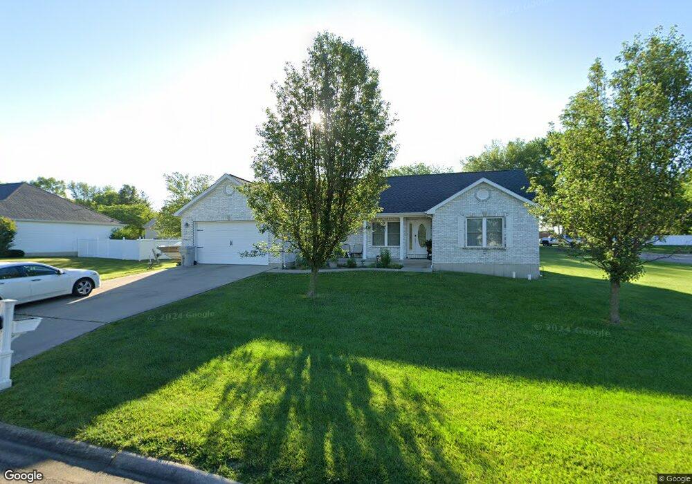
1012 Dale Dr Farmington, MO 63640
Estimated Value: $284,000 - $312,000
3
Beds
3
Baths
1,598
Sq Ft
$188/Sq Ft
Est. Value
About This Home
This home is located at 1012 Dale Dr, Farmington, MO 63640 and is currently estimated at $300,057, approximately $187 per square foot. 1012 Dale Dr is a home located in St. Francois County with nearby schools including Farmington Senior High School, St. Paul Lutheran School, and St. Joseph School.
Ownership History
Date
Name
Owned For
Owner Type
Purchase Details
Closed on
Oct 5, 2020
Sold by
Merritt Sharon L
Bought by
Chiarelli Kenneth D
Current Estimated Value
Home Financials for this Owner
Home Financials are based on the most recent Mortgage that was taken out on this home.
Original Mortgage
$192,351
Outstanding Balance
$171,086
Interest Rate
2.9%
Mortgage Type
Construction
Estimated Equity
$128,971
Create a Home Valuation Report for This Property
The Home Valuation Report is an in-depth analysis detailing your home's value as well as a comparison with similar homes in the area
Home Values in the Area
Average Home Value in this Area
Purchase History
| Date | Buyer | Sale Price | Title Company |
|---|---|---|---|
| Chiarelli Kenneth D | $194,274 | -- |
Source: Public Records
Mortgage History
| Date | Status | Borrower | Loan Amount |
|---|---|---|---|
| Open | Chiarelli Kenneth D | $192,351 |
Source: Public Records
Tax History Compared to Growth
Tax History
| Year | Tax Paid | Tax Assessment Tax Assessment Total Assessment is a certain percentage of the fair market value that is determined by local assessors to be the total taxable value of land and additions on the property. | Land | Improvement |
|---|---|---|---|---|
| 2024 | $1,684 | $33,430 | $4,390 | $29,040 |
| 2023 | $1,684 | $33,430 | $4,390 | $29,040 |
| 2022 | $1,689 | $33,430 | $4,390 | $29,040 |
| 2021 | $1,684 | $33,430 | $4,390 | $29,040 |
| 2020 | $1,418 | $27,970 | $4,390 | $23,580 |
| 2019 | $1,418 | $27,970 | $4,390 | $23,580 |
| 2018 | -- | $21,740 | $3,330 | $18,410 |
| 2017 | $1,139 | $21,740 | $3,330 | $18,410 |
| 2016 | $1,134 | $21,740 | $0 | $0 |
| 2015 | -- | $21,740 | $0 | $0 |
| 2014 | -- | $21,740 | $0 | $0 |
| 2013 | -- | $21,740 | $0 | $0 |
Source: Public Records
Map
Nearby Homes
- 317 Spruce St
- 723 Moore St
- 622 Ann St
- 210 Hickory St
- 643 Woodgate St
- 222 Meadowbrook Dr
- 805 N Carleton St
- 926 N Middle St
- 222 Gendale St
- 125 Oak St
- 213 Lakeview Dr
- 538 Colorado St
- 532 Colorado St
- 526 Colorado St
- 520 Colorado St
- 516 Colorado St
- 421 Martin St
- 556 Oak Terrace
- 920 Michigan St
- 1547 Kiesha Ln
- 531 James Ct
- 1018 Dale Dr
- 1017 Dale Dr
- 1013 Dale Dr
- 530 John David Dr
- 1004 Dale Dr
- 1021 Dale Dr
- 1009 Dale Dr
- 530 James Ct
- 9 John David Lot Dr
- 534 John David Dr
- 520 N Loretta Ct
- 524 N Loretta Ct
- 1005 Dale Dr
- 516 N Loretta Ct
- 525 John David Dr
- 528 N Loretta Ct
- 521 John David Dr
- 1025 Dale Dr
- 529 John David Dr Unit DAVID