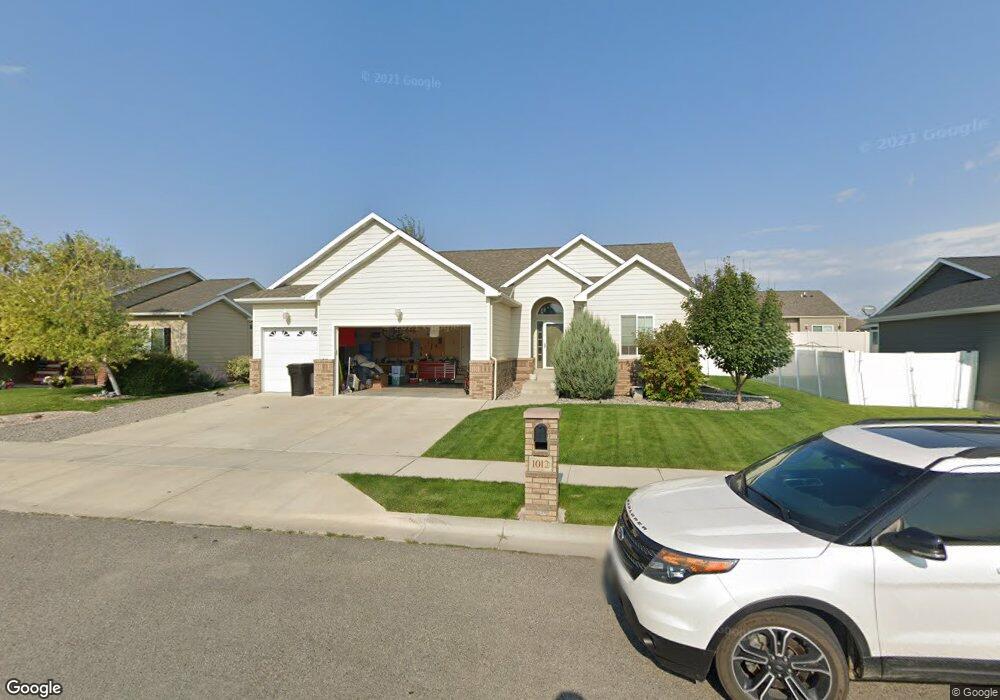
1012 Davis Cir Laurel, MT 59044
Estimated Value: $472,000 - $539,000
About This Home
This home is located at 1012 Davis Cir, Laurel, MT 59044 and is currently estimated at $500,703, approximately $180 per square foot. 1012 Davis Cir is a home located in Yellowstone County with nearby schools including West School, Fred W. Graff School, and Laurel Middle School.
Ownership History
We collect this data history from publicly available records. To have your information removed, we recommend requesting removal directly through your county’s website.
Purchase Details
Home Financials for this Owner
Home Financials are based on the most recent Mortgage that was taken out on this home.Home Values in the Area
Average Home Value in this Area
Purchase History
We collect this data history from publicly available records. To have your information removed, we recommend requesting removal directly through your county’s website.
| Date | Buyer | Sale Price | Title Company |
|---|---|---|---|
| -- | None Available | ||
| -- | None Available |
Mortgage History
We collect this data history from publicly available records. To have your information removed, we recommend requesting removal directly through your county’s website.
| Date | Status | Borrower | Loan Amount |
|---|---|---|---|
| Open | $224,000 | ||
| Closed | $42,225 |
Tax History
We collect this data history from publicly available records. To have your information removed, we recommend requesting removal directly through your county’s website.
| Year | Tax Paid | Tax Assessment Tax Assessment Total Assessment is a certain percentage of the fair market value that is determined by local assessors to be the total taxable value of land and additions on the property. | Land | Improvement |
|---|---|---|---|---|
| 2025 | $3,950 | $503,000 | $74,347 | $428,653 |
| 2024 | $3,950 | $422,200 | $68,150 | $354,050 |
| 2023 | $3,625 | $422,200 | $68,150 | $354,050 |
| 2022 | $3,048 | $337,100 | $0 | $0 |
| 2021 | $3,076 | $337,100 | $0 | $0 |
| 2020 | $3,044 | $329,000 | $0 | $0 |
| 2019 | $3,079 | $329,000 | $0 | $0 |
| 2018 | $3,219 | $318,500 | $0 | $0 |
| 2017 | $2,712 | $318,500 | $0 | $0 |
| 2016 | $2,904 | $303,500 | $0 | $0 |
| 2015 | $2,870 | $303,500 | $0 | $0 |
| 2014 | $2,485 | $134,832 | $0 | $0 |
Map
- 1008 Els Dr
- TBD 17th Ave
- 1818 W Maryland Ln
- 1014 Rochelle Ln
- 2125 Saddleback Dr
- 1107 11th Ave
- 2175 Saddleback Dr
- 910 10th Ave
- 807 W 12th St
- 702 W Maryland Ln
- 1316 Beartooth Dr
- 310 Foundation Ave
- 311 Foundation Ave
- 201 Foundation Ave
- 926 5th Ave
- 805 & 807 W 3rd St
- 515 6th Ave
- 1605 Timber Wolf Trail
- 218 W Maryland Ln
- 2645 Ranch Trail Rd
Ask me questions while you tour the home.