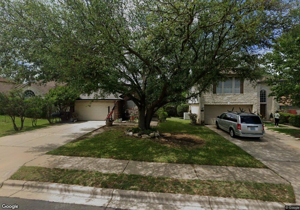
1012 Double File Trail Round Rock, TX 78665
Stony Point NeighborhoodEstimated Value: $299,000 - $350,000
3
Beds
3
Baths
1,435
Sq Ft
$224/Sq Ft
Est. Value
About This Home
This home is located at 1012 Double File Trail, Round Rock, TX 78665 and is currently estimated at $321,969, approximately $224 per square foot. 1012 Double File Trail is a home located in Williamson County with nearby schools including Union Hill Elementary School, Hopewell Middle School, and Stony Point High IB World School.
Ownership History
Date
Name
Owned For
Owner Type
Purchase Details
Closed on
Dec 12, 2022
Sold by
Opendoor Property Trust
Bought by
Bohoussou Gnamien Benedicte At
Current Estimated Value
Home Financials for this Owner
Home Financials are based on the most recent Mortgage that was taken out on this home.
Original Mortgage
$304,502
Outstanding Balance
$295,365
Interest Rate
6.95%
Mortgage Type
New Conventional
Estimated Equity
$26,604
Purchase Details
Closed on
Oct 10, 2022
Sold by
Ruiz Lucia
Bought by
Opendoor Property Trust
Create a Home Valuation Report for This Property
The Home Valuation Report is an in-depth analysis detailing your home's value as well as a comparison with similar homes in the area
Home Values in the Area
Average Home Value in this Area
Purchase History
| Date | Buyer | Sale Price | Title Company |
|---|---|---|---|
| Bohoussou Gnamien Benedicte At | -- | -- | |
| Opendoor Property Trust | -- | -- |
Source: Public Records
Mortgage History
| Date | Status | Borrower | Loan Amount |
|---|---|---|---|
| Open | Bohoussou Gnamien Benedicte At | $304,502 |
Source: Public Records
Tax History Compared to Growth
Tax History
| Year | Tax Paid | Tax Assessment Tax Assessment Total Assessment is a certain percentage of the fair market value that is determined by local assessors to be the total taxable value of land and additions on the property. | Land | Improvement |
|---|---|---|---|---|
| 2025 | $4,064 | $296,164 | $81,000 | $215,164 |
| 2024 | $4,064 | $283,117 | $81,000 | $202,117 |
| 2023 | $4,539 | $314,547 | $84,000 | $230,547 |
| 2022 | $4,388 | $231,396 | $0 | $0 |
| 2021 | $4,722 | $210,360 | $59,000 | $185,567 |
| 2020 | $4,317 | $191,236 | $53,278 | $137,958 |
| 2019 | $4,607 | $199,562 | $46,800 | $152,762 |
| 2018 | $0 | $187,167 | $42,479 | $144,688 |
| 2017 | $4,098 | $173,950 | $39,700 | $134,250 |
| 2016 | $3,768 | $159,949 | $39,700 | $122,215 |
| 2015 | $2,904 | $145,408 | $33,600 | $116,645 |
| 2014 | $2,904 | $132,189 | $0 | $0 |
Source: Public Records
Map
Nearby Homes
- 1518 Sundance Dr
- 2924 Settlement Dr
- 3009 Pioneer Way
- 1635 Sundance Dr
- 3017 Settlement Dr Unit 24
- 3017 Settlement Dr Unit 30
- 3000 Sunrise Rd
- 3133 Lake Cove
- 1481 E Old Settlers Blvd Unit 1503
- 1481 E Old Settlers Blvd Unit 1801
- 2606 Bradley Ln
- 2471 Sunrise Rd Unit 51
- 2471 Sunrise Rd Unit 1
- 2471 Sunrise Rd Unit 35
- 2407 Curry Loop Unit A
- 909 Clearwater Trail
- 2412 Hallie Way
- 712 Clearwater Trail
- 812 Saunders Dr
- 3401 Settlement Dr
- 1010 Double File Trail
- 1014 Double File Trail
- 1008 Double File Trail
- 1100 Double File Trail
- 1101 Pathfinder Way
- 1103 Pathfinder Way
- 1023 Pathfinder Way
- 1208 Wilderness Path
- 1105 Pathfinder Way
- 1006 Double File Trail
- 1107 Pathfinder Way
- 1019 Pathfinder Way
- 1004 Double File Trail
- 1101 Double File Trail
- 1206 Wilderness Path
- 1005 Double File Trail
- 1109 Pathfinder Way
- 1017 Pathfinder Way
- 1002 Double File Trail
- 1003 Double File Trail