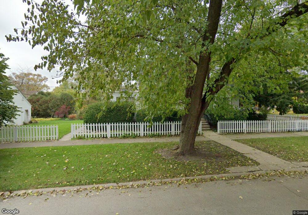
1012 Harrison St Park Ridge, IL 60068
Estimated Value: $582,000 - $666,000
4
Beds
4
Baths
2,362
Sq Ft
$256/Sq Ft
Est. Value
About This Home
This home is located at 1012 Harrison St, Park Ridge, IL 60068 and is currently estimated at $605,445, approximately $256 per square foot. 1012 Harrison St is a home located in Cook County with nearby schools including Theodore Roosevelt Elementary School, Lincoln Middle School, and Maine South High School.
Ownership History
Date
Name
Owned For
Owner Type
Purchase Details
Closed on
Jan 31, 2022
Sold by
Rodas Edwin A and Rodas Stephanie A
Bought by
Edwin A Rodas Trust and Stephanie A Wolfson Trust
Current Estimated Value
Purchase Details
Closed on
Jun 27, 2020
Sold by
Engblad Ann M and Ann M Engblad 2013 Trust
Bought by
Rodas Edwin A and Wolfson Stephanie A
Purchase Details
Closed on
Feb 18, 2013
Sold by
Engblad Ann M
Bought by
Engblad Ann M and Ann M Engblad 2013 Trust
Create a Home Valuation Report for This Property
The Home Valuation Report is an in-depth analysis detailing your home's value as well as a comparison with similar homes in the area
Home Values in the Area
Average Home Value in this Area
Purchase History
| Date | Buyer | Sale Price | Title Company |
|---|---|---|---|
| Edwin A Rodas Trust | -- | None Listed On Document | |
| Rodas Edwin A | $281,000 | Old Republic National Title | |
| Engblad Ann M | -- | None Available |
Source: Public Records
Tax History Compared to Growth
Tax History
| Year | Tax Paid | Tax Assessment Tax Assessment Total Assessment is a certain percentage of the fair market value that is determined by local assessors to be the total taxable value of land and additions on the property. | Land | Improvement |
|---|---|---|---|---|
| 2024 | $5,011 | $16,495 | $2,678 | $13,817 |
| 2023 | $5,464 | $24,768 | $2,678 | $22,090 |
| 2022 | $5,464 | $21,013 | $2,678 | $18,335 |
| 2021 | $2,256 | $7,417 | $1,653 | $5,764 |
| 2020 | $551 | $7,417 | $1,653 | $5,764 |
| 2019 | $544 | $8,110 | $1,653 | $6,457 |
| 2018 | $598 | $9,585 | $1,417 | $8,168 |
| 2017 | $585 | $9,585 | $1,417 | $8,168 |
| 2016 | $742 | $9,585 | $1,417 | $8,168 |
| 2015 | $876 | $8,539 | $1,181 | $7,358 |
| 2014 | $841 | $8,539 | $1,181 | $7,358 |
| 2013 | $816 | $8,539 | $1,181 | $7,358 |
Source: Public Records
Map
Nearby Homes
- 1021 Cleveland Ave
- 718 S Washington Ave
- 1220 Canfield Rd
- 6815 N Olmsted Ave Unit 203
- 6852 N Northwest Hwy Unit 2B
- 6858 N Northwest Hwy Unit 2E
- 6841 N Northwest Hwy Unit 3C
- 1220 Courtland Ave
- 400 S Northwest Hwy Unit 312B
- 6681 N Northwest Hwy
- 623 S Prospect Ave
- 7725 W Myrtle Ave
- 460 S Northwest Hwy Unit 307A
- 6625 N Northwest Hwy Unit 202
- 819 Albion Ave
- 6919 N Overhill Ave
- 820 W Talcott Rd
- 7425 W Devon Ave
- 249 S Vine Ave Unit B
- 1116 S Cumberland Ave
- 1012 Harrison St
- 1006 Harrison St
- 220 Arthur St
- 1002 Harrison St
- 1020 Harrison St
- 1009 Peale Ave
- 1005 Peale Ave
- 1005 Peale Ave
- 1021 Peale Ave
- 1021 Peale Ave
- 1026 Harrison St
- 1000 Harrison St
- 1000 Harrison St
- 1021 Harrison St
- 1011 Harrison St
- 1011 Harrison St
- 1011 Harrison St
- 1030 Harrison St
- 1003 Peale Ave
- 1027 Peale Ave