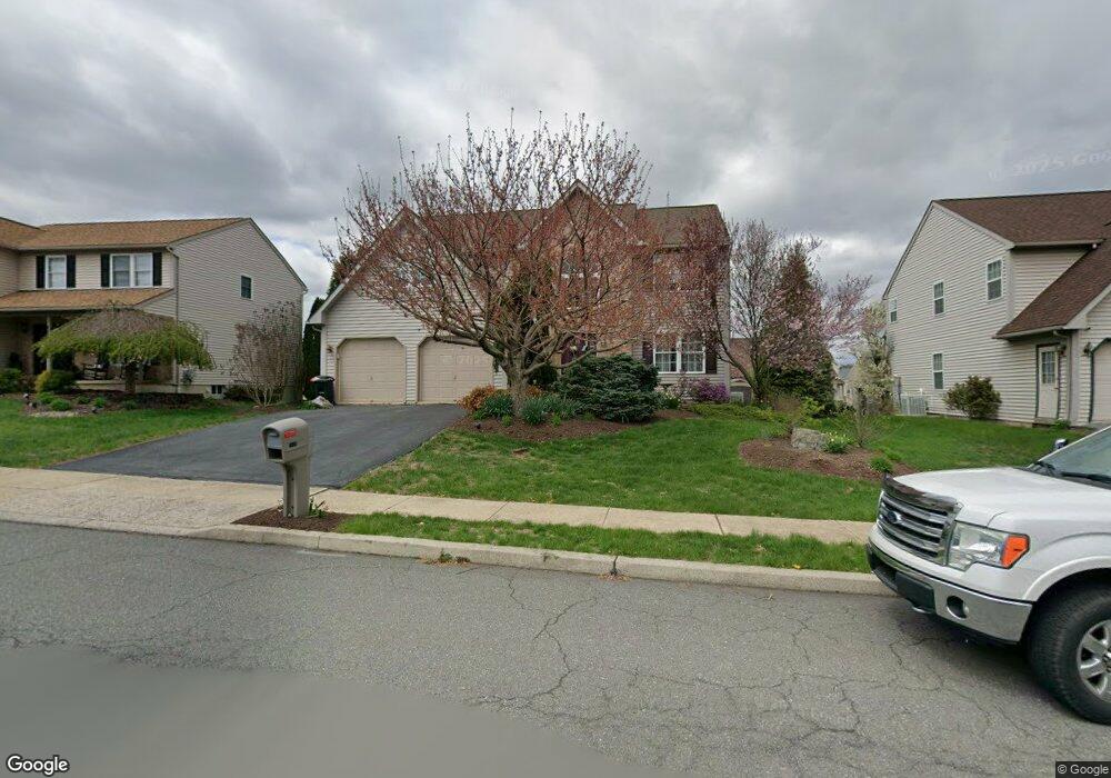
1012 Leanne St Reading, PA 19605
Estimated Value: $411,388 - $471,000
4
Beds
3
Baths
2,552
Sq Ft
$172/Sq Ft
Est. Value
About This Home
This home is located at 1012 Leanne St, Reading, PA 19605 and is currently estimated at $439,097, approximately $172 per square foot. 1012 Leanne St is a home located in Berks County with nearby schools including C E Cole Intermediate School, Muhlenberg Elementary Center, and Muhlenberg Junior High School.
Ownership History
Date
Name
Owned For
Owner Type
Purchase Details
Closed on
Jan 25, 2002
Sold by
Grande Fiorino
Bought by
Lambert Jeffrey Dean and Lambert Tamara Ann
Current Estimated Value
Home Financials for this Owner
Home Financials are based on the most recent Mortgage that was taken out on this home.
Original Mortgage
$140,680
Outstanding Balance
$58,252
Interest Rate
7.08%
Estimated Equity
$380,845
Create a Home Valuation Report for This Property
The Home Valuation Report is an in-depth analysis detailing your home's value as well as a comparison with similar homes in the area
Purchase History
| Date | Buyer | Sale Price | Title Company |
|---|---|---|---|
| Lambert Jeffrey Dean | $175,850 | -- |
Source: Public Records
Mortgage History
| Date | Status | Borrower | Loan Amount |
|---|---|---|---|
| Open | Lambert Jeffrey Dean | $140,680 |
Source: Public Records
Tax History
| Year | Tax Paid | Tax Assessment Tax Assessment Total Assessment is a certain percentage of the fair market value that is determined by local assessors to be the total taxable value of land and additions on the property. | Land | Improvement |
|---|---|---|---|---|
| 2025 | $2,564 | $170,800 | $31,600 | $139,200 |
| 2024 | $8,223 | $170,800 | $31,600 | $139,200 |
| 2023 | $7,718 | $170,800 | $31,600 | $139,200 |
| 2022 | $7,590 | $170,800 | $31,600 | $139,200 |
| 2021 | $7,411 | $170,800 | $31,600 | $139,200 |
| 2020 | $7,411 | $170,800 | $31,600 | $139,200 |
| 2019 | $7,253 | $170,800 | $31,600 | $139,200 |
| 2018 | $7,125 | $170,800 | $31,600 | $139,200 |
| 2017 | $6,991 | $170,800 | $31,600 | $139,200 |
| 2016 | $2,071 | $170,800 | $31,600 | $139,200 |
| 2015 | $2,071 | $170,800 | $31,600 | $139,200 |
| 2014 | $2,071 | $170,800 | $31,600 | $139,200 |
Source: Public Records
Map
Nearby Homes
- 1007 Bowman St
- 1025 Yarrow Ave
- 1079 Sage Ave
- 1018 Bowman St
- 1047 Sage Ave
- 317 Rivervale Rd
- 1004 Heath Ave
- 5213 Stoudts Ferry Bridge Rd
- 1326 Fredrick Blvd
- 1128 Fredrick Blvd Unit 19D
- 4312 Stoudts Ferry Bridge Rd
- 1041 River Crest Dr
- 125 Tuckerton Rd Unit 916
- 4113 Kinder Dr
- 1005 Landover Dr
- 4237 Danor Dr
- 4208 Juniper Dr
- 3555 Reading Crest Ave
- 816 Lobelia Ave
- 4324 Danor Dr
- 1014 Leanne St
- 1010 Leanne St
- 1015 Rosebud St
- 1017 Rosebud St
- 1016 Leanne St
- 1013 Rosebud St
- 1007 Leanne St
- 1019 Rosebud St
- 1008 Leanne St
- 1009 Leanne St
- 1005 Leanne St
- 1011 Rosebud St
- 1011 Leanne St
- 1021 Rosebud St
- 1018 Leanne St
- 1006 Leanne St
- 1003 Leanne St
- 1013 Leanne St
- 1008 Ithaca St
- 1006 Ithaca St
Your Personal Tour Guide
Ask me questions while you tour the home.