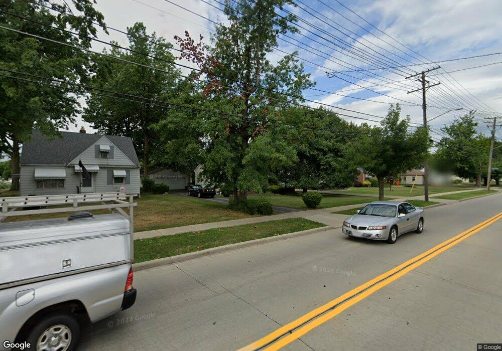
1012 Lloyd Rd Wickliffe, OH 44092
Estimated Value: $157,000 - $174,000
2
Beds
1
Bath
780
Sq Ft
$211/Sq Ft
Est. Value
About This Home
This home is located at 1012 Lloyd Rd, Wickliffe, OH 44092 and is currently estimated at $164,487, approximately $210 per square foot. 1012 Lloyd Rd is a home located in Lake County with nearby schools including Wickliffe Elementary School, Wickliffe Middle School, and Wickliffe High School.
Ownership History
Date
Name
Owned For
Owner Type
Purchase Details
Closed on
May 26, 2023
Sold by
Allison Family Trust
Bought by
Allison Maureen
Current Estimated Value
Purchase Details
Closed on
Jul 3, 2008
Sold by
Allison Norman W
Bought by
Allison Norman N and Allison Maureen
Purchase Details
Closed on
Nov 8, 2000
Sold by
Allison Norman W Trustee
Bought by
Allison Norman W
Purchase Details
Closed on
Aug 6, 1997
Sold by
Allison Norman W Trustee
Bought by
Allison Norman W
Purchase Details
Closed on
Jul 12, 1993
Bought by
Allison Norman W
Create a Home Valuation Report for This Property
The Home Valuation Report is an in-depth analysis detailing your home's value as well as a comparison with similar homes in the area
Home Values in the Area
Average Home Value in this Area
Purchase History
| Date | Buyer | Sale Price | Title Company |
|---|---|---|---|
| Allison Maureen | -- | None Listed On Document | |
| Allison Norman N | $44,300 | Attorney | |
| Allison Norman W | -- | -- | |
| Allison Norman W | -- | -- | |
| Allison Norman W | -- | -- |
Source: Public Records
Tax History
| Year | Tax Paid | Tax Assessment Tax Assessment Total Assessment is a certain percentage of the fair market value that is determined by local assessors to be the total taxable value of land and additions on the property. | Land | Improvement |
|---|---|---|---|---|
| 2025 | -- | $49,530 | $13,310 | $36,220 |
| 2024 | -- | $49,530 | $13,310 | $36,220 |
| 2023 | $6,341 | $36,610 | $11,350 | $25,260 |
| 2022 | $3,035 | $36,610 | $11,350 | $25,260 |
| 2021 | $3,024 | $36,610 | $11,350 | $25,260 |
| 2020 | $6,983 | $30,020 | $9,310 | $20,710 |
| 2019 | $12,879 | $30,020 | $9,310 | $20,710 |
| 2018 | $8,831 | $35,480 | $18,500 | $16,980 |
| 2017 | $2,808 | $35,480 | $18,500 | $16,980 |
| 2016 | $2,796 | $35,480 | $18,500 | $16,980 |
| 2015 | $2,442 | $35,480 | $18,500 | $16,980 |
| 2014 | $2,151 | $35,480 | $18,500 | $16,980 |
| 2013 | $2,150 | $35,480 | $18,500 | $16,980 |
Source: Public Records
Map
Nearby Homes
- 29136 Norman Ave
- 29107 Fuller Ave
- 597 Hemlock Dr
- 568 Sycamore Dr
- 670 Hemlock Dr
- 625 Lloyd Rd
- 940 Talmadge Ave
- 730 Hemlock Dr
- 29616 Grand Blvd
- 754 Hemlock Dr
- 428 E 274th St
- 440 E 271st St
- 406 E 274th St
- 411 E 270th St
- 26831 Shoreview Ave
- 29800 Robert St
- 610 E 266th St
- 26530 Shoreview Ave
- 218 Wells Ct
- 295 E 276th St
Your Personal Tour Guide
Ask me questions while you tour the home.