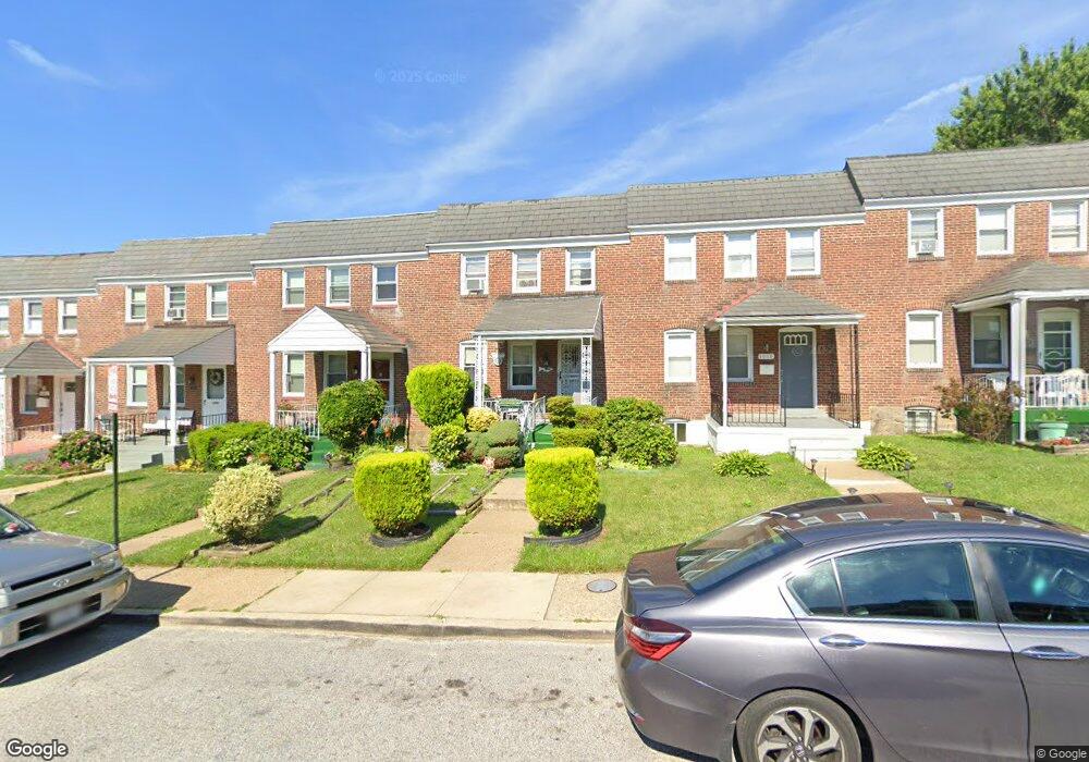
1012 Lyndhurst St Baltimore, MD 21229
Edmondson Villiage NeighborhoodEstimated Value: $125,495 - $162,000
Studio
1
Bath
1,200
Sq Ft
$120/Sq Ft
Est. Value
About This Home
This home is located at 1012 Lyndhurst St, Baltimore, MD 21229 and is currently estimated at $143,748, approximately $119 per square foot. 1012 Lyndhurst St is a home located in Baltimore City with nearby schools including Booker T. Washington Middle School, Frederick Douglass High School, and Forest Park High School.
Ownership History
Date
Name
Owned For
Owner Type
Purchase Details
Closed on
Aug 1, 2017
Sold by
Cox Ernestine L
Bought by
Tates Kevin L and Chapman Montez
Current Estimated Value
Purchase Details
Closed on
Aug 22, 2005
Sold by
Cox Ernestine L
Bought by
Cox Ernestine L
Purchase Details
Closed on
Aug 2, 2005
Sold by
Cox Ernestine L
Bought by
Cox Ernestine L
Purchase Details
Closed on
Nov 23, 1998
Sold by
Cox Ernestine L
Bought by
Cox Ernestine L
Create a Home Valuation Report for This Property
The Home Valuation Report is an in-depth analysis detailing your home's value as well as a comparison with similar homes in the area
Home Values in the Area
Average Home Value in this Area
Purchase History
| Date | Buyer | Sale Price | Title Company |
|---|---|---|---|
| Tates Kevin L | -- | None Available | |
| Cox Ernestine L | -- | -- | |
| Cox Ernestine L | -- | -- | |
| Cox Ernestine L | -- | -- |
Source: Public Records
Tax History
| Year | Tax Paid | Tax Assessment Tax Assessment Total Assessment is a certain percentage of the fair market value that is determined by local assessors to be the total taxable value of land and additions on the property. | Land | Improvement |
|---|---|---|---|---|
| 2025 | $2,288 | $122,033 | -- | -- |
| 2024 | $2,288 | $113,567 | -- | -- |
| 2023 | $2,244 | $105,100 | $25,000 | $80,100 |
| 2022 | $2,153 | $101,067 | $0 | $0 |
| 2021 | $2,290 | $97,033 | $0 | $0 |
| 2020 | $2,002 | $93,000 | $25,000 | $68,000 |
| 2019 | $1,973 | $92,200 | $0 | $0 |
| 2018 | $1,987 | $91,400 | $0 | $0 |
| 2017 | $1,951 | $90,600 | $0 | $0 |
| 2016 | $1,712 | $86,667 | $0 | $0 |
| 2015 | $1,712 | $82,733 | $0 | $0 |
| 2014 | $1,712 | $78,800 | $0 | $0 |
Source: Public Records
Map
Nearby Homes
- 3812 Flowerton Rd
- 3806 Rokeby Rd
- 3904 Woodridge Rd
- 3716 Flowerton Rd
- 4100 Colborne Rd
- 3707 Colborne Rd
- 1215 N Augusta Ave
- 1212 N Augusta Ave
- 827 N Augusta Ave
- 733 Lyndhurst St
- 909 Allendale St
- 4139 Mountwood Rd
- 3706 Cranston Ave
- 1244 N Augusta Ave
- 805 N Woodington Rd
- 3700 Gelston Dr
- 703 N Augusta Ave
- 704 Mount Holly St
- 802 N Woodington Rd
- 3657 Gelston Dr
- 1014 Lyndhurst St
- 1010 Lyndhurst St
- 1016 Lyndhurst St
- 1008 Lyndhurst St
- 1018 Lyndhurst St
- 1006 Lyndhurst St
- 1004 Lyndhurst St
- 1020 Lyndhurst St
- 3901 Rokeby Rd
- 1002 Lyndhurst St
- 3903 Rokeby Rd
- 3900 Flowerton Rd
- 3902 Flowerton Rd
- 1000 Lyndhurst St
- 3905 Rokeby Rd
- 3904 Flowerton Rd
- 3907 Rokeby Rd
- 1013 Lyndhurst St
- 1011 Lyndhurst St
- 1015 Lyndhurst St
Your Personal Tour Guide
Ask me questions while you tour the home.