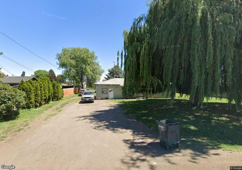
1012 Mcclain Dr Sunnyside, WA 98944
Estimated Value: $235,000 - $341,000
3
Beds
2
Baths
1,756
Sq Ft
$169/Sq Ft
Est. Value
About This Home
This home is located at 1012 Mcclain Dr, Sunnyside, WA 98944 and is currently estimated at $297,444, approximately $169 per square foot. 1012 Mcclain Dr is a home located in Yakima County with nearby schools including Chief Kamiakin Elementary School, Sierra Vista Middle School, and Sunnyside Christian School.
Ownership History
Date
Name
Owned For
Owner Type
Purchase Details
Closed on
Apr 14, 2020
Sold by
Poe Lois E
Bought by
Driesen Barbara J
Current Estimated Value
Purchase Details
Closed on
Mar 29, 2018
Sold by
Cecil C And Lois E Poe Revocable Trust
Bought by
Poe Lois E
Purchase Details
Closed on
Aug 15, 2011
Sold by
Poe Cecil C and Poe Lois
Bought by
Three Angels Broadcasting Network Inc and Cecil C & Lois E Poe Revocable Trust Agr
Purchase Details
Closed on
Apr 27, 2000
Sold by
Poe Cecil C
Bought by
Poe Cecil C and Poe Lois
Create a Home Valuation Report for This Property
The Home Valuation Report is an in-depth analysis detailing your home's value as well as a comparison with similar homes in the area
Home Values in the Area
Average Home Value in this Area
Purchase History
| Date | Buyer | Sale Price | Title Company |
|---|---|---|---|
| Driesen Barbara J | $313 | None Listed On Document | |
| Poe Lois E | -- | None Available | |
| Three Angels Broadcasting Network Inc | -- | None Available | |
| Poe Cecil C | -- | Schreiner Title Company |
Source: Public Records
Tax History Compared to Growth
Tax History
| Year | Tax Paid | Tax Assessment Tax Assessment Total Assessment is a certain percentage of the fair market value that is determined by local assessors to be the total taxable value of land and additions on the property. | Land | Improvement |
|---|---|---|---|---|
| 2025 | $2,186 | $241,500 | $69,100 | $172,400 |
| 2023 | $2,587 | $262,900 | $33,200 | $229,700 |
| 2022 | $1,875 | $182,800 | $32,600 | $150,200 |
| 2021 | $1,692 | $164,600 | $29,300 | $135,300 |
| 2019 | $1,385 | $137,000 | $26,200 | $110,800 |
| 2018 | $1,350 | $120,600 | $24,600 | $96,000 |
| 2017 | $2,721 | $119,200 | $24,600 | $94,600 |
| 2016 | $355 | $117,350 | $24,550 | $92,800 |
| 2015 | $355 | $111,350 | $24,550 | $86,800 |
| 2014 | $355 | $113,350 | $24,550 | $88,800 |
| 2013 | $355 | $113,350 | $24,550 | $88,800 |
Source: Public Records
Map
Nearby Homes
- TBD Lot 7 Harvest Valley Estates Phase 2
- 627 San Mateo Ave
- 866 Ismo Loop
- 1351 Cemetery Rd
- 862 Ismo Loop
- 1731 Sheller Rd
- 1500 E Edison Ave
- 612 E Edison Ave
- 600 E Edison Ave
- TBD Yakima Valley Hwy
- 325 S 5th St Unit 54
- 2681 E Edison Ave Unit 85
- 2681 E Edison Ave Unit 5
- 2681 E Edison Ave Unit 8
- 1820 State Route 241
- 2060 Cemetery Rd
- 615 S 14th St
- 621 S 13th St
- 609 S 8th St
- 712 S 10th St
- 1004 Mcclain Dr
- 1020 Mcclain Dr
- 923 Mcclain Dr
- 1021 Mcclain Dr
- 1024 Mcclain Dr
- 912 Mcclain Dr
- 915 Mcclain Dr
- 1109 Mcclain Dr
- 1110 Mcclain Dr
- 1111 N 16th St
- 1021 Washout Rd
- 906 Mcclain Dr
- 1121 Mcclain Dr
- 1349 Hill Ave
- 921 Washout Rd
- 902 Mcclain Dr
- 1121 Washout Rd
- 1004 Bagley Dr
- 1303 Hill Ave
- 810 Mcclain Dr