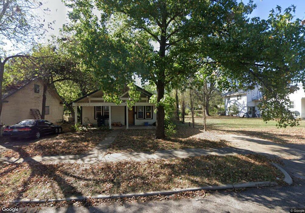
1012 N Hobson Ave Shawnee, OK 74801
Estimated Value: $106,000 - $176,000
--
Bed
1
Bath
--
Sq Ft
2
Acres
About This Home
This home is located at 1012 N Hobson Ave, Shawnee, OK 74801 and is currently estimated at $133,029. 1012 N Hobson Ave is a home located in Pottawatomie County with nearby schools including Sequoyah Elementary School, Shawnee Middle School, and Shawnee High School.
Ownership History
Date
Name
Owned For
Owner Type
Purchase Details
Closed on
Aug 25, 2005
Sold by
Snowden Ronlad Lee and Snowden Patsy Jackquline
Bought by
Samuels Zack and Samuels Mary
Current Estimated Value
Home Financials for this Owner
Home Financials are based on the most recent Mortgage that was taken out on this home.
Original Mortgage
$56,992
Outstanding Balance
$30,357
Interest Rate
5.78%
Mortgage Type
FHA
Estimated Equity
$102,672
Purchase Details
Closed on
Dec 20, 1996
Sold by
Westmoreland James and Westmoreland Norm
Bought by
Stubblefield Frances and Stubblefield An
Create a Home Valuation Report for This Property
The Home Valuation Report is an in-depth analysis detailing your home's value as well as a comparison with similar homes in the area
Home Values in the Area
Average Home Value in this Area
Purchase History
| Date | Buyer | Sale Price | Title Company |
|---|---|---|---|
| Samuels Zack | $58,000 | None Available | |
| Stubblefield Frances | $37,000 | -- |
Source: Public Records
Mortgage History
| Date | Status | Borrower | Loan Amount |
|---|---|---|---|
| Open | Samuels Zack | $56,992 |
Source: Public Records
Tax History Compared to Growth
Tax History
| Year | Tax Paid | Tax Assessment Tax Assessment Total Assessment is a certain percentage of the fair market value that is determined by local assessors to be the total taxable value of land and additions on the property. | Land | Improvement |
|---|---|---|---|---|
| 2024 | $92 | $923 | $923 | -- |
| 2023 | $92 | $879 | $879 | $0 |
| 2022 | $86 | $837 | $837 | $0 |
| 2021 | $80 | $837 | $837 | $0 |
| 2020 | $77 | $760 | $760 | $0 |
| 2019 | $75 | $723 | $723 | $0 |
| 2018 | $71 | $689 | $689 | $0 |
| 2017 | $66 | $656 | $656 | $0 |
| 2016 | $64 | $625 | $625 | $0 |
| 2015 | $60 | $595 | $595 | $0 |
| 2014 | $57 | $567 | $567 | $0 |
Source: Public Records
Map
Nearby Homes
- 1017 N Bdwy Ave
- 824 N Beard Ave
- 1006 N Market Ave
- 434 E Wallace St
- 727 N Beard Ave
- 717 N Broadway Ave
- 1217 N Market Ave
- 735 N Park Ave
- 1003 N Minnesota Ave
- 318 W Dill St
- 718 N Park Ave
- 1324 N Park Ave
- 810 N Kickapoo Ave
- 1510 N Union Ave
- 0 Independence and Minnesota St
- 128 W Ridgewood St
- 1602 N Bdwy
- 615 N Park Ave
- 1607 N Beard Ave
- 634 N Louisa Ave
- 22 E Burns St
- 18 E Burns St
- 1028 N Hobson Ave
- 1028 N Hobson Ave
- 1001 Hobson St
- 1006 Hobson St
- 16 E Burns St
- 1006 N Hobson Ave
- 1001 N Hobson Ave
- 1008 Hobson St
- 1008 N Hobson Ave
- 1011 Hobson St
- 15 E Burns St
- 9 E Burns St
- 931 N Hobson Ave
- 1007 N Bdwy
- 1026 Hobson St
- 1009 N Bdwy
- 1027 Hobson St
- 23 E Burns St