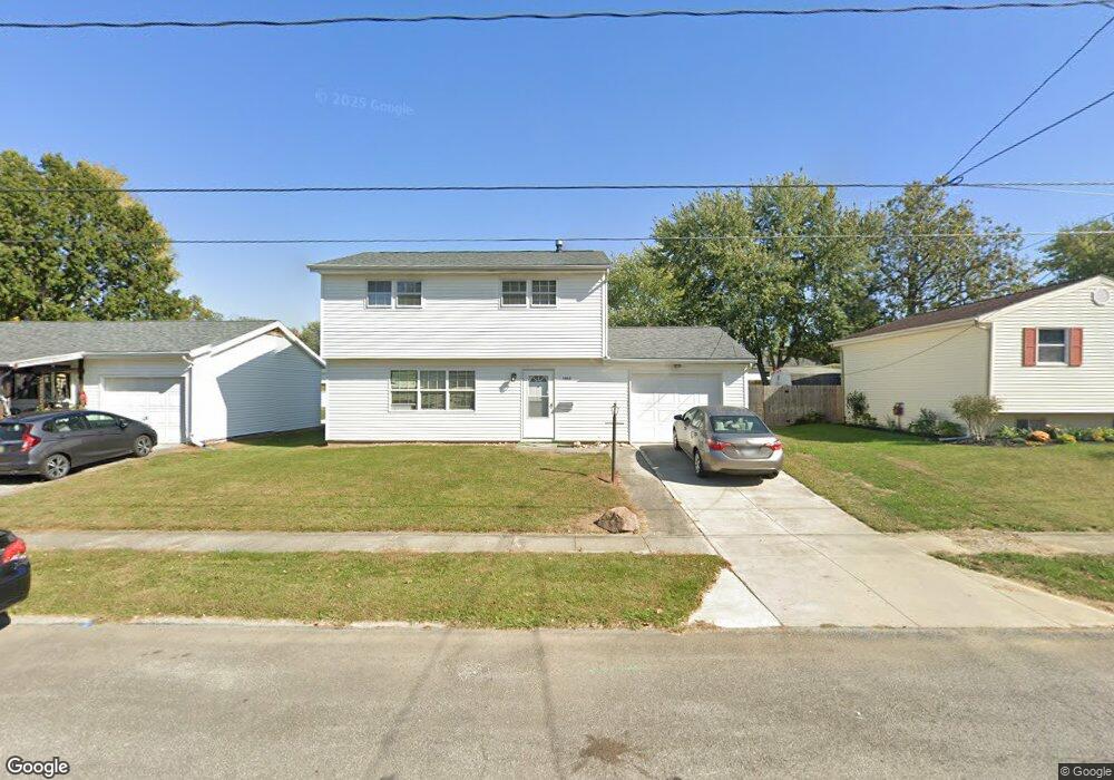
1012 Plantation Dr Marion, OH 43302
Estimated Value: $180,345 - $219,000
4
Beds
2
Baths
1,456
Sq Ft
$140/Sq Ft
Est. Value
About This Home
This home is located at 1012 Plantation Dr, Marion, OH 43302 and is currently estimated at $204,086, approximately $140 per square foot. 1012 Plantation Dr is a home located in Marion County with nearby schools including William McKinley Elementary School, Ulysses S. Grant Middle School, and Harding High School.
Ownership History
Date
Name
Owned For
Owner Type
Purchase Details
Closed on
Mar 16, 2006
Sold by
Trimner Thomas Allen and Trimner Ruth A
Bought by
Schwartz Gary A
Current Estimated Value
Home Financials for this Owner
Home Financials are based on the most recent Mortgage that was taken out on this home.
Original Mortgage
$74,907
Outstanding Balance
$42,858
Interest Rate
6.38%
Mortgage Type
VA
Estimated Equity
$161,228
Purchase Details
Closed on
Jun 2, 1997
Bought by
Schwartz Gary A
Create a Home Valuation Report for This Property
The Home Valuation Report is an in-depth analysis detailing your home's value as well as a comparison with similar homes in the area
Home Values in the Area
Average Home Value in this Area
Purchase History
| Date | Buyer | Sale Price | Title Company |
|---|---|---|---|
| Schwartz Gary A | $79,000 | Title First Agency Inc | |
| Schwartz Gary A | -- | -- |
Source: Public Records
Mortgage History
| Date | Status | Borrower | Loan Amount |
|---|---|---|---|
| Open | Schwartz Gary A | $74,907 |
Source: Public Records
Tax History Compared to Growth
Tax History
| Year | Tax Paid | Tax Assessment Tax Assessment Total Assessment is a certain percentage of the fair market value that is determined by local assessors to be the total taxable value of land and additions on the property. | Land | Improvement |
|---|---|---|---|---|
| 2024 | $1,531 | $39,910 | $6,460 | $33,450 |
| 2023 | $1,531 | $39,910 | $6,460 | $33,450 |
| 2022 | $1,421 | $39,910 | $6,460 | $33,450 |
| 2021 | $1,307 | $33,040 | $5,620 | $27,420 |
| 2020 | $1,310 | $33,040 | $5,620 | $27,420 |
| 2019 | $1,274 | $33,040 | $5,620 | $27,420 |
| 2018 | $1,134 | $29,440 | $5,660 | $23,780 |
| 2017 | $1,149 | $29,440 | $5,660 | $23,780 |
| 2016 | $1,143 | $29,440 | $5,660 | $23,780 |
| 2015 | $1,139 | $28,710 | $5,390 | $23,320 |
| 2014 | $1,141 | $28,710 | $5,390 | $23,320 |
| 2012 | $1,151 | $28,780 | $5,170 | $23,610 |
Source: Public Records
Map
Nearby Homes
- 1406 Plantation Dr
- 1133 Amherst Dr
- 950 Oak Grove Ave
- 786 Sheridan Rd
- 772 Sheridan Rd
- 889 Oak Grove Ave
- 0 Bellefontaine Ave
- 796 Woodrow Ave
- 757 Merkle Ave
- 989 Davids St
- 720 Woodrow Ave
- 625 Rochelle Dr
- 981 Davids St
- 668 Uncapher Ave
- 645 Henry St
- 472 Clinton St
- 681 Davids St
- 579 Henry St
- 1178 Cheney Ave
- 407 Latourette St
- 1020 Plantation Dr
- 1004 Plantation Dr
- 1028 Plantation Dr
- 996 Plantation Dr
- 1013 Underwood South Dr
- 1005 Underwood South Dr
- 1021 Underwood South Dr
- 1005 Underwood Dr S
- 1011 Plantation Dr
- 1019 Plantation Dr
- 997 Underwood South Dr
- 1003 Plantation Dr
- 997 Underwood Dr S
- 1029 Underwood South Dr
- 1036 Plantation Dr
- 1027 Plantation Dr
- 995 Plantation Dr
- 989 Underwood South Dr
- 1037 Underwood South Dr
- 1035 Plantation Dr