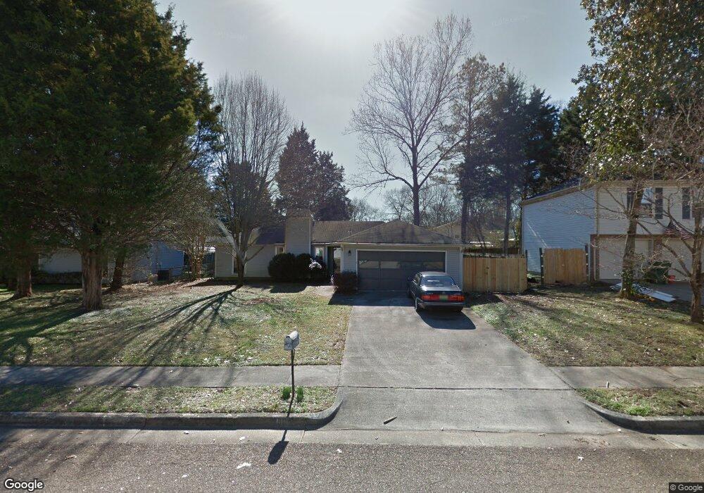
1012 Sharpsburg Dr SE Huntsville, AL 35803
Estimated Value: $251,657 - $268,000
3
Beds
2
Baths
1,400
Sq Ft
$188/Sq Ft
Est. Value
About This Home
This home is located at 1012 Sharpsburg Dr SE, Huntsville, AL 35803 and is currently estimated at $262,664, approximately $187 per square foot. 1012 Sharpsburg Dr SE is a home located in Madison County with nearby schools including Mountain Gap Elementary School, Mt. Gap Middle School, and Virgil Grissom High School.
Ownership History
Date
Name
Owned For
Owner Type
Purchase Details
Closed on
Feb 17, 2017
Sold by
Robinson R Keith
Bought by
Chandler Jeanne P
Current Estimated Value
Home Financials for this Owner
Home Financials are based on the most recent Mortgage that was taken out on this home.
Original Mortgage
$118,902
Outstanding Balance
$98,446
Interest Rate
4.2%
Mortgage Type
New Conventional
Estimated Equity
$164,218
Create a Home Valuation Report for This Property
The Home Valuation Report is an in-depth analysis detailing your home's value as well as a comparison with similar homes in the area
Home Values in the Area
Average Home Value in this Area
Purchase History
| Date | Buyer | Sale Price | Title Company |
|---|---|---|---|
| Chandler Jeanne P | $125,160 | None Available |
Source: Public Records
Mortgage History
| Date | Status | Borrower | Loan Amount |
|---|---|---|---|
| Open | Chandler Jeanne P | $118,902 |
Source: Public Records
Tax History Compared to Growth
Tax History
| Year | Tax Paid | Tax Assessment Tax Assessment Total Assessment is a certain percentage of the fair market value that is determined by local assessors to be the total taxable value of land and additions on the property. | Land | Improvement |
|---|---|---|---|---|
| 2024 | -- | $18,520 | $4,260 | $14,260 |
| 2023 | $0 | $18,040 | $4,260 | $13,780 |
| 2022 | $755 | $15,720 | $3,500 | $12,220 |
| 2021 | $0 | $13,220 | $2,760 | $10,460 |
| 2020 | $645 | $12,960 | $2,500 | $10,460 |
| 2019 | $626 | $12,580 | $2,500 | $10,080 |
| 2018 | $623 | $12,520 | $0 | $0 |
| 2017 | $720 | $12,420 | $0 | $0 |
| 2016 | $720 | $12,420 | $0 | $0 |
| 2015 | $720 | $12,420 | $0 | $0 |
| 2014 | $693 | $11,940 | $0 | $0 |
Source: Public Records
Map
Nearby Homes
- 1029 Shiloh St
- 13019 Branscomb Rd SE
- 703 Shirley Ct SE
- 1020 Branscomb Cir SE
- 12002 Ashton Rd SE
- 1111 Lyngate Dr SE
- 1107 Kinsey Dr SE
- 10115 Bluff Dr SE
- 725 Mountain Gap Rd SE
- 11019 Everest Cir SE
- 10205 Todd Mill Rd SE
- Lot 9 Valley Vista Dr
- 12012 Huntcliff Rd SE
- 1210 Maebeth Cir SE
- 2700 Porch Swing Place
- 1208 Teenajo Dr SE
- 10136 Skylark Dr SE
- 10132 Skylark Dr SE
- 2506 Wynterhall Rd SE
- 15009 Glory Dr SE
- 1010 Sharpsburg Dr SE
- 1014 Sharpsburg Dr SE
- 1017 Antietam Rd SE
- 1019 Antietam Rd SE
- 1015 Antietam Rd SE
- 1008 Sharpsburg Dr SE
- 1016 Sharpsburg Dr SE
- 1013 Sharpsburg Dr SE
- 1015 Sharpsburg Dr SE
- 1013 Antietam Rd SE
- 1011 Sharpsburg Dr SE
- 1021 Antietam Rd SE
- 1009 Sharpsburg Dr SE
- 1006 Sharpsburg Dr SE
- 1018 Sharpsburg Dr SE
- 1017 Sharpsburg Dr SE
- 1011 Antietam Rd SE
- 1023 Antietam Rd SE
- 1019 Sharpsburg Dr SE
- 1007 Sharpsburg Dr SE