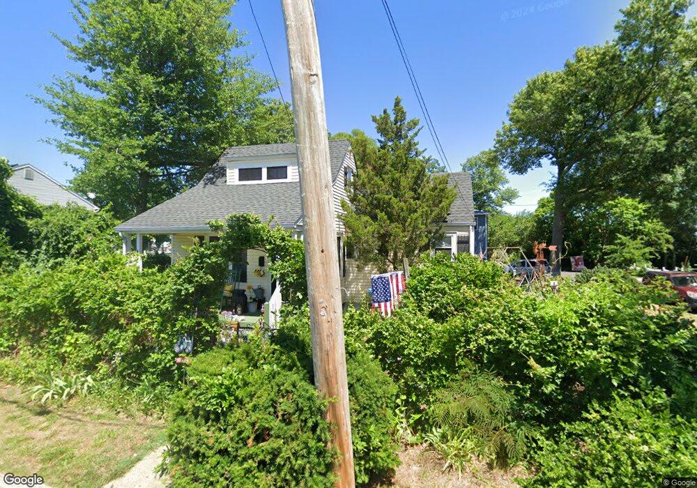
1012 Shore Rd Keyport, NJ 07735
Estimated Value: $315,000 - $644,000
2
Beds
1
Bath
886
Sq Ft
$481/Sq Ft
Est. Value
About This Home
This home is located at 1012 Shore Rd, Keyport, NJ 07735 and is currently estimated at $425,774, approximately $480 per square foot. 1012 Shore Rd is a home located in Monmouth County with nearby schools including Memorial School and Baytul-Iman Academy.
Ownership History
Date
Name
Owned For
Owner Type
Purchase Details
Closed on
Jan 19, 2022
Sold by
Cohen and Viviana
Bought by
Esperias Nestor O and Medellin Maritsa O
Current Estimated Value
Purchase Details
Closed on
Aug 27, 2021
Sold by
Goldheimer Alan and Goldheimer Sheri
Bought by
Salica Michael J and Salica Christine
Home Financials for this Owner
Home Financials are based on the most recent Mortgage that was taken out on this home.
Original Mortgage
$380,000
Interest Rate
2.8%
Mortgage Type
New Conventional
Purchase Details
Closed on
May 30, 2006
Sold by
Bailey Joseph
Bought by
Bailey Charlotte L
Create a Home Valuation Report for This Property
The Home Valuation Report is an in-depth analysis detailing your home's value as well as a comparison with similar homes in the area
Home Values in the Area
Average Home Value in this Area
Purchase History
| Date | Buyer | Sale Price | Title Company |
|---|---|---|---|
| Esperias Nestor O | $520,000 | Chicago Title | |
| Esperias Nestor O | $520,000 | Chicago Title | |
| Salica Michael J | $725,000 | Exclusive Title Services | |
| Bailey Charlotte L | -- | -- |
Source: Public Records
Mortgage History
| Date | Status | Borrower | Loan Amount |
|---|---|---|---|
| Previous Owner | Salica Michael J | $380,000 |
Source: Public Records
Tax History Compared to Growth
Tax History
| Year | Tax Paid | Tax Assessment Tax Assessment Total Assessment is a certain percentage of the fair market value that is determined by local assessors to be the total taxable value of land and additions on the property. | Land | Improvement |
|---|---|---|---|---|
| 2025 | $6,361 | $343,700 | $224,100 | $119,600 |
| 2024 | $5,988 | $308,500 | $194,800 | $113,700 |
| 2023 | $5,988 | $279,800 | $169,400 | $110,400 |
| 2022 | $4,375 | $235,800 | $135,600 | $100,200 |
| 2021 | $4,375 | $202,300 | $123,300 | $79,000 |
| 2020 | $4,876 | $193,800 | $120,000 | $73,800 |
| 2019 | $4,781 | $185,400 | $115,000 | $70,400 |
| 2018 | $4,515 | $168,300 | $100,000 | $68,300 |
| 2017 | $4,926 | $176,500 | $97,000 | $79,500 |
| 2016 | $4,878 | $174,900 | $97,000 | $77,900 |
| 2015 | $4,390 | $169,400 | $95,000 | $74,400 |
| 2014 | $4,039 | $129,100 | $83,500 | $45,600 |
Source: Public Records
Map
Nearby Homes
- 641 Morningside Ave
- 1217 Union Ave
- 631 Sydney Ave
- 904 Central Ave
- 628 Morningside Ave
- 1319 Union Ave
- 715 Park Ave
- 602 Union Ave
- 825 Lorillard Ave
- 650 Washington Ave
- 1213 Highway 36
- 709 Lorillard Ave
- 412 Union Ave
- 521 Columbia Ave
- 535 Lorillard Ave
- 725 Prospect Ave
- 525 Washington Ave
- 51 Sams Trailer Ct
- 814 Brook Ave
- 425 Clark Ave
- 801 Sydney Ave
- 1004 Shore Rd
- 804 Cambridge Ave
- 1104 Shore Rd
- 1009 Shore Rd
- 1005 Shore Rd
- 716 Sydney Ave
- 808 Cambridge Ave
- 1106 Shore Rd
- 1106 Shore Rd
- 910 Shore Rd
- 714 Cambridge Ave
- 711 Sydney Ave
- 805 Cambridge Ave
- 812 Cambridge Ave
- 911 Shore Rd
- 1109 Shore Rd
- 809 Cambridge Ave
- 714 Sydney Ave
- 906 Shore Rd