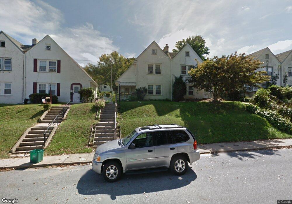
1012 Walnut St Coatesville, PA 19320
Estimated Value: $176,000 - $282,000
3
Beds
1
Bath
1,380
Sq Ft
$175/Sq Ft
Est. Value
About This Home
This home is located at 1012 Walnut St, Coatesville, PA 19320 and is currently estimated at $241,740, approximately $175 per square foot. 1012 Walnut St is a home located in Chester County with nearby schools including Caln Elementary School, Coatesville Intermediate High School, and Coatesville Area Senior High School.
Ownership History
Date
Name
Owned For
Owner Type
Purchase Details
Closed on
Oct 26, 2001
Sold by
Gibson Bob and Campbell Hope
Bought by
Gibson Robert T and Gibson Hope D
Current Estimated Value
Home Financials for this Owner
Home Financials are based on the most recent Mortgage that was taken out on this home.
Original Mortgage
$87,031
Outstanding Balance
$34,141
Interest Rate
6.77%
Mortgage Type
FHA
Estimated Equity
$207,599
Purchase Details
Closed on
Aug 31, 1999
Sold by
Hannum Dennis L and Congialdi Mary Ann
Bought by
Gibson Bob and Campbell Hope
Home Financials for this Owner
Home Financials are based on the most recent Mortgage that was taken out on this home.
Original Mortgage
$88,300
Interest Rate
7.5%
Mortgage Type
FHA
Create a Home Valuation Report for This Property
The Home Valuation Report is an in-depth analysis detailing your home's value as well as a comparison with similar homes in the area
Home Values in the Area
Average Home Value in this Area
Purchase History
| Date | Buyer | Sale Price | Title Company |
|---|---|---|---|
| Gibson Robert T | -- | First American Title Ins Co | |
| Gibson Bob | $88,400 | Fidelity National Title Ins |
Source: Public Records
Mortgage History
| Date | Status | Borrower | Loan Amount |
|---|---|---|---|
| Open | Gibson Robert T | $87,031 | |
| Closed | Gibson Bob | $88,300 |
Source: Public Records
Tax History Compared to Growth
Tax History
| Year | Tax Paid | Tax Assessment Tax Assessment Total Assessment is a certain percentage of the fair market value that is determined by local assessors to be the total taxable value of land and additions on the property. | Land | Improvement |
|---|---|---|---|---|
| 2025 | $4,958 | $82,460 | $20,750 | $61,710 |
| 2024 | $4,958 | $82,460 | $20,750 | $61,710 |
| 2023 | $4,909 | $82,460 | $20,750 | $61,710 |
| 2022 | $4,783 | $82,460 | $20,750 | $61,710 |
| 2021 | $4,660 | $82,460 | $20,750 | $61,710 |
| 2020 | $4,645 | $82,460 | $20,750 | $61,710 |
| 2019 | $4,526 | $82,460 | $20,750 | $61,710 |
| 2018 | $4,374 | $82,460 | $20,750 | $61,710 |
| 2017 | $4,254 | $82,460 | $20,750 | $61,710 |
| 2016 | $3,246 | $82,460 | $20,750 | $61,710 |
| 2015 | $3,246 | $82,460 | $20,750 | $61,710 |
| 2014 | $3,246 | $82,460 | $20,750 | $61,710 |
Source: Public Records
Map
Nearby Homes
- 826 Stirling St
- 824 Stirling St
- 69 Palmer Ave
- 124 Chester Ave
- 1050 Wayne Ave
- 440 Oak St
- 901 Merchant St Unit 60
- 622 Walnut St
- 1263 E Diamond St
- 298 N Chester Ave
- 420 Glendale Ave
- 499 Prospect Ave
- 65 Lukens Mill Dr Unit 154
- 215 Kennedy Dr
- 213 Kennedy Dr
- 111 Lukens Mill Dr Unit 50
- 43 S 5th Ave
- 100 S 5th Ave
- 420 Lincoln Hwy E
- 209 Kendig Ln