10120 Easterday Ct Hagerstown, MD 21742
Mount Aetna NeighborhoodEstimated Value: $682,000 - $835,047
Studio
1
Bath
3,656
Sq Ft
$207/Sq Ft
Est. Value
About This Home
This home is located at 10120 Easterday Ct, Hagerstown, MD 21742 and is currently estimated at $758,524, approximately $207 per square foot. 10120 Easterday Ct is a home located in Washington County with nearby schools including Old Forge Elementary School, Smithsburg Middle School, and Smithsburg High School.
Ownership History
Date
Name
Owned For
Owner Type
Purchase Details
Closed on
May 10, 2011
Sold by
Easterday Todd E
Bought by
Sherman Rodney W and Sherman Darlene L
Current Estimated Value
Purchase Details
Closed on
Mar 10, 2006
Sold by
Easterday Todd E
Bought by
Sherman Rodney W and Sherman Darlene L
Purchase Details
Closed on
Mar 6, 2006
Sold by
Easterday Todd E
Bought by
Sherman Rodney W and Sherman Darlene L
Create a Home Valuation Report for This Property
The Home Valuation Report is an in-depth analysis detailing your home's value as well as a comparison with similar homes in the area
Home Values in the Area
Average Home Value in this Area
Purchase History
| Date | Buyer | Sale Price | Title Company |
|---|---|---|---|
| Sherman Rodney W | $30,375 | -- | |
| Sherman Rodney W | $165,000 | -- | |
| Sherman Rodney W | $165,000 | -- |
Source: Public Records
Mortgage History
| Date | Status | Borrower | Loan Amount |
|---|---|---|---|
| Closed | Sherman Rodney W | -- |
Source: Public Records
Tax History
| Year | Tax Paid | Tax Assessment Tax Assessment Total Assessment is a certain percentage of the fair market value that is determined by local assessors to be the total taxable value of land and additions on the property. | Land | Improvement |
|---|---|---|---|---|
| 2025 | $5,603 | $645,033 | $0 | $0 |
| 2024 | $5,603 | $558,400 | $124,500 | $433,900 |
| 2023 | $5,299 | $524,567 | $0 | $0 |
| 2022 | $5,039 | $490,733 | $0 | $0 |
| 2021 | $4,709 | $456,900 | $124,500 | $332,400 |
| 2020 | $4,709 | $440,533 | $0 | $0 |
| 2019 | $4,556 | $424,167 | $0 | $0 |
| 2018 | $4,383 | $407,800 | $120,200 | $287,600 |
| 2017 | $4,383 | $407,800 | $0 | $0 |
| 2016 | -- | $407,800 | $0 | $0 |
| 2015 | $1,295 | $452,900 | $0 | $0 |
| 2014 | $1,295 | $111,700 | $0 | $0 |
Source: Public Records
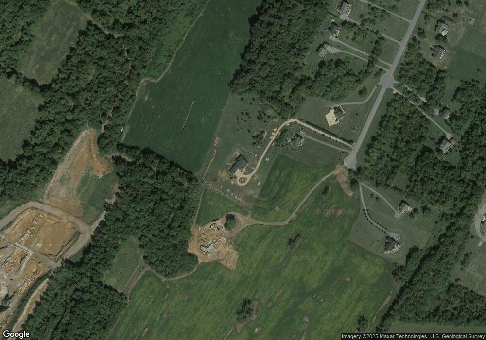
Map
Nearby Homes
- 10110 Easterday Ct
- 4.44+/- Acres Crystal Falls Dr
- 9508 Stottlemyer Rd
- 9529 Childacrest Dr
- 21641 Ridenour Rd
- 9812 Pembroke Dr
- 20406 Trout Dr
- 20767 Beaver Creek Rd
- 0 Cool Hollow Rd
- 20315 Beaver Creek Rd
- 8907 Crystal Falls Dr
- 21328 Mount Lena Rd
- 8807 Crystal Falls Dr
- 9947 Crossfield Rd
- 11029 Plumwood Cir
- 20204 Plumwood Dr
- 342 Landis Rd
- 21457 Greenbrier Rd
- 11504 Rambling Pines Place
- 11110 Mahogany Dr
- 10116 Easterday Ct
- 10202 Easterday Ct E
- 10204 Easterday Ct
- 10311 Cannon Forge Ln
- 10208 Easterday Ct
- 10212 Easterday Ct
- 10119 Easterday Ct
- 10115 Easterday Ct
- 10216 Easterday Ct
- 10111 Easterday Ct
- 10331 Mapleville Rd
- 10205 Easterday Ct
- 10220 Easterday Ct
- 10209 Easterday Ct
- 10215 Easterday Ct
- 10224 Easterday Ct
- 10219 Easterday Ct
- 10228 Easterday Ct
- 10225 Easterday Ct
- 10232 Easterday Ct
Your Personal Tour Guide
Ask me questions while you tour the home.