10120 Link Ct Alpharetta, GA 30022
Estimated Value: $814,088 - $1,345,000
4
Beds
5
Baths
4,024
Sq Ft
$265/Sq Ft
Est. Value
About This Home
This home is located at 10120 Link Ct, Alpharetta, GA 30022 and is currently estimated at $1,065,772, approximately $264 per square foot. 10120 Link Ct is a home located in Fulton County with nearby schools including State Bridge Crossing Elementary School, Autrey Mill Middle School, and Johns Creek High School.
Ownership History
Date
Name
Owned For
Owner Type
Purchase Details
Closed on
Oct 31, 2011
Sold by
Kramer Karin C
Bought by
Nelson Gary
Current Estimated Value
Purchase Details
Closed on
Oct 5, 2005
Sold by
Watkins Nancy R
Bought by
Kramer Mark D and Kramer Karin C
Home Financials for this Owner
Home Financials are based on the most recent Mortgage that was taken out on this home.
Original Mortgage
$285,000
Interest Rate
5.88%
Mortgage Type
New Conventional
Create a Home Valuation Report for This Property
The Home Valuation Report is an in-depth analysis detailing your home's value as well as a comparison with similar homes in the area
Home Values in the Area
Average Home Value in this Area
Purchase History
| Date | Buyer | Sale Price | Title Company |
|---|---|---|---|
| Nelson Gary | $442,000 | -- | |
| Kramer Mark D | $485,000 | -- |
Source: Public Records
Mortgage History
| Date | Status | Borrower | Loan Amount |
|---|---|---|---|
| Previous Owner | Kramer Mark D | $285,000 |
Source: Public Records
Tax History Compared to Growth
Tax History
| Year | Tax Paid | Tax Assessment Tax Assessment Total Assessment is a certain percentage of the fair market value that is determined by local assessors to be the total taxable value of land and additions on the property. | Land | Improvement |
|---|---|---|---|---|
| 2025 | $3,156 | $90,560 | $15,480 | $75,080 |
| 2023 | $2,968 | $105,160 | $15,480 | $89,680 |
| 2022 | $9,417 | $306,880 | $98,240 | $208,640 |
| 2021 | $5,878 | $186,560 | $57,360 | $129,200 |
| 2020 | $5,934 | $184,360 | $56,680 | $127,680 |
| 2019 | $0 | $187,680 | $57,760 | $129,920 |
| 2018 | $5,969 | $183,280 | $56,400 | $126,880 |
| 2017 | $4,589 | $134,840 | $27,240 | $107,600 |
| 2016 | $4,523 | $134,840 | $27,240 | $107,600 |
| 2015 | $4,573 | $134,840 | $27,240 | $107,600 |
| 2014 | $4,755 | $134,840 | $27,240 | $107,600 |
Source: Public Records
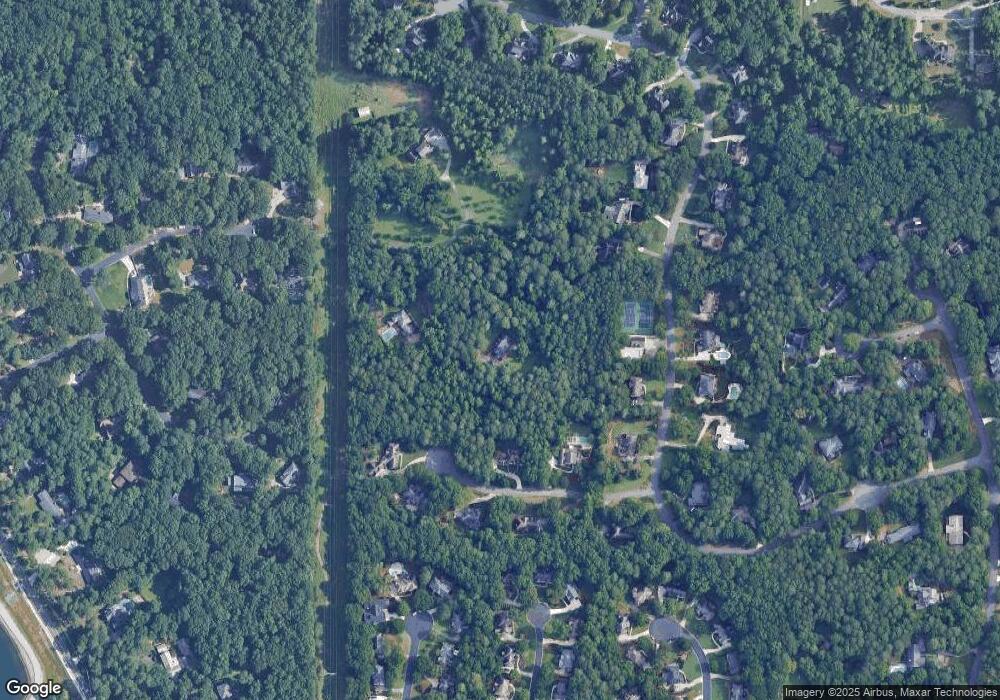
Map
Nearby Homes
- 720 Buttercup Trace
- 455 Oak Laurel Ct
- 9950 Farmbrook Ln
- 10265 Minion Ct Unit 27
- 10281 Midway Ave
- 10296 Quadrant Ct Unit 76
- 230 Skidaway Ct
- 5170 Cameron Forest Pkwy
- 170 Autry Trail
- 10570 Bridgemor Dr
- 5255 Buice Rd
- 504 Winston Croft Cir Unit 54
- 510 Winston Croft Cir Unit 56
- 512 Winston Croft Cir Unit 57
- 230 Pinebridge Ct
- 1007 Crown Oak St Unit 45
- 1011 Crown Oak St Unit 47
- 1003 Crown Oak St Unit 43
- 1005 Crown Oak St Unit 44
- 10130 Link Ct
- 825 Dewfield Ct Unit 5
- 815 Dewfield Ct Unit 5
- 700 Buttercup Trace
- 690 Buttercup Trace
- 710 Buttercup Trace
- 0 Dewfield Ct Unit 8338178
- 0 Dewfield Ct Unit 7132408
- 0 Dewfield Ct
- 680 Buttercup Trace
- 840 Dewfield Ct
- 820 Dewfield Ct
- 810 Dewfield Ct Unit 49
- 810 Dewfield Ct
- 830 Dewfield Ct
- 10180 Link Ct
- 685 Buttercup Trace
- 445 Link Rd
- 730 Buttercup Trace
- 230 Link Ct