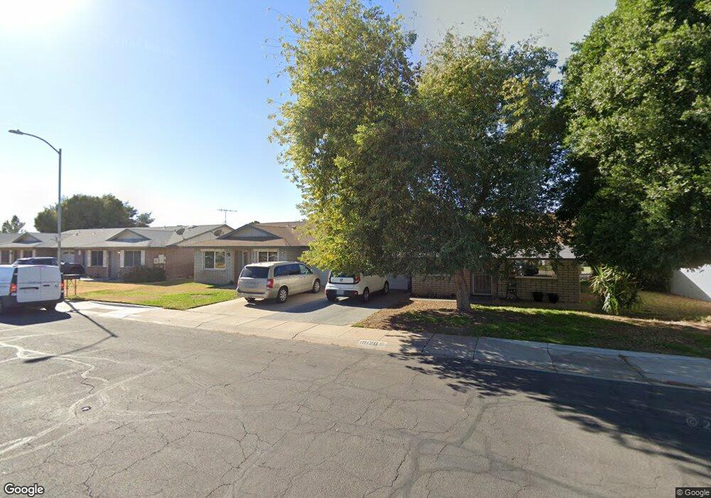
10120 N 95th Dr Unit A Peoria, AZ 85345
Estimated Value: $215,786 - $244,000
--
Bed
2
Baths
1,216
Sq Ft
$192/Sq Ft
Est. Value
About This Home
This home is located at 10120 N 95th Dr Unit A, Peoria, AZ 85345 and is currently estimated at $233,697, approximately $192 per square foot. 10120 N 95th Dr Unit A is a home located in Maricopa County with nearby schools including Sun Valley Elementary School, Raymond S. Kellis, and Ombudsman - Northwest Charter.
Ownership History
Date
Name
Owned For
Owner Type
Purchase Details
Closed on
Jul 6, 2022
Sold by
Crocker Charles T
Bought by
Charles Terry Crocker Revocable Trust
Current Estimated Value
Purchase Details
Closed on
May 7, 2007
Sold by
Pace Alan K
Bought by
Crocker Charles T
Home Financials for this Owner
Home Financials are based on the most recent Mortgage that was taken out on this home.
Original Mortgage
$102,800
Interest Rate
6.14%
Mortgage Type
New Conventional
Purchase Details
Closed on
Feb 21, 2007
Sold by
Lyons Margaret
Bought by
Pace Alan
Create a Home Valuation Report for This Property
The Home Valuation Report is an in-depth analysis detailing your home's value as well as a comparison with similar homes in the area
Home Values in the Area
Average Home Value in this Area
Purchase History
| Date | Buyer | Sale Price | Title Company |
|---|---|---|---|
| Charles Terry Crocker Revocable Trust | -- | None Listed On Document | |
| Crocker Charles T | $128,500 | Magnus Title Agency | |
| Pace Alan | $102,000 | Magnus Title Agency |
Source: Public Records
Mortgage History
| Date | Status | Borrower | Loan Amount |
|---|---|---|---|
| Previous Owner | Crocker Charles T | $102,800 |
Source: Public Records
Tax History Compared to Growth
Tax History
| Year | Tax Paid | Tax Assessment Tax Assessment Total Assessment is a certain percentage of the fair market value that is determined by local assessors to be the total taxable value of land and additions on the property. | Land | Improvement |
|---|---|---|---|---|
| 2025 | $642 | $6,867 | -- | -- |
| 2024 | $527 | $6,540 | -- | -- |
| 2023 | $527 | $18,160 | $3,630 | $14,530 |
| 2022 | $516 | $14,320 | $2,860 | $11,460 |
| 2021 | $552 | $12,430 | $2,480 | $9,950 |
| 2020 | $557 | $11,580 | $2,310 | $9,270 |
| 2019 | $539 | $10,200 | $2,040 | $8,160 |
| 2018 | $521 | $8,330 | $1,660 | $6,670 |
| 2017 | $522 | $6,900 | $1,380 | $5,520 |
| 2016 | $516 | $6,280 | $1,250 | $5,030 |
| 2015 | $482 | $6,330 | $1,260 | $5,070 |
Source: Public Records
Map
Nearby Homes
- 10127 N 95th Dr Unit A
- 10134 N 97th Ave Unit B
- 9616 W Mountain View Rd Unit A
- 10226 N 93rd Dr
- 9564 W Purdue Ave
- 10018 N 97th Dr Unit A
- 10245 N 93rd Dr
- 9627 W North Ln Unit B
- 9653 W Purdue Ave
- 9243 W Brown St
- 9721 W Mountain View Rd
- 9717 W Purdue Ave
- 10201 N 99th Ave Unit 32A
- 10201 N 99th Ave Unit 46
- 10201 N 99th Ave Unit 44
- 10201 N 99th Ave Unit 97
- 10201 N 99th Ave Unit 34
- 10201 N 99th Ave Unit 28A
- 10201 N 99th Ave Unit 49
- 10201 N 99th Ave Unit 129E
- 10120 N 95th Dr Unit B
- 10114 N 95th Dr
- 10114 N 95th Dr Unit B
- 10114 N 95th Dr Unit A
- 10128 N 95th Dr Unit A
- 10128 N 95th Dr Unit B
- 10119 N 96th Ave Unit A
- 10119 N 96th Ave Unit B
- 10123 N 96th Ave Unit B
- 10123 N 96th Ave Unit A
- 10113 N 96th Ave Unit B
- 10113 N 96th Ave Unit A
- 10136 N 95th Dr Unit A
- 10127 N 95th Dr Unit B
- 10127 N 95th Dr
- 10119 N 95th Dr
- 10119 N 95th Dr Unit B
- 10119 N 95th Dr Unit A
- 10108 N 95th Dr Unit B
- 10131 N 96th Ave