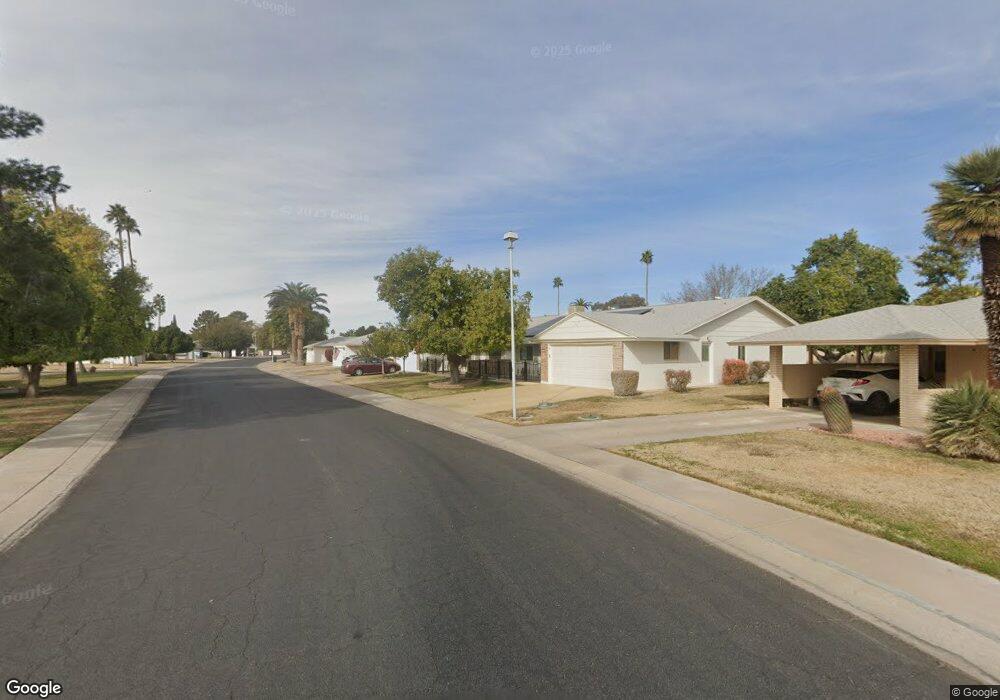
10120 W Forrester Dr Unit 112 Sun City, AZ 85351
Estimated Value: $228,975 - $288,000
--
Bed
2
Baths
1,660
Sq Ft
$164/Sq Ft
Est. Value
About This Home
This home is located at 10120 W Forrester Dr Unit 112, Sun City, AZ 85351 and is currently estimated at $271,744, approximately $163 per square foot. 10120 W Forrester Dr Unit 112 is a home located in Maricopa County with nearby schools including Desert Mirage Elementary School, Ombudsman - Northwest Charter, and Arrowhead Montessori.
Ownership History
Date
Name
Owned For
Owner Type
Purchase Details
Closed on
Jan 19, 2010
Sold by
Stockton Marie Elaina
Bought by
J Vasa Properties Llc
Current Estimated Value
Purchase Details
Closed on
Jul 14, 1997
Sold by
Meyer Fredric H
Bought by
Vasapollo Josephine
Purchase Details
Closed on
Jul 11, 1997
Sold by
Meyer Daniel H
Bought by
Vasapollo Josephine
Create a Home Valuation Report for This Property
The Home Valuation Report is an in-depth analysis detailing your home's value as well as a comparison with similar homes in the area
Home Values in the Area
Average Home Value in this Area
Purchase History
| Date | Buyer | Sale Price | Title Company |
|---|---|---|---|
| J Vasa Properties Llc | -- | None Available | |
| Vasapollo Josephine | $89,000 | First American Title | |
| Vasapollo Josephine | $89,000 | First American Title | |
| Vasapollo Josephine | $89,000 | First American Title |
Source: Public Records
Tax History Compared to Growth
Tax History
| Year | Tax Paid | Tax Assessment Tax Assessment Total Assessment is a certain percentage of the fair market value that is determined by local assessors to be the total taxable value of land and additions on the property. | Land | Improvement |
|---|---|---|---|---|
| 2025 | $988 | $12,229 | -- | -- |
| 2024 | $891 | $11,647 | -- | -- |
| 2023 | $891 | $19,980 | $3,990 | $15,990 |
| 2022 | $838 | $17,460 | $3,490 | $13,970 |
| 2021 | $866 | $15,880 | $3,170 | $12,710 |
| 2020 | $843 | $14,150 | $2,830 | $11,320 |
| 2019 | $831 | $13,630 | $2,720 | $10,910 |
| 2018 | $800 | $12,120 | $2,420 | $9,700 |
| 2017 | $773 | $10,730 | $2,140 | $8,590 |
| 2016 | $724 | $8,820 | $1,760 | $7,060 |
| 2015 | $693 | $8,470 | $1,690 | $6,780 |
Source: Public Records
Map
Nearby Homes
- 10112 W Forrester Dr
- 13410 N Cedar Dr Unit 20
- 10127 W Forrester Dr
- 10114 W Candlewood Dr
- 13620 N Hawthorn Dr
- 13614 N Hawthorn Dr
- 10134 W Forrester Dr
- 10137 W Forrester Dr Unit 20
- 10114 W Royal Oak Rd Unit 20
- 13442 N Emberwood Dr
- 13606 N Redwood Dr Unit 209
- 13433 N Emberwood Dr
- 13636 N Redwood Dr Unit 203
- 13605 N Redwood Dr
- 10012 W Bolivar Dr
- 13420 N Emberwood Dr
- 10040 W Royal Oak Rd Unit B
- 10040 W Royal Oak Rd Unit H
- 13067 N 100th Dr
- 10030 W Royal Oak Rd Unit C
- 10118 W Forrester Dr
- 10122 W Forrester Dr Unit 113
- 10116 W Forrester Dr
- 10113 W Bolivar Dr Unit 167
- 10124 W Forrester Dr
- 10117 W Bolivar Dr
- 13415 N Cedar Dr Unit 20
- 10119 W Bolivar Dr
- 10114 W Forrester Dr
- 10126 W Forrester Dr Unit 20
- 13413 N Cedar Dr Unit 95
- 10111 W Forrester Dr Unit 97
- 10101 W Bolivar Dr
- 10121 W Bolivar Dr
- 10125 W Forrester Dr
- 10128 W Forrester Dr
- 13636 N Emberwood Dr
- 13411 N Cedar Dr
- 10109 W Forrester Dr
- 10125 W Bolivar Dr