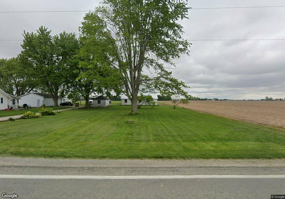
10121 W State Route 718 Covington, OH 45318
Estimated Value: $330,000 - $584,000
3
Beds
1
Bath
1,987
Sq Ft
$206/Sq Ft
Est. Value
About This Home
This home is located at 10121 W State Route 718, Covington, OH 45318 and is currently estimated at $408,541, approximately $205 per square foot. 10121 W State Route 718 is a home located in Miami County with nearby schools including Newton Elementary School and Newton High School.
Ownership History
Date
Name
Owned For
Owner Type
Purchase Details
Closed on
Jun 27, 2014
Sold by
Westfall James L and Westfall Treva G
Bought by
Westfall James L
Current Estimated Value
Purchase Details
Closed on
Jul 5, 2011
Sold by
Noll Ryan L and Noll Megan M
Bought by
Westfall James L and Westfall Treva G
Home Financials for this Owner
Home Financials are based on the most recent Mortgage that was taken out on this home.
Original Mortgage
$310,801
Outstanding Balance
$121,273
Interest Rate
4.56%
Mortgage Type
Unknown
Estimated Equity
$287,268
Purchase Details
Closed on
Jul 1, 2011
Sold by
Noll Ryan L and Noll Megan M
Bought by
Westfall James L and Westfall Treva G
Home Financials for this Owner
Home Financials are based on the most recent Mortgage that was taken out on this home.
Original Mortgage
$310,801
Outstanding Balance
$121,273
Interest Rate
4.56%
Mortgage Type
Unknown
Estimated Equity
$287,268
Purchase Details
Closed on
Oct 9, 1992
Bought by
Noll Gloria Louise
Create a Home Valuation Report for This Property
The Home Valuation Report is an in-depth analysis detailing your home's value as well as a comparison with similar homes in the area
Home Values in the Area
Average Home Value in this Area
Purchase History
| Date | Buyer | Sale Price | Title Company |
|---|---|---|---|
| Westfall James L | -- | Attorney | |
| Westfall James L | $158,000 | -- | |
| Westfall James L | $158,000 | -- | |
| Noll Gloria Louise | -- | -- |
Source: Public Records
Mortgage History
| Date | Status | Borrower | Loan Amount |
|---|---|---|---|
| Open | Westfall James L | $310,801 | |
| Closed | Westfall James L | $310,801 |
Source: Public Records
Tax History Compared to Growth
Tax History
| Year | Tax Paid | Tax Assessment Tax Assessment Total Assessment is a certain percentage of the fair market value that is determined by local assessors to be the total taxable value of land and additions on the property. | Land | Improvement |
|---|---|---|---|---|
| 2024 | $2,469 | $65,860 | $15,460 | $50,400 |
| 2023 | $2,469 | $65,860 | $15,460 | $50,400 |
| 2022 | $2,508 | $65,860 | $15,460 | $50,400 |
| 2021 | $2,252 | $55,370 | $13,370 | $42,000 |
| 2020 | $2,259 | $55,370 | $13,370 | $42,000 |
| 2019 | $2,116 | $55,370 | $13,370 | $42,000 |
| 2018 | $1,755 | $45,930 | $16,110 | $29,820 |
| 2017 | $1,771 | $45,930 | $16,110 | $29,820 |
| 2016 | $1,752 | $45,930 | $16,110 | $29,820 |
| 2015 | $1,808 | $43,130 | $14,460 | $28,670 |
| 2014 | $1,808 | $43,130 | $14,460 | $28,670 |
| 2013 | $1,826 | $43,130 | $14,460 | $28,670 |
Source: Public Records
Map
Nearby Homes
- 9980 Ohio 718
- 0 N Furlong Rd
- 120 Piper's Pine Dr
- 120 Pipers Pine Dr
- State Route 48
- 115 W Hill St
- 106 W Hill St
- 1 N Main St
- 201 E High St
- 0 Neff Rd
- 203 Chestnut St
- 8341 W Covington Gettysburg Rd
- 5225 N Front St
- 200 Charles Ct
- 221 Henry Ct
- 219 Henry Ct
- 202 Charles Ct
- 201 Charles Ct
- 203 Charles Ct
- 205 Charles Ct
- 10102 Ohio 718
- 9980 W State Route 718
- 10250 State Route 718
- 10365 State Route 718
- 9820 W State Route 718
- 10365 Ohio 718
- 9835 W State Route 718
- 670 N Shiloh Rd
- 1192 Leonard Rd
- 1045 Leonard Rd
- 1005 Leonard Rd
- 1005 N Leonard Rd
- 955 Harshbarger Rd
- 9710 W State Route 718
- 1091 Leonard Rd
- 9693 W State Route 718
- 599 N Shiloh Rd
- 10609 State Route 718
- 9637 W State Route 718
- 9500 W State Route 718