10122 County Road 1470 Apache, OK 73006
Estimated Value: $175,000 - $288,000
3
Beds
1
Bath
2,484
Sq Ft
$92/Sq Ft
Est. Value
About This Home
This home is located at 10122 County Road 1470, Apache, OK 73006 and is currently estimated at $228,445, approximately $91 per square foot. 10122 County Road 1470 is a home with nearby schools including Apache Elementary School, Apache Middle School, and Apache High School.
Ownership History
Date
Name
Owned For
Owner Type
Purchase Details
Closed on
Sep 11, 2024
Sold by
Parker Gavan Anderson and Parker Jeana Kim
Bought by
Parker Family Trust and Parker
Current Estimated Value
Purchase Details
Closed on
Mar 27, 2024
Sold by
James H Myers H and James Linda L
Bought by
Parker Gavan Anderson and Parker Jeana Kim
Purchase Details
Closed on
May 16, 2011
Sold by
Myers James H and Myers Linda L
Bought by
Myers James H
Purchase Details
Closed on
Nov 12, 2010
Sold by
Jump Delbert L and Jump Juanita
Bought by
Myers Linda Lee
Create a Home Valuation Report for This Property
The Home Valuation Report is an in-depth analysis detailing your home's value as well as a comparison with similar homes in the area
Home Values in the Area
Average Home Value in this Area
Purchase History
| Date | Buyer | Sale Price | Title Company |
|---|---|---|---|
| Parker Family Trust | $16,000 | None Listed On Document | |
| Parker Gavan Anderson | $244,000 | Old Republic Title | |
| Myers James H | -- | -- | |
| Myers Linda Lee | -- | -- |
Source: Public Records
Tax History Compared to Growth
Tax History
| Year | Tax Paid | Tax Assessment Tax Assessment Total Assessment is a certain percentage of the fair market value that is determined by local assessors to be the total taxable value of land and additions on the property. | Land | Improvement |
|---|---|---|---|---|
| 2025 | $1,623 | $18,097 | $1,052 | $17,045 |
| 2024 | $1,624 | $17,570 | $1,052 | $16,518 |
| 2023 | $1,616 | $17,059 | $1,052 | $16,007 |
| 2022 | $1,425 | $16,562 | $1,052 | $15,510 |
| 2021 | $1,746 | $16,079 | $1,052 | $15,027 |
| 2020 | $1,468 | $15,611 | $1,052 | $14,559 |
| 2019 | $1,445 | $15,157 | $1,052 | $14,105 |
| 2018 | $1,513 | $14,715 | $1,052 | $13,663 |
| 2017 | $1,390 | $14,287 | $1,052 | $13,235 |
| 2016 | $1,368 | $13,830 | $1,052 | $12,778 |
| 2015 | $987 | $13,427 | $1,052 | $12,375 |
| 2014 | $993 | $13,036 | $1,052 | $11,984 |
Source: Public Records
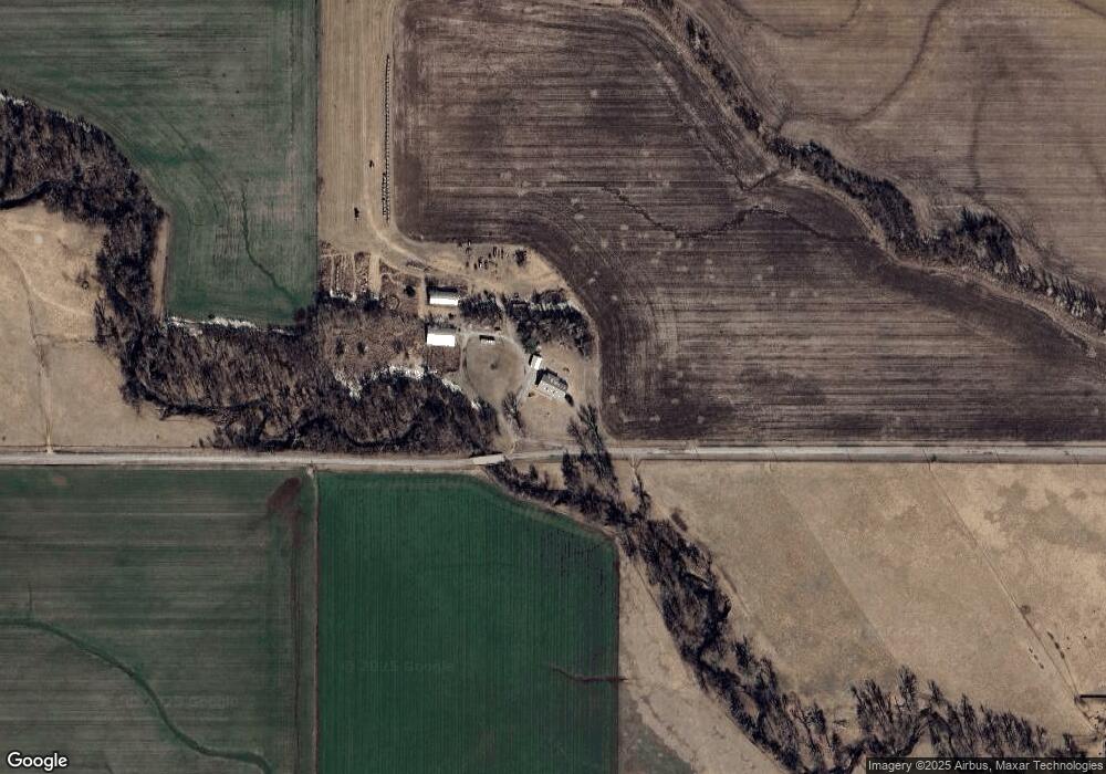
Map
Nearby Homes
- 1430
- TBD 2580
- TBD Edgewater Park Unit L12-13, B10
- TBD Edgewater Park Unit L23, B4
- TBD Edgewater Park Unit L24, B7
- TBD U S Highway 62
- 301 E Mckinley Ave
- 1100 NE King Rd
- 13872 NW Stoney Point Rd
- 000 NW Shroyer Rd
- 207 N Hillside Rd
- 115 N Brookdale
- 116 N Lakeside Dr
- 322 S Hilltop Rd
- 0 E 1410 Rd
- 1106 E Floyd Ave
- 67 Ash Ave
- 7354 NW Meers Porter Hill Rd
- 3834 NW Welch Rd
- 3680 NW Welch Rd