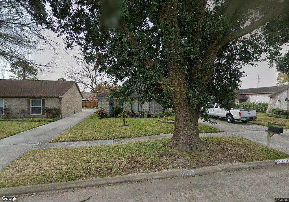
10122 Trade Winds Dr Houston, TX 77086
North Houston NeighborhoodEstimated Value: $215,000 - $244,000
3
Beds
2
Baths
1,701
Sq Ft
$135/Sq Ft
Est. Value
About This Home
This home is located at 10122 Trade Winds Dr, Houston, TX 77086 and is currently estimated at $229,293, approximately $134 per square foot. 10122 Trade Winds Dr is a home located in Harris County with nearby schools including Kujawa EC/Pre-K/K School, Carmichael Elementary School, and Shotwell Middle School.
Ownership History
Date
Name
Owned For
Owner Type
Purchase Details
Closed on
Jun 4, 1998
Sold by
Sotelo Gabriel and Sotelo Rebecca L
Bought by
Santos Juan A and Santos Angela Giron
Current Estimated Value
Home Financials for this Owner
Home Financials are based on the most recent Mortgage that was taken out on this home.
Original Mortgage
$59,050
Outstanding Balance
$11,937
Interest Rate
7.17%
Estimated Equity
$217,356
Create a Home Valuation Report for This Property
The Home Valuation Report is an in-depth analysis detailing your home's value as well as a comparison with similar homes in the area
Home Values in the Area
Average Home Value in this Area
Purchase History
| Date | Buyer | Sale Price | Title Company |
|---|---|---|---|
| Santos Juan A | -- | First American Title |
Source: Public Records
Mortgage History
| Date | Status | Borrower | Loan Amount |
|---|---|---|---|
| Open | Santos Juan A | $59,050 |
Source: Public Records
Tax History Compared to Growth
Tax History
| Year | Tax Paid | Tax Assessment Tax Assessment Total Assessment is a certain percentage of the fair market value that is determined by local assessors to be the total taxable value of land and additions on the property. | Land | Improvement |
|---|---|---|---|---|
| 2025 | $1,542 | $221,296 | $38,940 | $182,356 |
| 2024 | $1,542 | $224,736 | $38,940 | $185,796 |
| 2023 | $1,542 | $228,985 | $38,940 | $190,045 |
| 2022 | $3,829 | $192,783 | $33,000 | $159,783 |
| 2021 | $3,473 | $160,405 | $33,000 | $127,405 |
| 2020 | $3,509 | $149,764 | $33,000 | $116,764 |
| 2019 | $3,317 | $145,545 | $16,655 | $128,890 |
| 2018 | $712 | $137,838 | $16,655 | $121,183 |
| 2017 | $2,643 | $129,252 | $14,956 | $114,296 |
| 2016 | $2,403 | $115,371 | $14,956 | $100,415 |
| 2015 | $1,697 | $108,768 | $14,956 | $93,812 |
| 2014 | $1,697 | $81,791 | $14,956 | $66,835 |
Source: Public Records
Map
Nearby Homes
- 10214 Trade Winds Dr
- 6703 Deer Ridge Ln
- 6606 Dusty Dawn Dr
- 6706 Redding Springs Ln
- 10306 Jillana Kaye Dr
- 6830 Desert Rose Ln
- 10730 Antoine Dr
- 6822 Dusty Dawn Dr
- 6622 Sutton Meadows Dr
- 6411 Halstead Meadows Cir
- 6502 Trail Valley Way
- 7011 Lower Arrow Dr
- 6911 Silver Star Dr
- 9815 Lonsford Dr
- 3265 Frick Rd
- 0 Tomball Pkwy
- 10522 Northview Dr
- 5914 Stirring Winds Ln
- 6615 Winding Trace Dr
- 13518 Kaltenbrun Rd
- 10118 Trade Winds Dr
- 10126 Trade Winds Dr
- 10123 Northview Dr
- 10114 Trade Winds Dr
- 10127 Northview Dr
- 10130 Trade Winds Dr
- 10119 Northview Dr
- 10130 Trade Wind
- 10131 Northview Dr
- 10115 Northview Dr
- 10123 Trade Winds Dr
- 10119 Trade Winds Dr
- 10110 Trade Winds Dr
- 10134 Trade Winds Dr
- 10127 Trade Winds Dr
- 10115 Trade Winds Dr
- 10135 Northview Dr
- 10111 Northview Dr
- 10131 Trade Winds Dr
- 10111 Trade Winds Dr