10123 Bolling Blvd Carrollton, VA 23314
Estimated Value: $367,000 - $511,000
3
Beds
3
Baths
2,442
Sq Ft
$177/Sq Ft
Est. Value
About This Home
This home is located at 10123 Bolling Blvd, Carrollton, VA 23314 and is currently estimated at $432,110, approximately $176 per square foot. 10123 Bolling Blvd is a home located in Isle of Wight County with nearby schools including Carrollton Elementary School, Smithfield Middle School, and Smithfield High School.
Ownership History
Date
Name
Owned For
Owner Type
Purchase Details
Closed on
Nov 27, 2024
Sold by
Joyner Gary Thomas and Joyner Mary Lambert
Bought by
Joyner Family Trust and Joyner
Current Estimated Value
Purchase Details
Closed on
Aug 28, 2024
Sold by
Joyner Gary Thomas and Joyner Mary Lambert
Bought by
Joyner Family Trust and Joyner
Purchase Details
Closed on
Jun 21, 2016
Purchase Details
Closed on
Jun 14, 2002
Sold by
Bryant John H Iii Etals
Purchase Details
Closed on
May 23, 1966
Create a Home Valuation Report for This Property
The Home Valuation Report is an in-depth analysis detailing your home's value as well as a comparison with similar homes in the area
Home Values in the Area
Average Home Value in this Area
Purchase History
| Date | Buyer | Sale Price | Title Company |
|---|---|---|---|
| Joyner Family Trust | -- | None Listed On Document | |
| Joyner Family Trust | -- | None Listed On Document | |
| Joyner Family Trust | -- | None Listed On Document | |
| -- | $311,900 | -- | |
| -- | $43,000 | -- | |
| -- | -- | -- |
Source: Public Records
Tax History Compared to Growth
Tax History
| Year | Tax Paid | Tax Assessment Tax Assessment Total Assessment is a certain percentage of the fair market value that is determined by local assessors to be the total taxable value of land and additions on the property. | Land | Improvement |
|---|---|---|---|---|
| 2024 | $2,471 | $338,500 | $60,000 | $278,500 |
| 2023 | $2,457 | $338,500 | $60,000 | $278,500 |
| 2022 | $2,443 | $281,000 | $60,000 | $221,000 |
| 2021 | $2,443 | $281,000 | $60,000 | $221,000 |
| 2020 | $2,443 | $281,000 | $60,000 | $221,000 |
| 2019 | $2,443 | $281,000 | $60,000 | $221,000 |
| 2018 | $2,308 | $265,200 | $50,000 | $215,200 |
| 2016 | $2,326 | $265,200 | $50,000 | $215,200 |
| 2015 | $2,323 | $265,200 | $50,000 | $215,200 |
| 2014 | $2,323 | $264,800 | $60,000 | $204,800 |
| 2013 | -- | $264,800 | $60,000 | $204,800 |
Source: Public Records
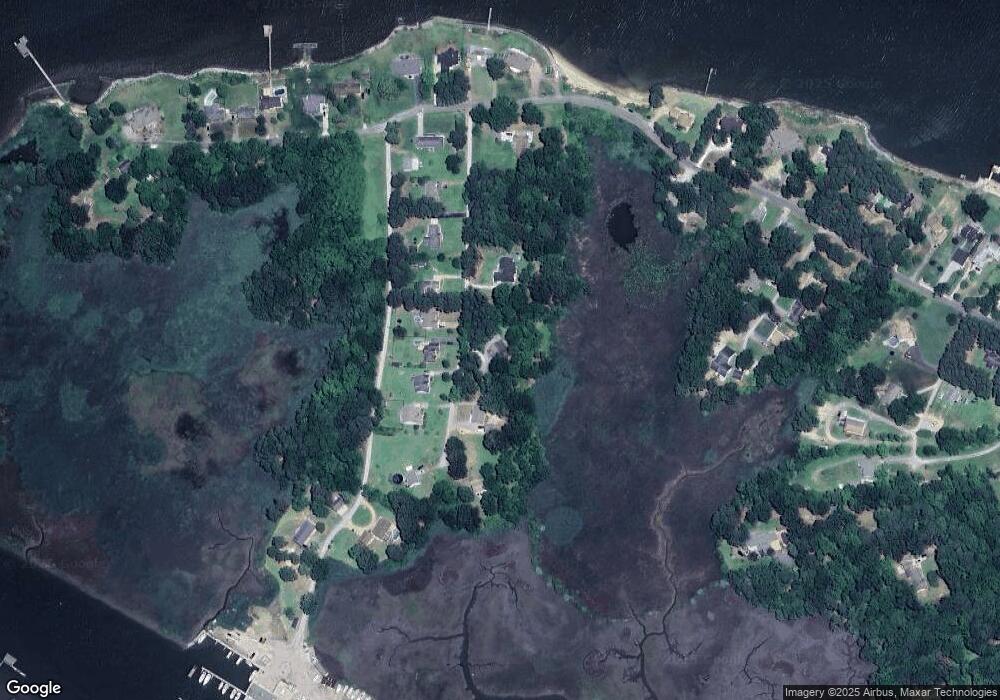
Map
Nearby Homes
- 10409 Rainbow Rd
- 10748 Smiths Neck Rd
- 215 James Landing Cir
- 11170 Olde Towne Place
- 610 Gatling Pointe Pkwy
- 20517 Madison Ct
- 20537 Madison Ct
- 20524 Creekside Dr
- Lot 14 Riverpoint Trail
- 210 Azalea Dr
- 12265 Smiths Neck Rd
- 192 Royal Black Heath
- 12050 Greenbrier Ln
- 503 Lakeview Cove
- McDowell Plan at Mallory Pointe
- Drexel Plan at Mallory Pointe
- Waverly Plan at Mallory Pointe
- Cypress Plan at Mallory Pointe
- Davidson Plan at Mallory Pointe
- Caldwell Plan at Mallory Pointe
- LOT 22 Bolling Blvd
- LOT 17 Bolling Blvd
- LOT 18 Bolling Blvd
- 10147 Bolling Blvd
- 10101 Bolling Blvd
- 10126 Bolling Blvd
- 10144 Bolling Blvd
- 10138 Bolling Blvd
- 10098 Bolling Blvd
- 10142 Bolling Blvd
- 10157 Bolling Blvd
- 10080 Bolling Blvd
- 10156 Bolling Blvd
- 10068 Bolling Blvd
- 10055 Bolling Blvd
- 10169 Brown Marina Rd
- 10150 Rainbow Rd
- 10126 Ogilvy Ln
- 10110 Rainbow Rd
- 10240 Rainbow Rd