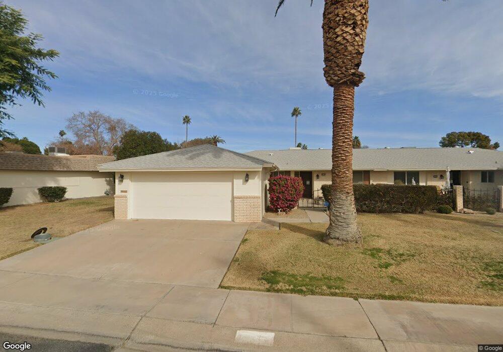
10124 W Forrester Dr Sun City, AZ 85351
Estimated Value: $227,880 - $271,000
--
Bed
2
Baths
1,683
Sq Ft
$153/Sq Ft
Est. Value
About This Home
This home is located at 10124 W Forrester Dr, Sun City, AZ 85351 and is currently estimated at $257,720, approximately $153 per square foot. 10124 W Forrester Dr is a home located in Maricopa County with nearby schools including Desert Mirage Elementary School, Ombudsman - Northwest Charter, and Arrowhead Montessori.
Ownership History
Date
Name
Owned For
Owner Type
Purchase Details
Closed on
Aug 11, 2016
Sold by
Moore Carolyn P
Bought by
The Carolyn P Moore Revocable Trust and Moore Carolyn P
Current Estimated Value
Purchase Details
Closed on
Jul 12, 2001
Sold by
Mounts Thomas T
Bought by
Moore Carolyn P
Home Financials for this Owner
Home Financials are based on the most recent Mortgage that was taken out on this home.
Original Mortgage
$89,103
Outstanding Balance
$34,513
Interest Rate
7.21%
Mortgage Type
FHA
Estimated Equity
$223,207
Create a Home Valuation Report for This Property
The Home Valuation Report is an in-depth analysis detailing your home's value as well as a comparison with similar homes in the area
Home Values in the Area
Average Home Value in this Area
Purchase History
| Date | Buyer | Sale Price | Title Company |
|---|---|---|---|
| The Carolyn P Moore Revocable Trust | -- | None Available | |
| Moore Carolyn P | $89,900 | First American Title |
Source: Public Records
Mortgage History
| Date | Status | Borrower | Loan Amount |
|---|---|---|---|
| Open | Moore Carolyn P | $89,103 |
Source: Public Records
Tax History Compared to Growth
Tax History
| Year | Tax Paid | Tax Assessment Tax Assessment Total Assessment is a certain percentage of the fair market value that is determined by local assessors to be the total taxable value of land and additions on the property. | Land | Improvement |
|---|---|---|---|---|
| 2025 | $981 | $12,143 | -- | -- |
| 2024 | $885 | $11,565 | -- | -- |
| 2023 | $885 | $20,400 | $4,080 | $16,320 |
| 2022 | $833 | $17,600 | $3,520 | $14,080 |
| 2021 | $860 | $15,950 | $3,190 | $12,760 |
| 2020 | $837 | $14,220 | $2,840 | $11,380 |
| 2019 | $825 | $13,610 | $2,720 | $10,890 |
| 2018 | $795 | $12,050 | $2,410 | $9,640 |
| 2017 | $768 | $10,560 | $2,110 | $8,450 |
| 2016 | $719 | $8,680 | $1,730 | $6,950 |
| 2015 | $688 | $8,430 | $1,680 | $6,750 |
Source: Public Records
Map
Nearby Homes
- 10112 W Forrester Dr
- 13410 N Cedar Dr Unit 20
- 10127 W Forrester Dr
- 10114 W Candlewood Dr
- 13620 N Hawthorn Dr
- 13614 N Hawthorn Dr
- 10134 W Forrester Dr
- 10137 W Forrester Dr Unit 20
- 10114 W Royal Oak Rd Unit 20
- 13442 N Emberwood Dr
- 13606 N Redwood Dr Unit 209
- 13433 N Emberwood Dr
- 13636 N Redwood Dr Unit 203
- 13605 N Redwood Dr
- 10012 W Bolivar Dr
- 13420 N Emberwood Dr
- 10040 W Royal Oak Rd Unit B
- 10040 W Royal Oak Rd Unit H
- 13067 N 100th Dr
- 10030 W Royal Oak Rd Unit C
- 10122 W Forrester Dr Unit 113
- 10126 W Forrester Dr Unit 20
- 10119 W Bolivar Dr
- 10128 W Forrester Dr
- 10120 W Forrester Dr Unit 112
- 10117 W Bolivar Dr
- 10121 W Bolivar Dr
- 10125 W Forrester Dr
- 10118 W Forrester Dr
- 10113 W Bolivar Dr Unit 167
- 10125 W Bolivar Dr
- 13415 N Cedar Dr Unit 20
- 10130 W Forrester Dr Unit 117
- 10127 W Bolivar Dr Unit 162
- 10132 W Forrester Dr
- 13413 N Cedar Dr Unit 95
- 10116 W Forrester Dr
- 10131 W Forrester Dr Unit 77
- 10131 W Bolivar Dr Unit 161
- 13414 N Cedar Dr