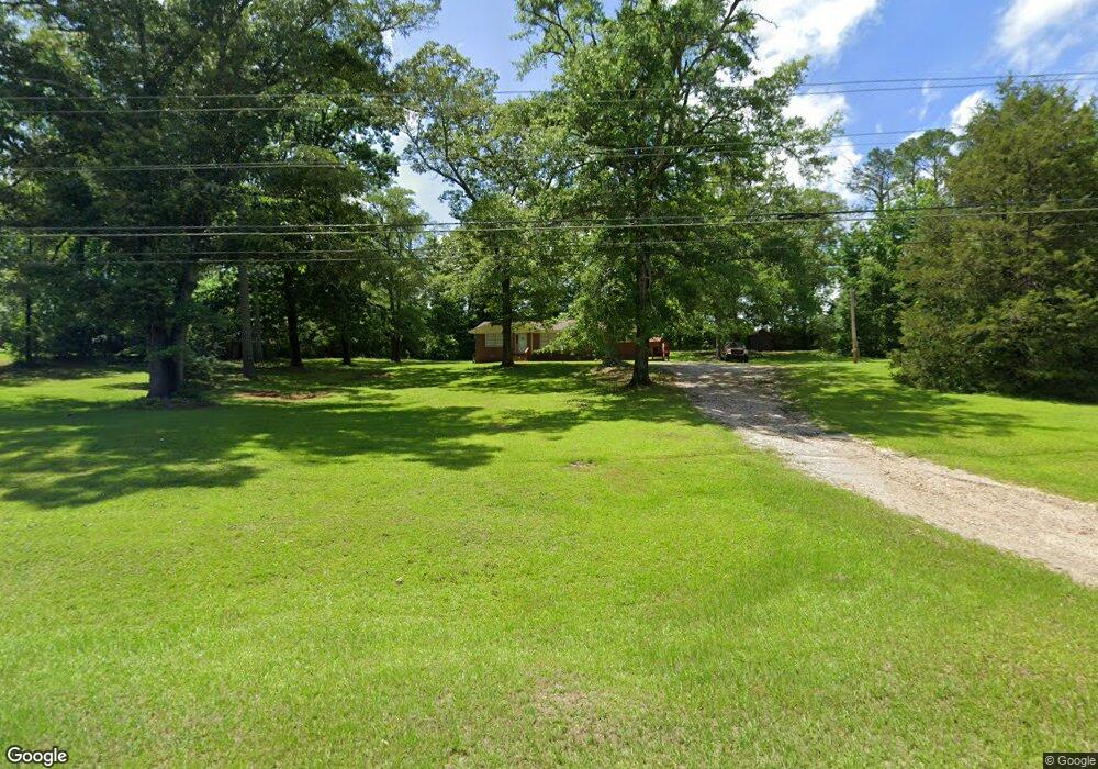
10125 Ga Highway 34 Franklin, GA 30217
Estimated Value: $187,000 - $238,000
3
Beds
1
Bath
1,558
Sq Ft
$136/Sq Ft
Est. Value
About This Home
This home is located at 10125 Ga Highway 34, Franklin, GA 30217 and is currently estimated at $211,285, approximately $135 per square foot. 10125 Ga Highway 34 is a home located in Heard County with nearby schools including Heard County High School.
Ownership History
Date
Name
Owned For
Owner Type
Purchase Details
Closed on
Sep 30, 2019
Sold by
Holloway Martha Janice
Bought by
Hamil Tina H
Current Estimated Value
Purchase Details
Closed on
Dec 9, 2015
Sold by
Holloway Burl
Bought by
Holloway Martha Janice
Purchase Details
Closed on
Sep 25, 2012
Sold by
Certusbank
Bought by
Holloway Burl
Purchase Details
Closed on
Jun 5, 2012
Sold by
Wright Alice J
Bought by
Certusbank National Associatio
Purchase Details
Closed on
Feb 23, 1993
Sold by
Wright Raleigh B
Bought by
Wright Alice W
Purchase Details
Closed on
Mar 1, 1988
Sold by
Wright Raleigh B
Bought by
Wright Raleigh B
Purchase Details
Closed on
Feb 1, 1984
Bought by
Carter Ferton J
Purchase Details
Closed on
Apr 1, 1983
Sold by
Carter Ferton J
Bought by
Wright Raleigh B
Create a Home Valuation Report for This Property
The Home Valuation Report is an in-depth analysis detailing your home's value as well as a comparison with similar homes in the area
Home Values in the Area
Average Home Value in this Area
Purchase History
| Date | Buyer | Sale Price | Title Company |
|---|---|---|---|
| Hamil Tina H | -- | -- | |
| Holloway Martha Janice | -- | -- | |
| Holloway Burl | $38,500 | -- | |
| Certusbank National Associatio | $39,900 | -- | |
| Wright Alice W | -- | -- | |
| Wright Raleigh B | $3,000 | -- | |
| Carter Ferton J | $24,000 | -- | |
| Wright Raleigh B | $31,000 | -- |
Source: Public Records
Tax History Compared to Growth
Tax History
| Year | Tax Paid | Tax Assessment Tax Assessment Total Assessment is a certain percentage of the fair market value that is determined by local assessors to be the total taxable value of land and additions on the property. | Land | Improvement |
|---|---|---|---|---|
| 2024 | $1,027 | $50,940 | $5,407 | $45,533 |
| 2023 | $964 | $46,164 | $4,506 | $41,658 |
| 2022 | $936 | $44,840 | $2,791 | $42,049 |
| 2021 | $759 | $34,526 | $2,790 | $31,736 |
| 2020 | $729 | $32,843 | $2,791 | $30,052 |
| 2019 | $729 | $32,843 | $2,791 | $30,052 |
| 2018 | $743 | $32,843 | $2,791 | $30,052 |
| 2017 | $698 | $30,919 | $2,746 | $28,173 |
| 2016 | $698 | $30,919 | $2,746 | $28,173 |
| 2015 | -- | $20,448 | $4,933 | $15,516 |
| 2014 | -- | $20,451 | $4,933 | $15,518 |
| 2013 | -- | $25,845 | $4,933 | $20,912 |
Source: Public Records
Map
Nearby Homes
- 11 River's Edge Ln Unit LOT 17
- 17 River's Edge Ln Unit LOT 14
- 2176 Franklin Pkwy
- 0 Bevis Rd Parcel 5
- 0 Bevis Rd Parcel 4
- The Lambert Plan at Patterson Park
- The Bradford Plan at Patterson Park
- The Millie Plan at Patterson Park
- The Coleman Plan at Patterson Park
- The Northern Hills Plan at Patterson Park
- The Nelson Plan at Patterson Park
- 125 Patterson Dr
- 155 Patterson Dr
- 25 Patterson Dr
- 105 Patterson Dr
- 0 Georgia 100 Unit 10604110
- 319 +/- AC Georgia 100
- 140+/- AC Georgia 100
- 23 Rivers Edge Ln Unit LOT 11
- 21 Rivers Edge Ln Unit LOT 12
- 10125 Ga Highway 34
- 10125 Ga Highway 34
- 10125 Georgia 34
- 10079 Ga Highway 34
- 10199 Ga Highway 34
- 10199 Ga Highway 34
- 10199 Ga Highway 34
- 10170 Ga Highway 34
- 10199 Georgia 34
- 10118 Ga Highway 34
- 10220 Ga Highway 34
- 10202 Ga Highway 34
- 10259 Ga Highway 34
- 10315 Ga Highway 34
- 9939 Ga Highway 34
- 9958 Ga Highway 34
- 10375 Ga Highway 34
- 10383 Ga Highway 34
- 10310 Ga Highway 34
- 9767 Georgia 34
