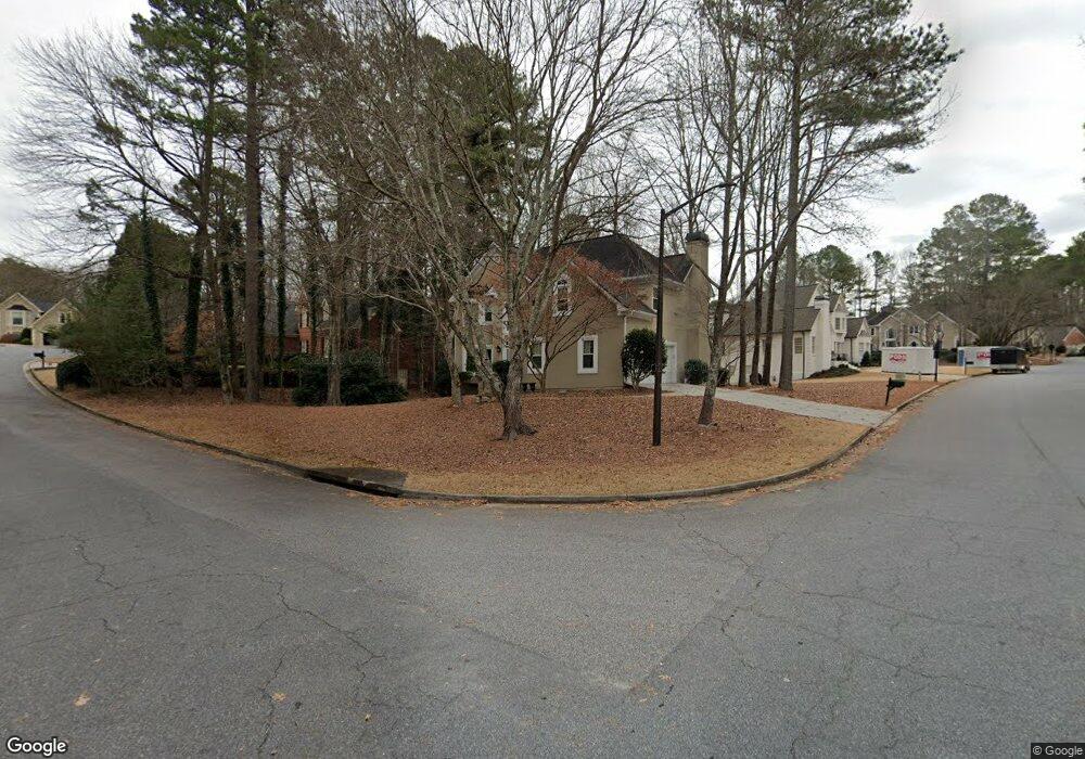
10125 Groomsbridge Rd Unit 1 Alpharetta, GA 30022
Medlock Bridge NeighborhoodEstimated Value: $703,000 - $780,000
4
Beds
5
Baths
2,295
Sq Ft
$323/Sq Ft
Est. Value
About This Home
This home is located at 10125 Groomsbridge Rd Unit 1, Alpharetta, GA 30022 and is currently estimated at $742,239, approximately $323 per square foot. 10125 Groomsbridge Rd Unit 1 is a home located in Fulton County with nearby schools including Medlock Bridge Elementary School, Autrey Mill Middle School, and Johns Creek High School.
Ownership History
Date
Name
Owned For
Owner Type
Purchase Details
Closed on
Apr 27, 2020
Sold by
Stephens Debra M
Bought by
Stephens Daniel J and Stephens Debra K
Current Estimated Value
Home Financials for this Owner
Home Financials are based on the most recent Mortgage that was taken out on this home.
Original Mortgage
$375,250
Outstanding Balance
$333,763
Interest Rate
3.5%
Mortgage Type
New Conventional
Estimated Equity
$408,476
Purchase Details
Closed on
Feb 16, 2001
Sold by
Land Jana R and Land Jerry K
Bought by
Stephens Daniel J and Stephens Debra M
Home Financials for this Owner
Home Financials are based on the most recent Mortgage that was taken out on this home.
Original Mortgage
$261,200
Interest Rate
7.06%
Mortgage Type
New Conventional
Create a Home Valuation Report for This Property
The Home Valuation Report is an in-depth analysis detailing your home's value as well as a comparison with similar homes in the area
Home Values in the Area
Average Home Value in this Area
Purchase History
| Date | Buyer | Sale Price | Title Company |
|---|---|---|---|
| Stephens Daniel J | -- | -- | |
| Stephens Daniel J | $326,500 | -- |
Source: Public Records
Mortgage History
| Date | Status | Borrower | Loan Amount |
|---|---|---|---|
| Open | Stephens Daniel J | $375,250 | |
| Previous Owner | Stephens Daniel J | $261,200 |
Source: Public Records
Tax History Compared to Growth
Tax History
| Year | Tax Paid | Tax Assessment Tax Assessment Total Assessment is a certain percentage of the fair market value that is determined by local assessors to be the total taxable value of land and additions on the property. | Land | Improvement |
|---|---|---|---|---|
| 2025 | $6,987 | $258,520 | $77,960 | $180,560 |
| 2023 | $6,381 | $226,080 | $69,400 | $156,680 |
| 2022 | $5,320 | $173,360 | $46,720 | $126,640 |
| 2021 | $5,163 | $163,880 | $41,400 | $122,480 |
| 2020 | $5,022 | $156,000 | $45,160 | $110,840 |
| 2019 | $604 | $153,240 | $44,360 | $108,880 |
| 2018 | $4,873 | $149,640 | $43,320 | $106,320 |
| 2017 | $4,211 | $123,720 | $38,200 | $85,520 |
| 2016 | $4,150 | $123,720 | $38,200 | $85,520 |
| 2015 | $4,196 | $123,720 | $38,200 | $85,520 |
| 2014 | $4,363 | $123,720 | $38,200 | $85,520 |
Source: Public Records
Map
Nearby Homes
- 1003 Crown Oak St Unit 43
- 1005 Crown Oak St Unit 44
- 1017 Crown Oak St Unit 50
- 1007 Crown Oak St Unit 45
- 1011 Crown Oak St Unit 47
- 510 Winston Croft Cir Unit 56
- 1019 Crown Oak St Unit 51
- 504 Winston Croft Cir Unit 54
- 149 Wards Crossing Way Unit 10
- 149 Wards Crossing Way
- 153 Wards Crossing Way Unit 8
- 153 Wards Crossing Way
- The Ellington Plan at Ward's Crossing
- The Jacobsen I Plan at Ward's Crossing
- The Jacobsen II Plan at Ward's Crossing
- The Benton III Plan at Ward's Crossing
- 608 Goldsmith Ct Unit 113
- 200 Wheatland Rd
- 606 Goldsmith Ct Unit 114
- 602 Goldsmith Ct Unit 116
- 315 Morgan Hill Ct Unit 1
- 10115 Groomsbridge Rd
- 5480 Grove Point Rd Unit 1
- 300 Morgan Hill Ct
- 325 Morgan Hill Ct
- 5490 Grove Point Rd
- 400 Barlow Ct
- 310 Morgan Hill Ct
- 5500 Grove Point Rd
- 10095 Groomsbridge Rd Unit 1
- 335 Morgan Hill Ct
- 5495 Grove Point Rd Unit 1
- 320 Morgan Hill Ct
- 420 Barlow Ct
- 220 Chiswick Close Unit 1
- 5505 Grove Point Rd
- 425 Barlow Ct
- 10110 Groomsbridge Rd
- 10085 Groomsbridge Rd
- 10155 Groomsbridge Rd