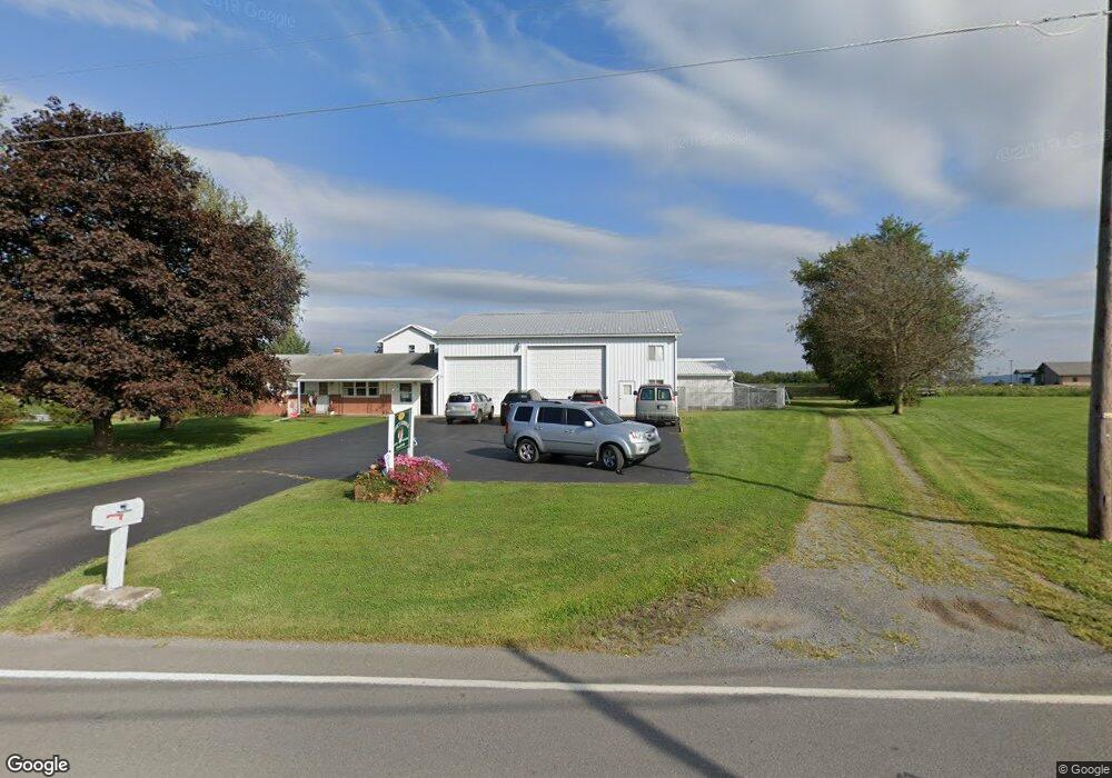
10125 State Route 44 Watsontown, PA 17777
Estimated Value: $129,673 - $406,000
--
Bed
--
Bath
--
Sq Ft
0.8
Acres
About This Home
This home is located at 10125 State Route 44, Watsontown, PA 17777 and is currently estimated at $285,668. 10125 State Route 44 is a home located in Northumberland County with nearby schools including Warrior Run High School, Keefertown Parochial School, and Maranatha Christian School.
Ownership History
Date
Name
Owned For
Owner Type
Purchase Details
Closed on
Nov 7, 2025
Sold by
Byers Stephanie S and Byers Robert L
Bought by
Byers Ryan M
Current Estimated Value
Purchase Details
Closed on
Feb 7, 2022
Sold by
Sudol Tresha A
Bought by
Byers Stephanie S
Create a Home Valuation Report for This Property
The Home Valuation Report is an in-depth analysis detailing your home's value as well as a comparison with similar homes in the area
Home Values in the Area
Average Home Value in this Area
Purchase History
| Date | Buyer | Sale Price | Title Company |
|---|---|---|---|
| Byers Ryan M | -- | None Listed On Document | |
| Byers Stephanie S | -- | None Listed On Document |
Source: Public Records
Tax History Compared to Growth
Tax History
| Year | Tax Paid | Tax Assessment Tax Assessment Total Assessment is a certain percentage of the fair market value that is determined by local assessors to be the total taxable value of land and additions on the property. | Land | Improvement |
|---|---|---|---|---|
| 2025 | $4,097 | $33,300 | $2,410 | $30,890 |
| 2024 | $3,804 | $33,300 | $2,410 | $30,890 |
| 2023 | $3,804 | $33,300 | $2,410 | $30,890 |
| 2022 | $3,732 | $33,300 | $2,410 | $30,890 |
| 2021 | $3,653 | $33,300 | $2,410 | $30,890 |
| 2020 | $3,605 | $33,300 | $2,410 | $30,890 |
| 2019 | $3,481 | $33,300 | $2,410 | $30,890 |
| 2018 | $3,453 | $33,300 | $2,410 | $30,890 |
| 2017 | $3,272 | $33,300 | $2,410 | $30,890 |
| 2016 | -- | $33,300 | $2,410 | $30,890 |
| 2015 | -- | $33,300 | $2,410 | $30,890 |
| 2014 | -- | $33,300 | $2,410 | $30,890 |
Source: Public Records
Map
Nearby Homes
- 2498 Susquehanna Trail
- 0 Susquehanna Trail
- 2860 8th Street Dr
- 0 Voris Ln
- 384 Pine St
- 359 Main St
- 342 Pine St
- 0 Paradise Rd
- 248 Main St
- 159 Grandview Dr
- 52 Washington St
- 21 Main St
- 115 E 4th St
- 215 E 8th St
- 5 W 7th St
- PARCEL102A Dachshund Dr
- 818 Main St Unit 820
- 953 Schuyler Rd
- 813 Elm St
- 229 Harvey's Ln
- 10095 State Route 44
- 10195 State Route 44
- 10195 State Route 44
- 45 Rovenolt Dr
- 121 Rovenolt Dr
- 175 Rovenolt Dr
- 233 Rovenolt Dr
- 264 Rovenolt Dr
- 271 Rovenolt Dr
- 331 Rovenolt Dr
- 24 Walnut St
- 351 Rovenolt Dr
- 9725 State Route 44
- 20 Walnut St
- 21 Walnut St
- 16 Walnut St
- 389 Rovenolt Dr
- 9685 State Route 44
- 34 Walnut Ct
- 12 Walnut St