10126 Bolling Blvd Carrollton, VA 23314
Estimated Value: $391,000 - $491,000
3
Beds
3
Baths
2,324
Sq Ft
$191/Sq Ft
Est. Value
About This Home
This home is located at 10126 Bolling Blvd, Carrollton, VA 23314 and is currently estimated at $444,011, approximately $191 per square foot. 10126 Bolling Blvd is a home located in Isle of Wight County with nearby schools including Carrollton Elementary School, Smithfield Middle School, and Smithfield High School.
Ownership History
Date
Name
Owned For
Owner Type
Purchase Details
Closed on
Sep 20, 2018
Sold by
Williams Bryan K and Williams Emma F
Bought by
Brown Susan C and Odom Christine
Current Estimated Value
Home Financials for this Owner
Home Financials are based on the most recent Mortgage that was taken out on this home.
Original Mortgage
$287,892
Outstanding Balance
$250,542
Interest Rate
4.5%
Mortgage Type
New Conventional
Estimated Equity
$193,469
Purchase Details
Closed on
Apr 4, 2002
Sold by
Bryant John H Iii Etals
Create a Home Valuation Report for This Property
The Home Valuation Report is an in-depth analysis detailing your home's value as well as a comparison with similar homes in the area
Home Values in the Area
Average Home Value in this Area
Purchase History
| Date | Buyer | Sale Price | Title Company |
|---|---|---|---|
| Brown Susan C | $320,000 | -- | |
| -- | $40,000 | -- |
Source: Public Records
Mortgage History
| Date | Status | Borrower | Loan Amount |
|---|---|---|---|
| Open | Brown Susan C | $287,892 |
Source: Public Records
Tax History Compared to Growth
Tax History
| Year | Tax Paid | Tax Assessment Tax Assessment Total Assessment is a certain percentage of the fair market value that is determined by local assessors to be the total taxable value of land and additions on the property. | Land | Improvement |
|---|---|---|---|---|
| 2024 | $2,765 | $378,800 | $60,000 | $318,800 |
| 2023 | $2,743 | $378,800 | $60,000 | $318,800 |
| 2022 | $2,610 | $300,700 | $60,000 | $240,700 |
| 2021 | $2,610 | $300,700 | $60,000 | $240,700 |
| 2020 | $2,610 | $300,700 | $60,000 | $240,700 |
| 2019 | $2,610 | $300,700 | $60,000 | $240,700 |
| 2018 | $2,469 | $284,100 | $50,000 | $234,100 |
| 2016 | $2,487 | $284,100 | $50,000 | $234,100 |
| 2015 | $2,450 | $284,100 | $50,000 | $234,100 |
| 2014 | $2,450 | $279,800 | $60,000 | $219,800 |
| 2013 | -- | $279,800 | $60,000 | $219,800 |
Source: Public Records
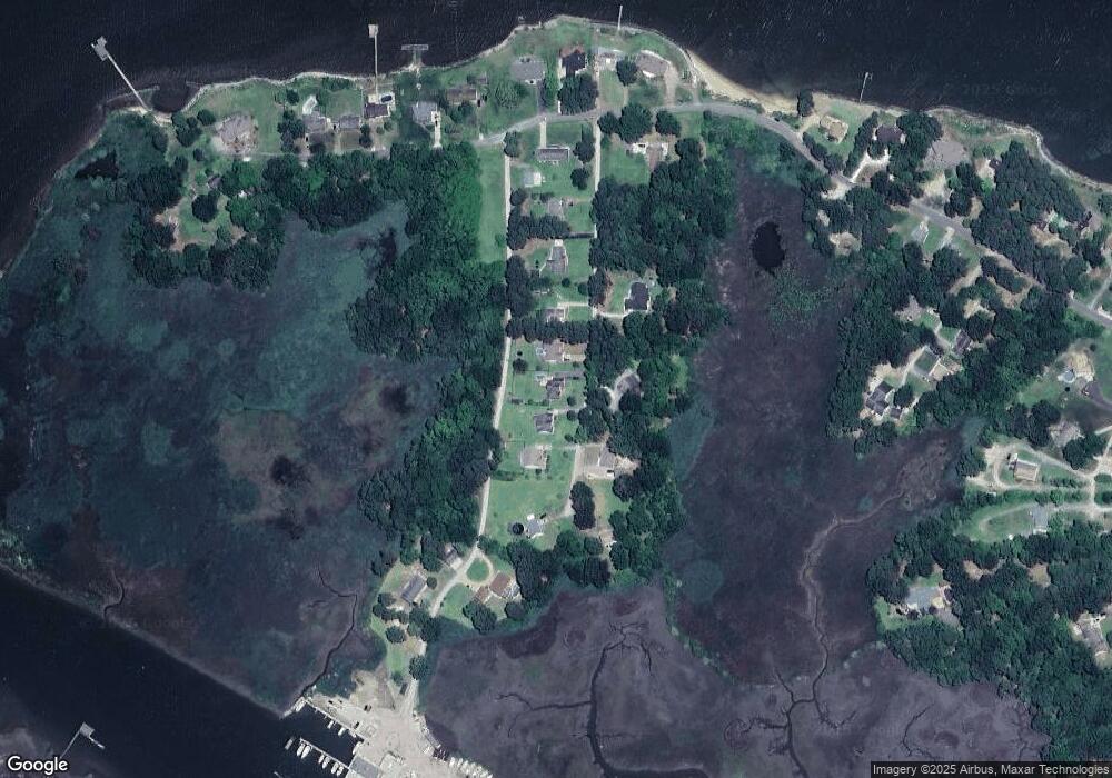
Map
Nearby Homes
- 10409 Rainbow Rd
- 10748 Smiths Neck Rd
- 215 James Landing Cir
- 11170 Olde Towne Place
- 610 Gatling Pointe Pkwy
- 20517 Madison Ct
- 20537 Madison Ct
- 20524 Creekside Dr
- Lot 14 Riverpoint Trail
- 210 Azalea Dr
- 192 Royal Black Heath
- 12265 Smiths Neck Rd
- 12050 Greenbrier Ln
- 503 Lakeview Cove
- McDowell Plan at Mallory Pointe
- Drexel Plan at Mallory Pointe
- Waverly Plan at Mallory Pointe
- Cypress Plan at Mallory Pointe
- Davidson Plan at Mallory Pointe
- Caldwell Plan at Mallory Pointe
- 10144 Bolling Blvd
- 10138 Bolling Blvd
- LOT 22 Bolling Blvd
- LOT 17 Bolling Blvd
- LOT 18 Bolling Blvd
- 10142 Bolling Blvd
- 10098 Bolling Blvd
- 10123 Bolling Blvd
- 10147 Bolling Blvd
- 10101 Bolling Blvd
- 10080 Bolling Blvd
- 10156 Bolling Blvd
- 10157 Bolling Blvd
- 10068 Bolling Blvd
- 10169 Brown Marina Rd
- 10150 Rainbow Rd
- 10110 Rainbow Rd
- 10055 Bolling Blvd
- 10180 Brown Marina Rd
- 10121 Rainbow Rd