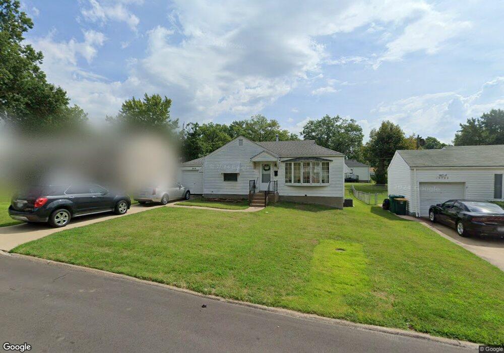
10126 Tappan Dr Saint Louis, MO 63137
Estimated Value: $75,000 - $92,000
2
Beds
1
Bath
792
Sq Ft
$106/Sq Ft
Est. Value
About This Home
This home is located at 10126 Tappan Dr, Saint Louis, MO 63137 and is currently estimated at $84,185, approximately $106 per square foot. 10126 Tappan Dr is a home located in St. Louis County with nearby schools including Riverview Gardens Senior High School, Grace Chapel Lutheran School, and St. Louis Unified School.
Ownership History
Date
Name
Owned For
Owner Type
Purchase Details
Closed on
Aug 13, 2010
Sold by
Secretary Of Housing & Urban Development
Bought by
Property Acquisition & Holdings Llc
Current Estimated Value
Purchase Details
Closed on
Jan 12, 2010
Sold by
Citimortgage Inc
Bought by
Secretary Of Housing & Urban Development
Purchase Details
Closed on
Jan 4, 2010
Sold by
Hayes Jerron and Anderson Patrice N
Bought by
Citimortgage Inc
Purchase Details
Closed on
Oct 27, 2000
Sold by
Maneke Debra Kay and Maneke John
Bought by
Anderson Patrice N and Hayes Jerron
Home Financials for this Owner
Home Financials are based on the most recent Mortgage that was taken out on this home.
Original Mortgage
$58,581
Interest Rate
7.9%
Mortgage Type
FHA
Create a Home Valuation Report for This Property
The Home Valuation Report is an in-depth analysis detailing your home's value as well as a comparison with similar homes in the area
Home Values in the Area
Average Home Value in this Area
Purchase History
| Date | Buyer | Sale Price | Title Company |
|---|---|---|---|
| Property Acquisition & Holdings Llc | $25,684 | Northwest | |
| Secretary Of Housing & Urban Development | $63,939 | None Available | |
| Citimortgage Inc | $63,939 | None Available | |
| Anderson Patrice N | -- | -- |
Source: Public Records
Mortgage History
| Date | Status | Borrower | Loan Amount |
|---|---|---|---|
| Previous Owner | Anderson Patrice N | $58,581 |
Source: Public Records
Tax History Compared to Growth
Tax History
| Year | Tax Paid | Tax Assessment Tax Assessment Total Assessment is a certain percentage of the fair market value that is determined by local assessors to be the total taxable value of land and additions on the property. | Land | Improvement |
|---|---|---|---|---|
| 2025 | $1,482 | $13,720 | $2,740 | $10,980 |
| 2024 | $1,482 | $12,810 | $2,740 | $10,070 |
| 2023 | $1,464 | $12,810 | $2,740 | $10,070 |
| 2022 | $1,405 | $9,830 | $1,960 | $7,870 |
| 2021 | $1,392 | $10,280 | $1,960 | $8,320 |
| 2020 | $1,104 | $8,460 | $2,360 | $6,100 |
| 2019 | $1,073 | $8,460 | $2,360 | $6,100 |
| 2018 | $918 | $6,750 | $860 | $5,890 |
| 2017 | $888 | $6,750 | $860 | $5,890 |
| 2016 | $900 | $6,750 | $1,620 | $5,130 |
| 2015 | $820 | $6,750 | $1,620 | $5,130 |
| 2014 | $1,036 | $8,620 | $2,050 | $6,570 |
Source: Public Records
Map
Nearby Homes
- 10200 Tappan Dr
- 10218 Unicorn Dr
- 10233 Unicorn Dr
- 10139 Cabot Dr
- 1132 Kilgore Dr
- 10236 Tappan Dr
- 10130 Newbold Dr
- 10249 Coburg Lands Dr
- 1213 Addison Dr
- 10346 Ashbrook Dr
- 1207 Bakewell Dr
- 1122 Roxton Dr
- 1131 Roxton Dr
- 1422 Akron Dr
- 10043 Hedge Dr
- 1100 La Roux Ct
- 1222 Hoyt Dr
- 936 Amaral Cir
- 1507 Golden Dr
- 10537 Repose Dr
- 10122 Tappan Dr
- 10130 Tappan Dr
- 10169 Cabot Dr
- 10118 Tappan Dr
- 10165 Cabot Dr
- 10177 Cabot Dr
- 10201 Unicorn Dr
- 10123 Tappan Dr
- 10181 Cabot Dr
- 10161 Cabot Dr
- 10204 Tappan Dr
- 1119 Laire Dr
- 10201 Tappan Dr
- 10185 Cabot Dr
- 10209 Unicorn Dr
- 10110 Tappan Dr
- 10157 Cabot Dr
- 1127 Laire Dr
- 10208 Tappan Dr
- 10164 Cabot Dr